Rivermap
HomeThe Map
List View


 Flusshinweise
Befahrbarkeit
English Summary
Karte Einbetten
Systemstatus
Kontakt und Team
Datenlieferanten
Contributor Agreement
The RCSD
Public licenses
Rivermap Japan
 "Rivermap Supporter" Group
Flusshinweise
Als Grundlage dient wenn immer möglich ein Flussführer.
 RSS-Feed
abonnieren und nichts verpassen.
RSS-Feed
abonnieren und nichts verpassen.
Seite: 1 2 3 4 5 6 7 8 9 10 11 12 . . . 284 285 286
Resultate 161 - 180 von 5719
Glenner (CH), Peiden - Ilanz
 Gefahr vorübergehend
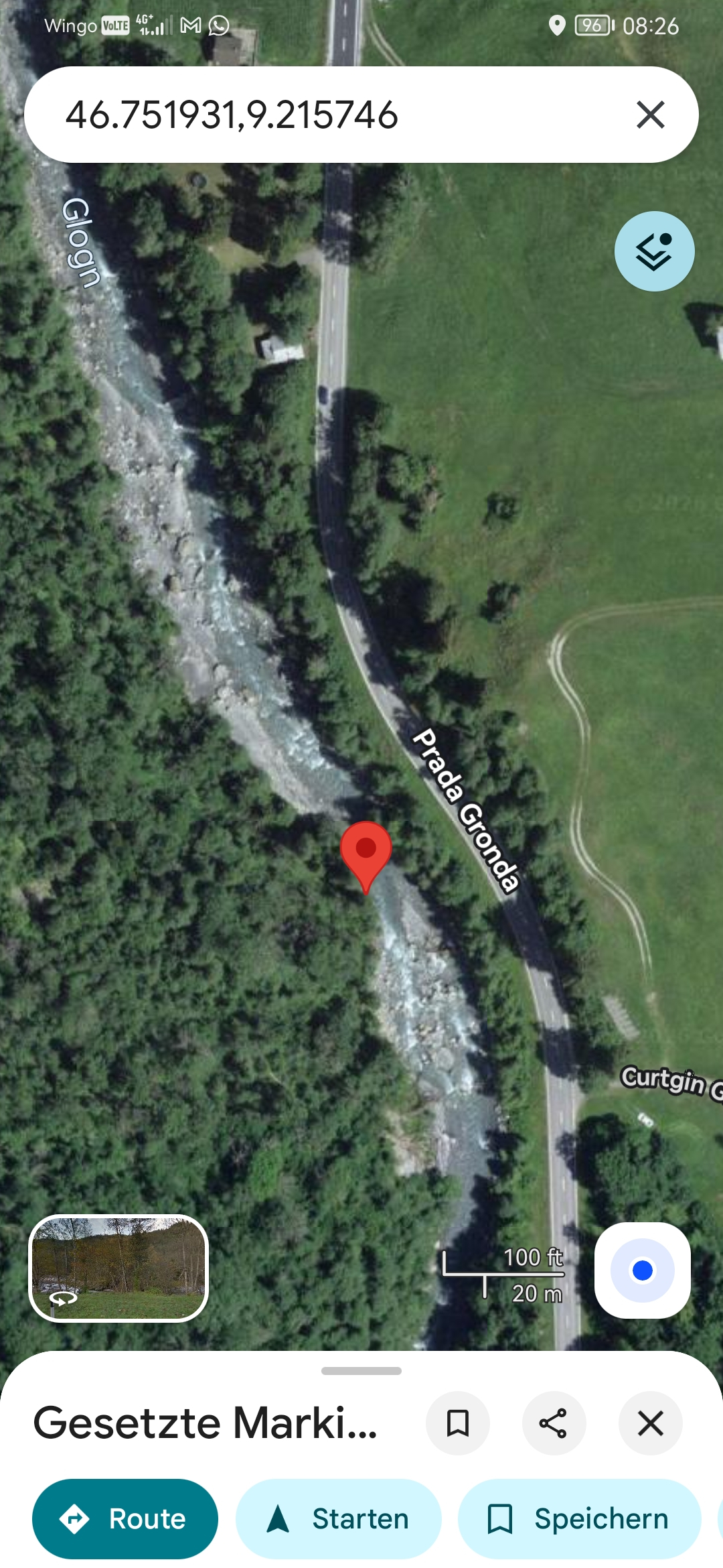
Baum hängt vom Ufer aus direkt nach der Stelle von der Felswand links in die Hauptströmung. Man kommt easy dran vorbei... Wenn man es rechtzeitig sieht... Kann man bereits beim hochfahren anschauen...
 • #7378 • 06.06.2026 08:34
Glenner (CH), Uors - Peiden
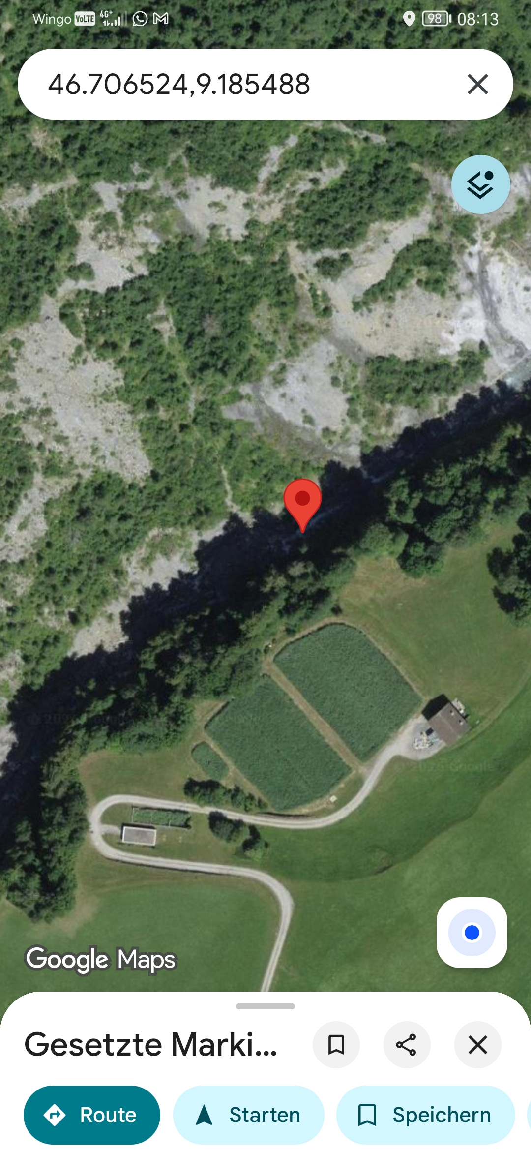
Gefahr vorübergehendBaum Quer.. Sieht man erst spät! Links vorbeifahren je nach Pegel anspruchsvoll bzw riskant. Am besten nach der kleinen Stufe an der Felswand Linksseitig anschauen
 • #7377 • 06.06.2026 08:24
Glenner (CH), Peiden - Ilanz
Befahrbarkeit
we ran it today from about 500 meters or so below the Peiden dam drop.
all clear, no trees.
lines are the same as they used to be.
Cheers,
Kilian
all clear, no trees.
lines are the same as they used to be.
Cheers,
Kilian
• #7376 • 05.06.2026 18:33Landquart (CH), Gulfia - Serneus
Bewertung NW-MW-HW
bei 140 minimal wasser. mitte ca bei 160 geschätzt
einfacher als unten aber auch schnell und steinig
einfacher als unten aber auch schnell und steinig
• #7374 • 05.06.2026 14:54Landquart (CH), Serneus - Küblis
Gefahr vorübergehendhttps://maps.app.goo.gl/fJ6yuLd199ocJNQZ9?g_st=ac
ungefähr hier. gefährlicher baum. links tragen
ungefähr hier. gefährlicher baum. links tragen
 • #7373 • 05.06.2026 13:54
Vorderrhein (CH), Versam - Reichenau
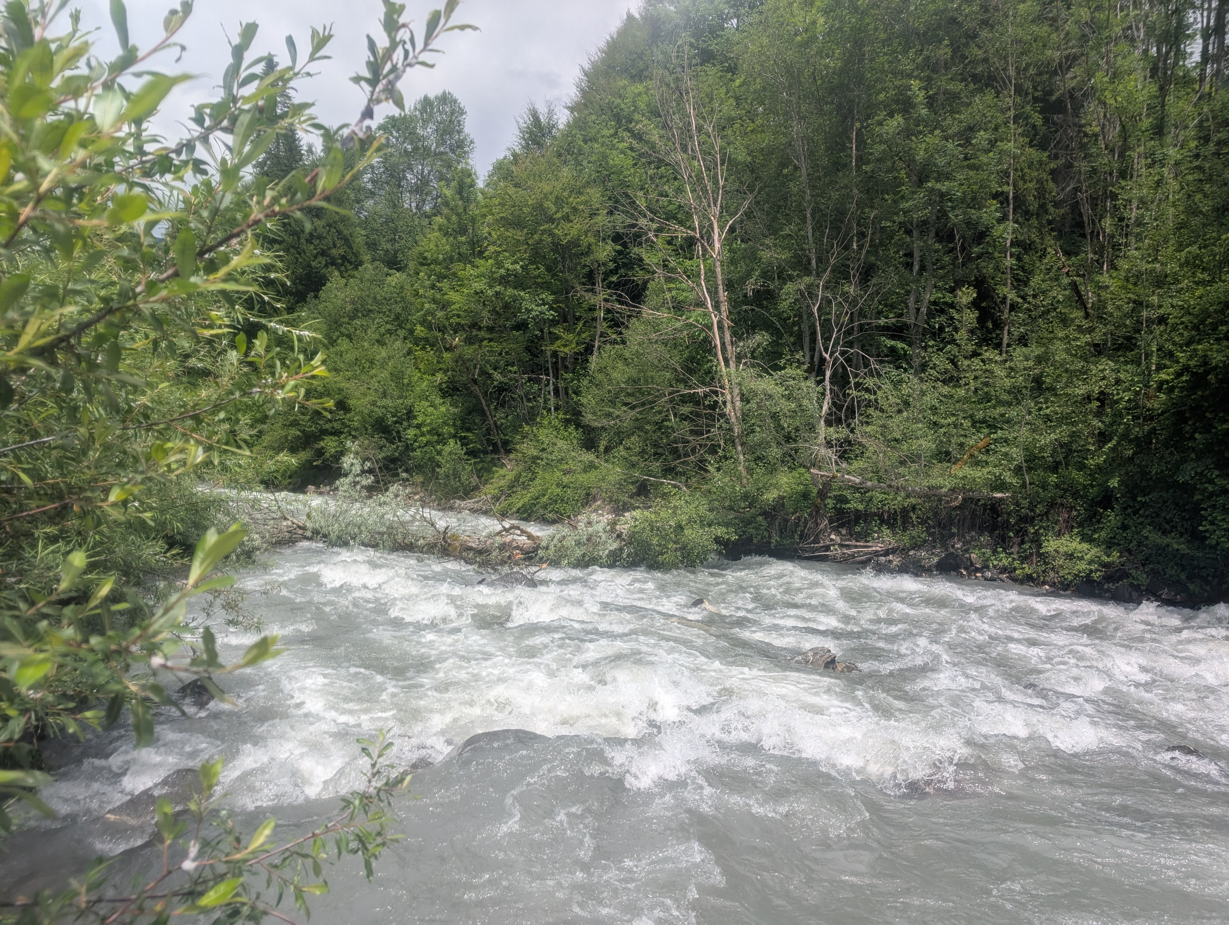
Gefahr vorübergehendChrummwag: hier liegt ein Baum in der Aussenkurve zwischen Ufer und grossem Felsblock. bei 52 m3/s nicht gut zu sehen von oben, knapp überspült. Links am Felsblock vorbeifahren!! sehr gefährlich.
https://maps.app.goo.gl/g7PCUVK2KNHghZFZA?g_st=ac
https://maps.app.goo.gl/g7PCUVK2KNHghZFZA?g_st=ac
• #7372 • 05.06.2026 06:45Coulomp (FR), Vaire confluence - Confluence avec le Var
Befahrbarkeit
message sans info
• #7371 • 04.06.2026 20:02Inn (CH), Brail Schlucht
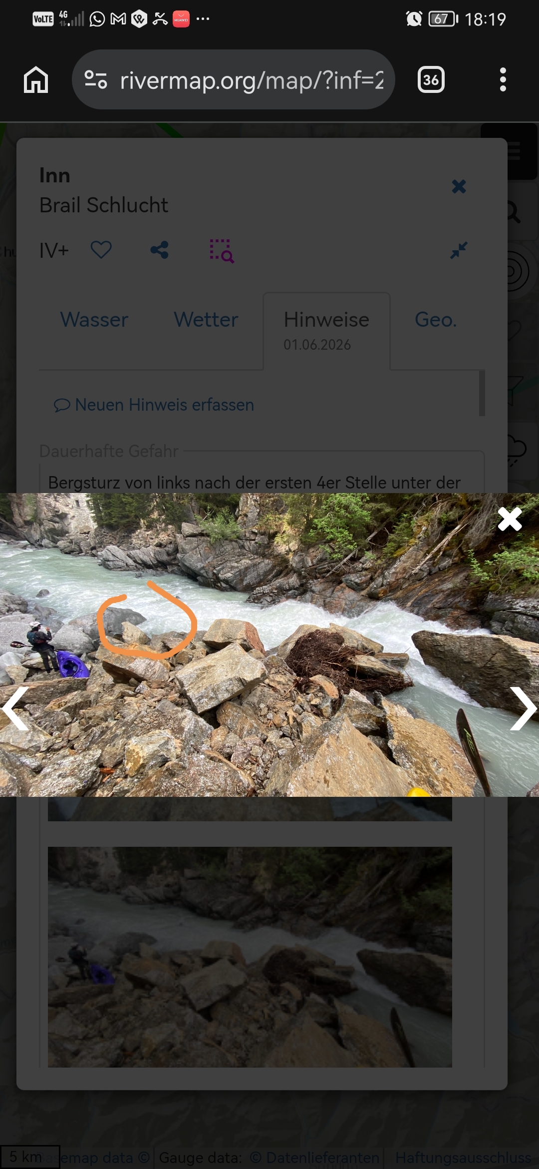
GefahrWas die Stelle im Bild gefährlich macht ist hauptsächlich der grosse Siphon links in welchen ein grossteil der Strömung schiebt. Bei mehr als 14m3 schwer erkennbar aber trotzdem dort!
 • #7370 • 04.06.2026 18:30
Muota (CH), Muotathal, Fussballplatz - Illgau, Holzlagerplatz
Gefahr aufgehoben
Befahren am 3.6.26 bei 50 Kubik/s.
Alles frei.
Baumhindernis #7211 nicht amgetroffen.
Alles frei.
Baumhindernis #7211 nicht amgetroffen.
• #7369 • 04.06.2026 06:02Landquart (CH), Gulfia - Serneus
Bewertung WW-Grad
considering comments from section above, this seems to be class 4-5.
also comments from upper are in part seemingly for this section? take care.
cheers,
Kilian
also comments from upper are in part seemingly for this section? take care.
cheers,
Kilian
• #7368 • 04.06.2026 00:05Landquart (CH), Klosters - Gulfia
Bewertung WW-Grad
class V-VI
please adjust rating.
please adjust rating.
• #7367 • 04.06.2026 00:01Landquart (CH), Klosters - Gulfia
Info
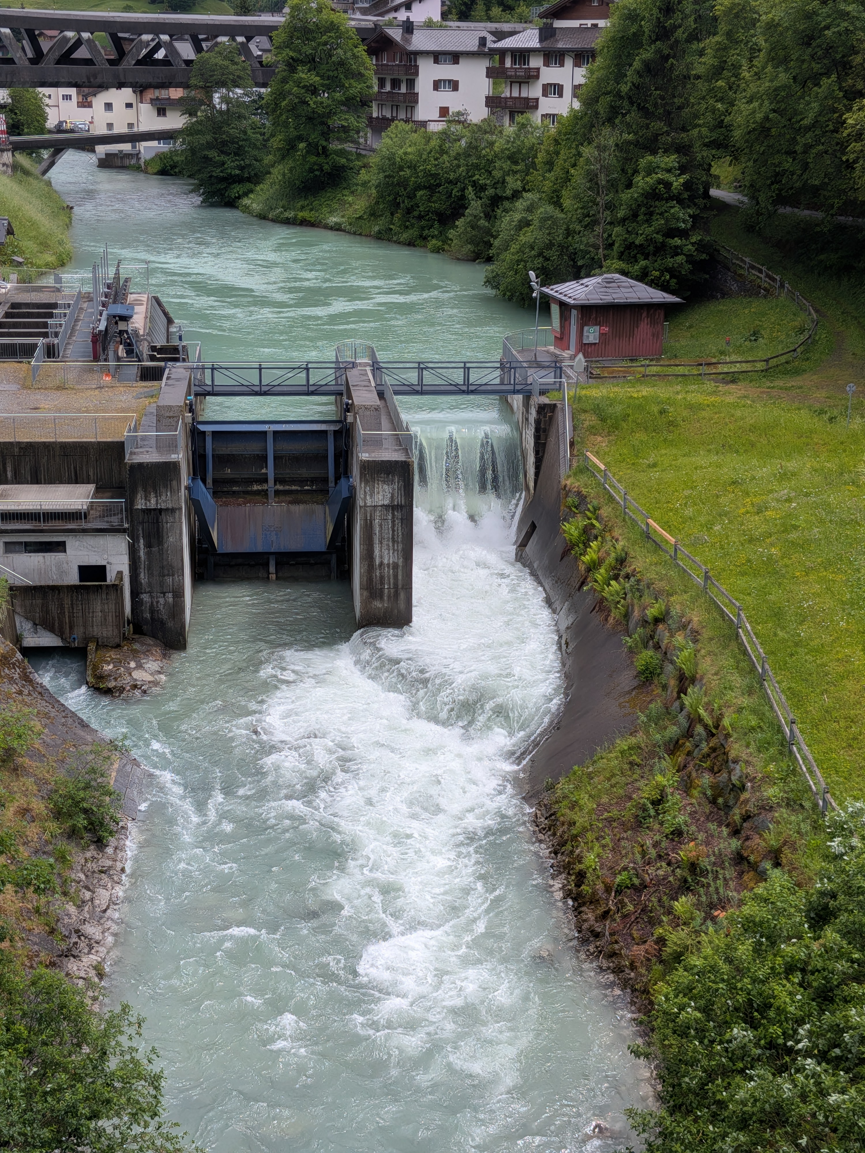
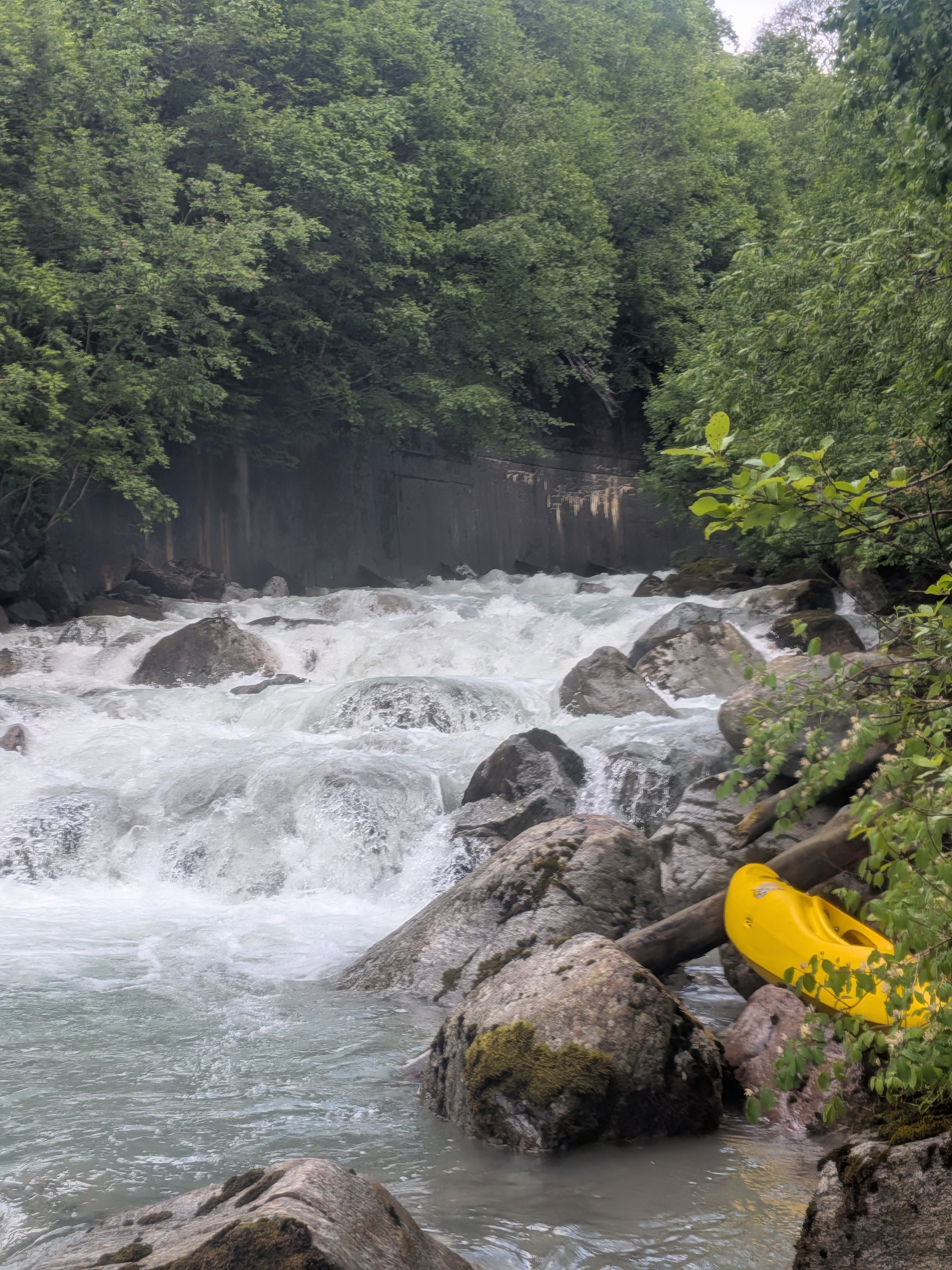
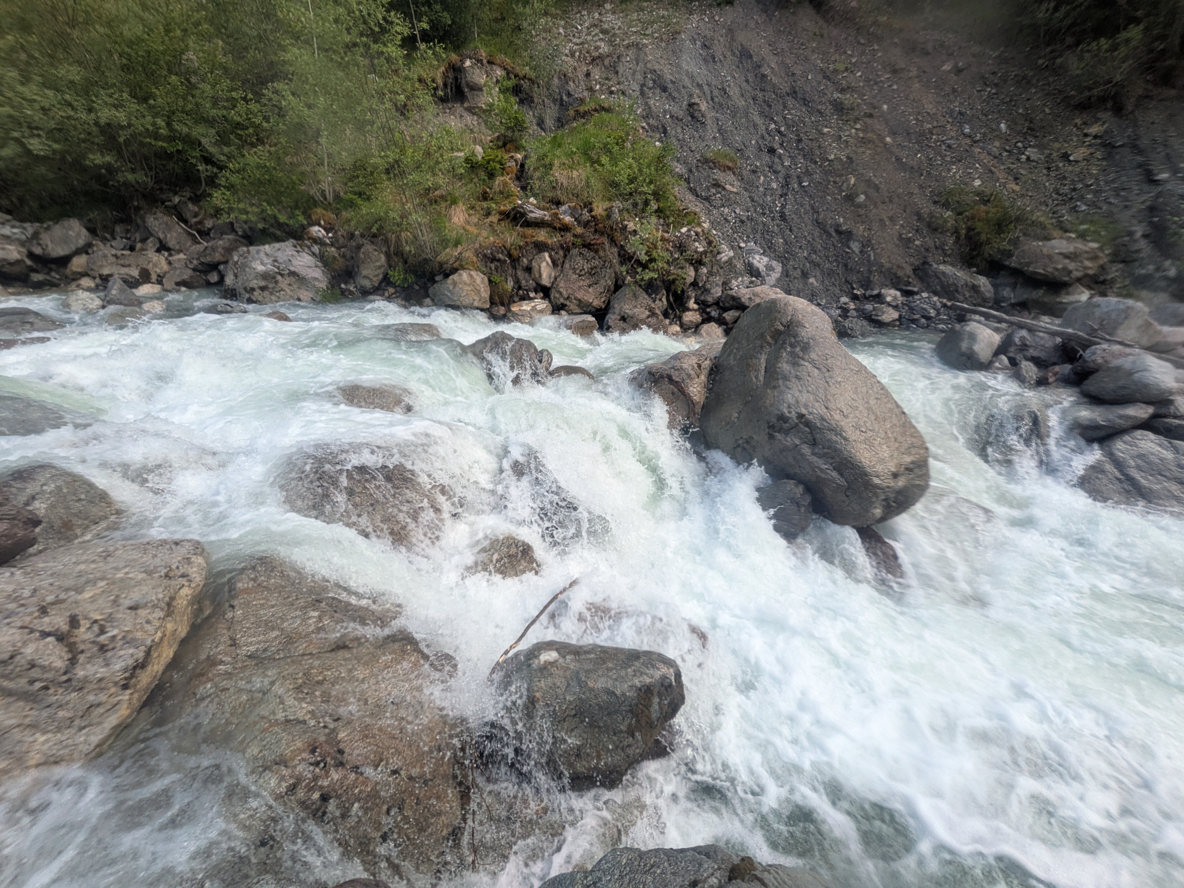
additional note regarding the picture of the hard rapid: the drop is about 2,5 maybe 3 meters high.
it just looks small on the picture.
cheers,
Kilian
it just looks small on the picture.
cheers,
Kilian
• #7366 • 03.06.2026 23:51Landquart (CH), Klosters - Gulfia
Info
we ran this today, assuming a nice class 4-5.
luckily we are strong paddlers.
maybe the river changed?
we rate this whole section class V+/V-VI. the waterlevel was a low medium in our opinion.
we ran all rapids and took out one tree.
no portages required. but you shouldn't miss your lines or boofs. definitely no rolling and no swimming allowed.
after about one kilometer the run becomes roadside. before that exiting is a brutal and long bushwack climb.
definitely scout every chance you get. eddies are few and small. probably sholdnt go with more than 3 people. 4 at the utmost.
run might be great if you do it several times within one season and know the lines and that it is free. without a guide its a mission.
cheers
Kilian
luckily we are strong paddlers.
maybe the river changed?
we rate this whole section class V+/V-VI. the waterlevel was a low medium in our opinion.
we ran all rapids and took out one tree.
no portages required. but you shouldn't miss your lines or boofs. definitely no rolling and no swimming allowed.
after about one kilometer the run becomes roadside. before that exiting is a brutal and long bushwack climb.
definitely scout every chance you get. eddies are few and small. probably sholdnt go with more than 3 people. 4 at the utmost.
run might be great if you do it several times within one season and know the lines and that it is free. without a guide its a mission.
cheers
Kilian
 • #7365 • 03.06.2026 22:27
Morača (ME), Middle
Befahrbarkeit
Done at 28/5/2026 with 67cm at bridge level just before Mrtvica river. Amazing river more in spanish with maps, fotos and topoguides at https://blog.packrafting.cat/rio-moraca-packraft-montenegro Packrafting.cat: https://blog.packrafting.cat
• #7364 • 03.06.2026 14:22Morača (ME), Kanjon
Befahrbarkeit
Done at 28/5/2026 with 67cm at bridge level just before Mrtvica river. Amazing river more in spanish with maps, fotos and topoguides at https://blog.packrafting.cat/rio-moraca-packraft-montenegro Packrafting.cat: https://blog.ackrafting.cat
• #7363 • 03.06.2026 14:14Ubaye (FR), Jausiers - Les Thuiles
Flash!
Lost a black paddle today on the upper ubaye section with a sticker "rough stuff" on the shaft. If found, please contact +31615165906.
• #7362 • 02.06.2026 19:15Ubaye (FR), Sortie des gorges de St.Paul - Jausiers
Flash!
Lost a black paddle today with a sticker "rough stuff" on the shaft. If found, please contact +31615165906.
• #7361 • 02.06.2026 17:01Schlücht (DE), Riedersteg - Witznau
Befahrbarkeit
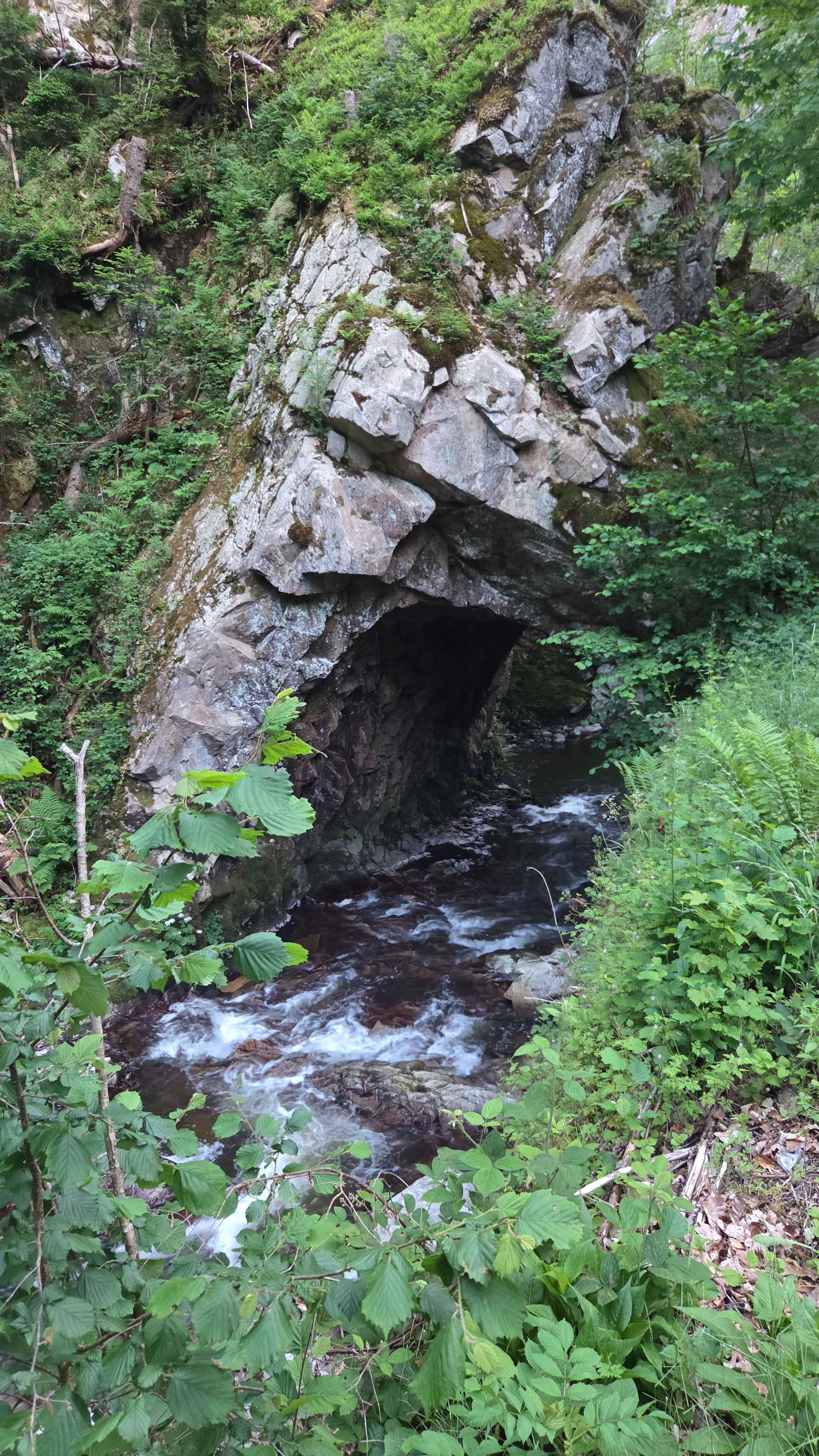
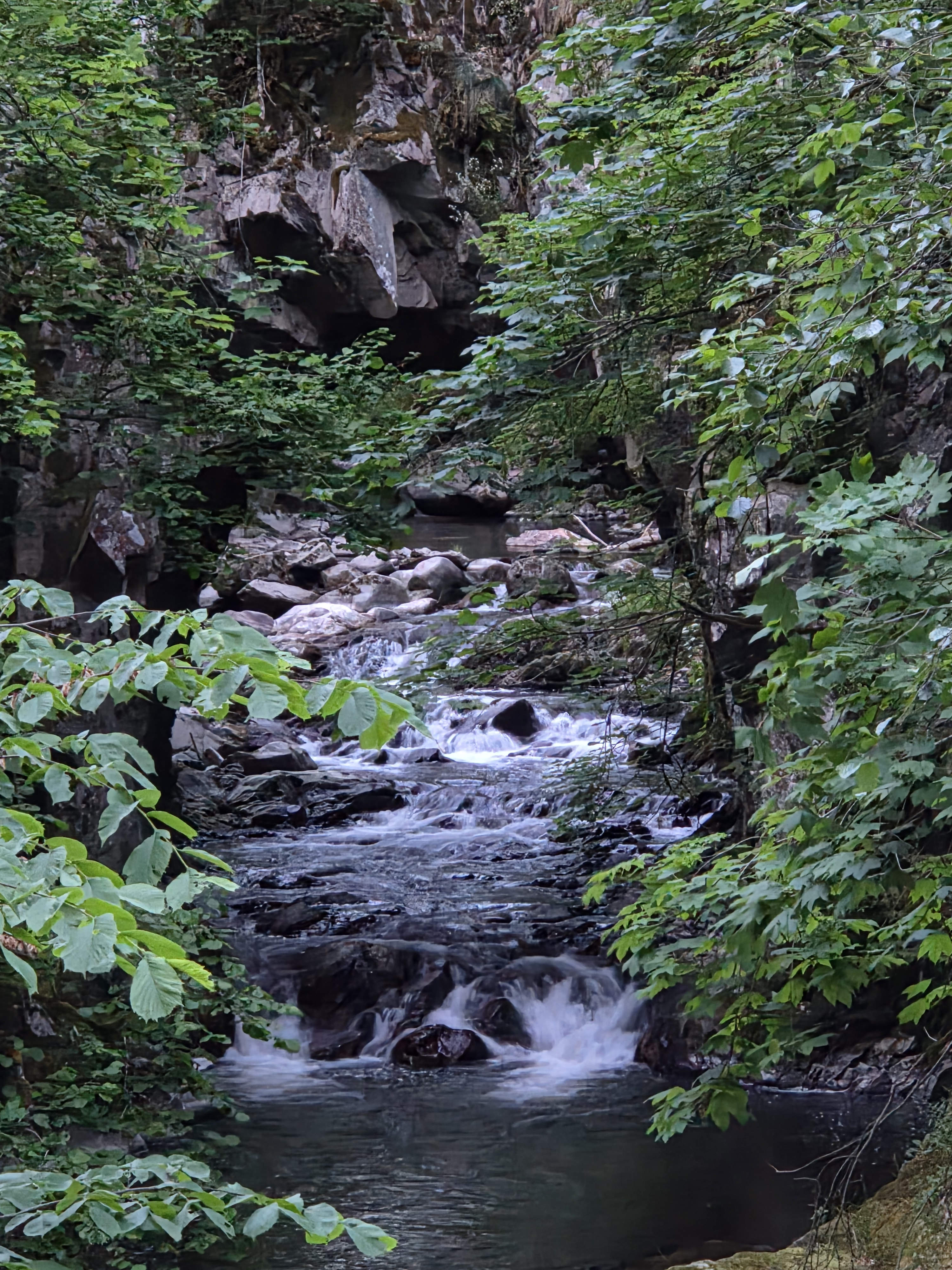
Der Felstunnel. Laut DKV-Führer der einzige natürliche Felstunnel in Deutschland. Hier zwei Bilder, die einen grundsätzlichen Eindruck zur Größe und Fahrbarkeit vermitteln. (Hier deutlich unter der Befahrbarkeitsgrenze...)
 • #7360 • 02.06.2026 12:52
Schlücht (DE), Riedersteg - Witznau
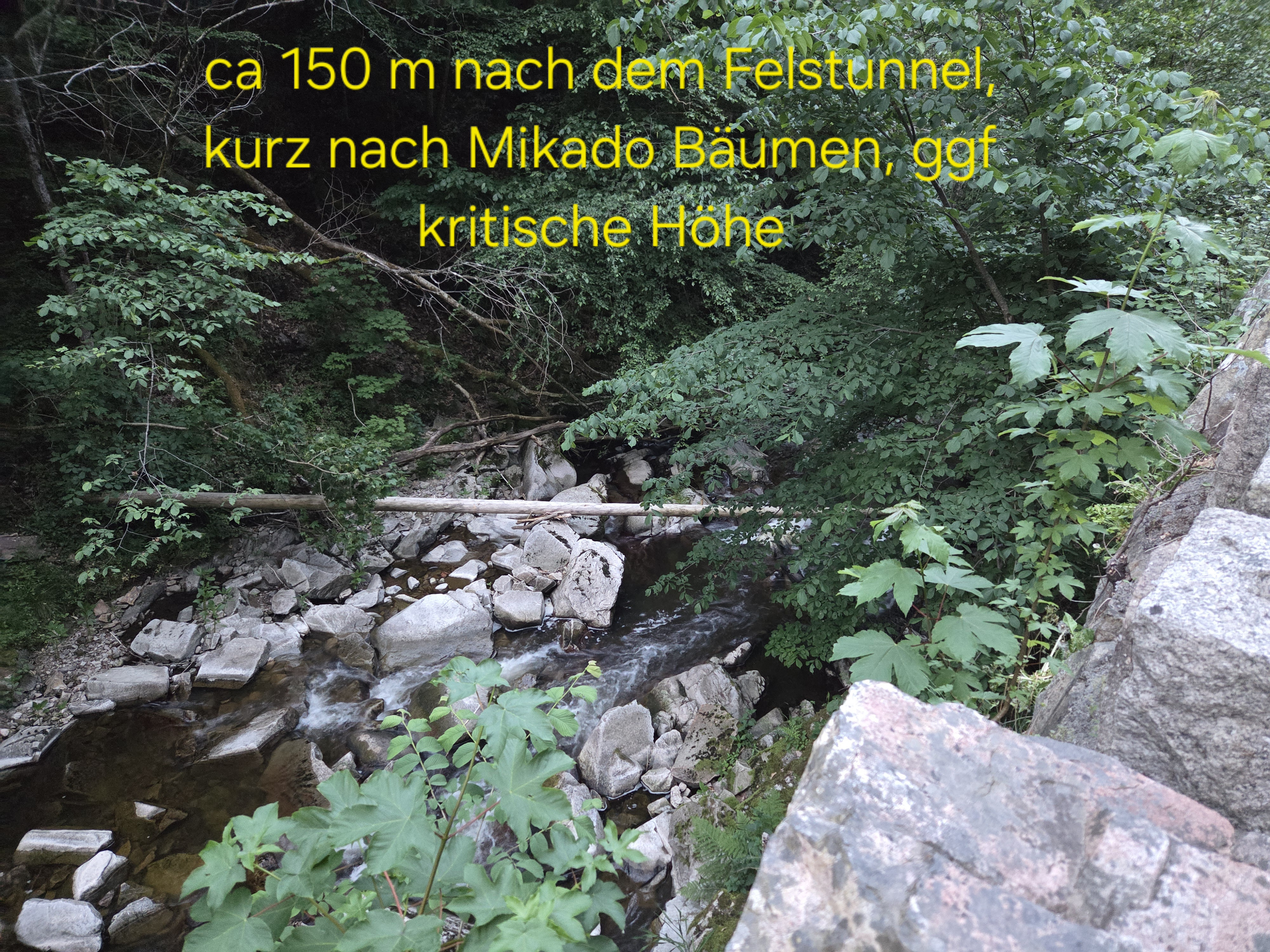
Gefahr vorübergehendEvt kritische Bäume unterhalb des Felstunnels. Von der Straße aus gut einzusehen.

 • #7358 • 02.06.2026 12:45
Rhône / Rotten (CH), Susten - Sierre
Fahrverbot
Die Befahrung des Pfynwaldes ist wieder mit Bewilligung gestattet. Eine Jahresbewilligung durch das Amt kostet SFR 380.- / Geführte oder begleitete Fahrten mit Kajak Packraft Kanadier wird durch Swiss Packraft oder Kanuschule Schweiz angeboten.ACHTUNG Ranger kontrollieren die Ein- und Ausbootstellen jederzeit.
• #7356 • 02.06.2026 12:16Seite: 1 2 3 4 5 6 7 8 9 10 11 12 . . . 284 285 286
nach oben