Rivermap
HomeThe Map
List View
Befahrbarkeit
English Summary
Karte Einbetten
Systemstatus
Kontakt und Team
Datenlieferanten
Contributor Agreement
The RCSD
Public licenses
Rivermap Japan
![]() "Rivermap Supporter" Group
"Rivermap Supporter" Group
Flusshinweise
Als Grundlage dient wenn immer möglich ein Flussführer.
Morača: Middle
II-III 0 km

Morača @ Pernica 78 cm @ 14.05.2026 12:00
? | ? cm
Resultate 1 - 6 von 6
Info
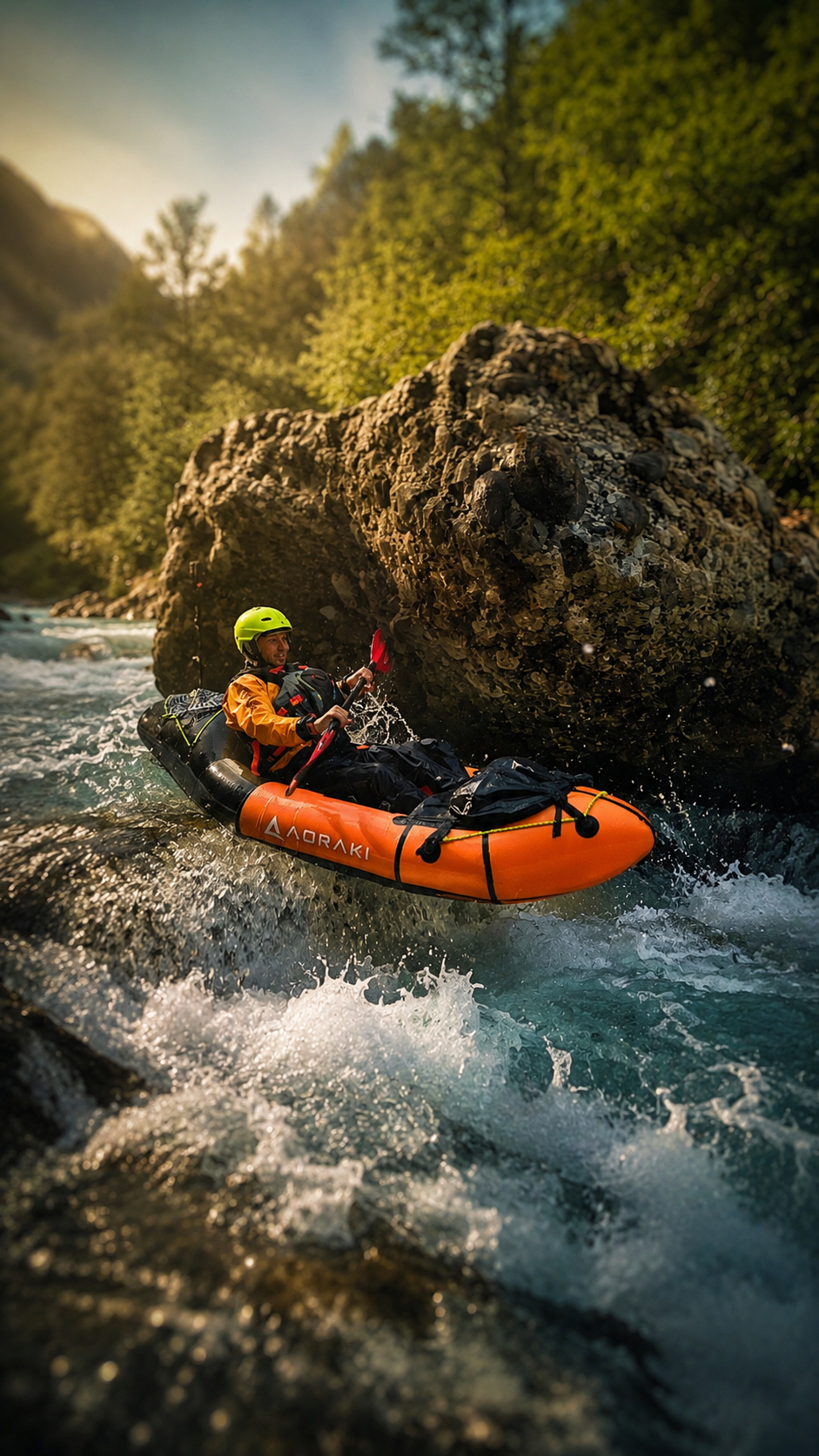
The Morača River often lives in the shadow of Montenegro's most famous canyon river, the Tara. Yet for whitewater enthusiasts, it has very little to envy. While the Tara may win in terms of sheer canyon scale and UNESCO fame, the Morača arguably offers more continuous and engaging rapids, making it one of the most exciting rivers in the country for paddlers seeking action rather than sightseeing alone.
???? Video of the Morača River (RoWild):
https://www.youtube.com/watch?v=VRfK9cfPYdI
???? Detailed guide for this specific section:
https://blog.packrafting.cat/rio-moraca-packraft-montenegro
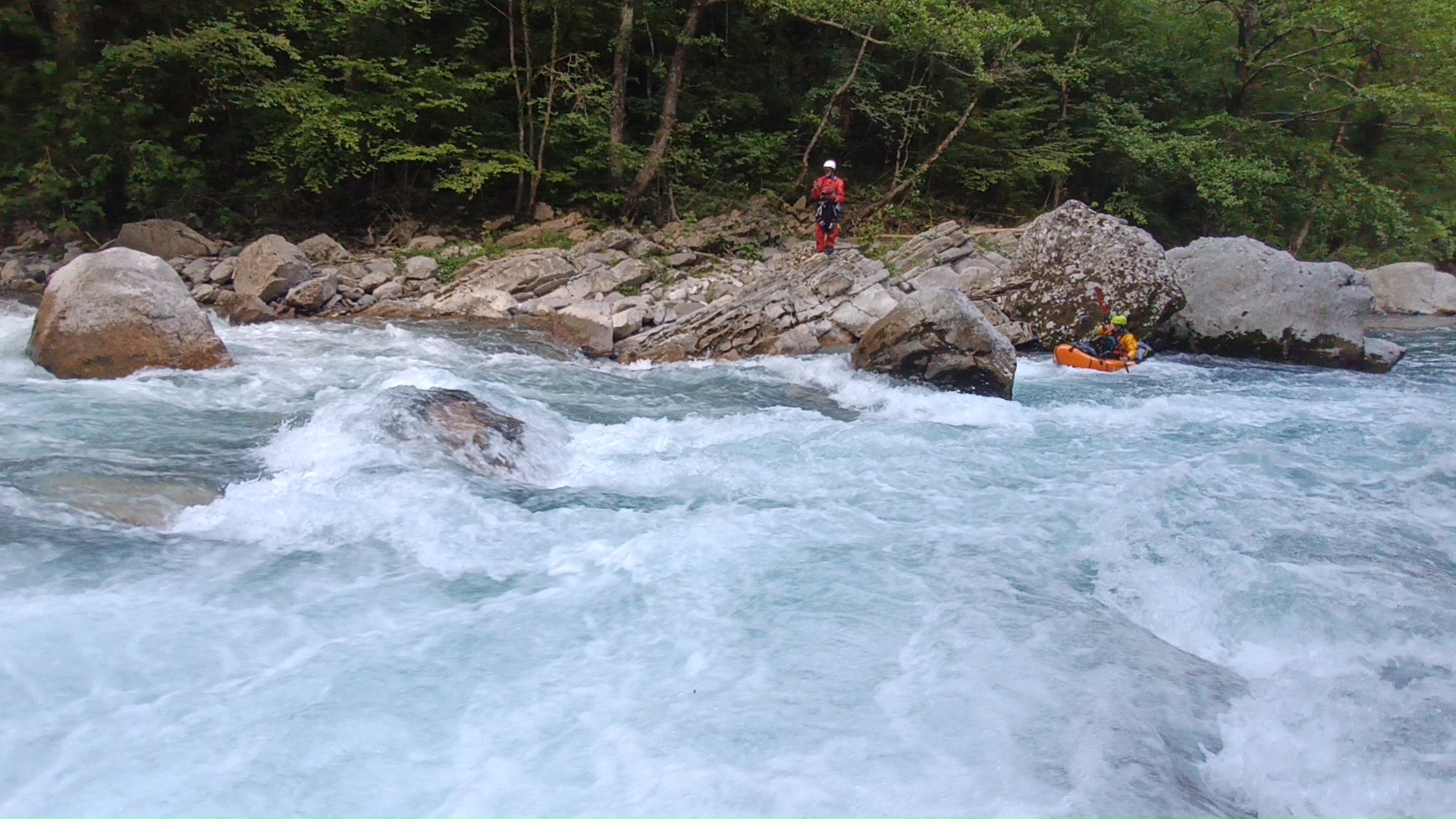
Among the different sections of the river, the Middle Morača is our favourite. It is a relatively short run, but what it lacks in length it more than makes up for in intensity. The river quickly drops into a succession of technical rapids, powerful currents and fun manoeuvres that keep paddlers engaged from start to finish. If you're looking for a spicy descent, this is the section to choose.
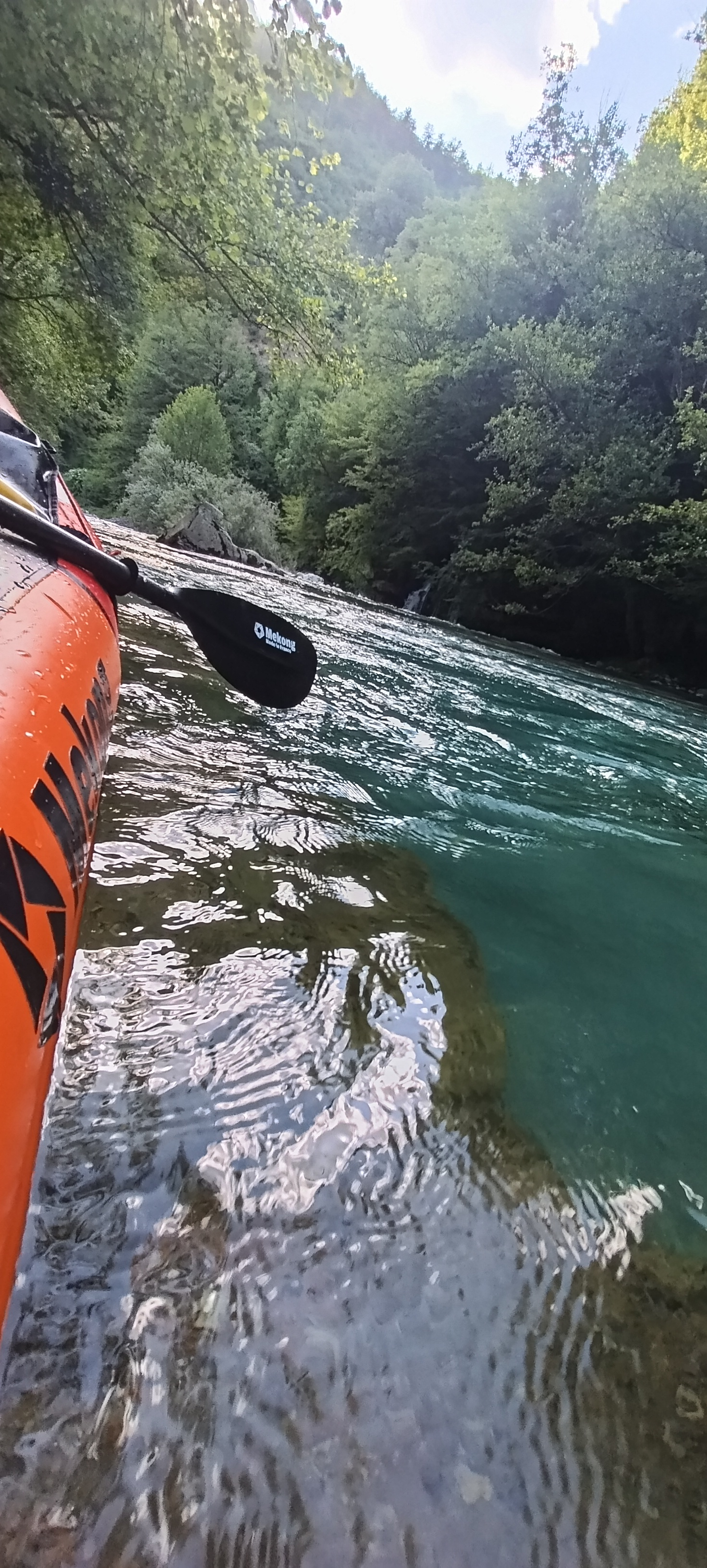
The canyon itself is spectacular, with steep limestone walls, emerald-green water and a feeling of wilderness that rivals many of the better-known rivers in the Balkans. Combined with reliable flows and easy access, the Morača has become a favourite among kayakers and packrafters looking for high-quality whitewater.
????♂️ The Morača River is also included in our Packraft Balkans Tour 2026, where it provides a perfect contrast to the more scenic and remote descents of the Tara and Komarnica. While those rivers are all about wilderness and giant canyons, the Morača delivers some of the most entertaining whitewater of the entire trip.
https://blog.packrafting.cat/packraft-balcans-tour-2026
???? Detailed river information, logistics, access points, maps, water levels and trip reports:
https://go.packrafting.cat/app
For paddlers who enjoy technical manoeuvring, continuous rapids and dynamic whitewater, the Middle Morača is one of the hidden gems of the Balkans and a section we happily return to whenever we're in Montenegro.
???? Video of the Morača River (RoWild):
https://www.youtube.com/watch?v=VRfK9cfPYdI
???? Detailed guide for this specific section:
https://blog.packrafting.cat/rio-moraca-packraft-montenegro
Among the different sections of the river, the Middle Morača is our favourite. It is a relatively short run, but what it lacks in length it more than makes up for in intensity. The river quickly drops into a succession of technical rapids, powerful currents and fun manoeuvres that keep paddlers engaged from start to finish. If you're looking for a spicy descent, this is the section to choose.
The canyon itself is spectacular, with steep limestone walls, emerald-green water and a feeling of wilderness that rivals many of the better-known rivers in the Balkans. Combined with reliable flows and easy access, the Morača has become a favourite among kayakers and packrafters looking for high-quality whitewater.
????♂️ The Morača River is also included in our Packraft Balkans Tour 2026, where it provides a perfect contrast to the more scenic and remote descents of the Tara and Komarnica. While those rivers are all about wilderness and giant canyons, the Morača delivers some of the most entertaining whitewater of the entire trip.
https://blog.packrafting.cat/packraft-balcans-tour-2026
???? Detailed river information, logistics, access points, maps, water levels and trip reports:
https://go.packrafting.cat/app
For paddlers who enjoy technical manoeuvring, continuous rapids and dynamic whitewater, the Middle Morača is one of the hidden gems of the Balkans and a section we happily return to whenever we're in Montenegro.
 • #7415 • 22.06.2026 11:52
Befahrbarkeit
Done at 28/5/2026 with 67cm at bridge level just before Mrtvica river. Amazing river more in spanish with maps, fotos and topoguides at https://blog.packrafting.cat/rio-moraca-packraft-montenegro Packrafting.cat: https://blog.packrafting.cat
• #7364 • 03.06.2026 14:22Info
I paddled this section on April 9th 2025 at 67cm. We put in and took out at the same locations like last year. We portaged the dam at 42.7297584, 19.3804558, which has sharp iron rods sticking out of it and the line on the left is siphoned.
 • #6497 • 23.04.2025 20:59
Bewertung NW-MW-HW
Mini 70 - Medium 100 - high 130
• #6090 • 21.06.2024 13:59Bewertung NW-MW-HW
Minimal level should probably be at 70cm
• #5820 • 18.04.2024 21:36Info
I paddled this section on April 9-th 2024 at a level of 80cm. A lot of good and clean WW3, maybe some bordering at 4 at higher levels. We put in a bit higher up at 42.773972, 19.391833, which adds a beautiful extra section passing below the monastery and its waterfall pouring in from an overhanging rock to the right. The put-in required walking through some grassland below the transformer station at the road and finding a path that leads down to the river. We took out river right at 42.703611,19.376722 at the confluence with the Sievernica river, where there is an easy access to the road above. Don't miss this exit because the river goes into the canyon section afterwards without further exits.
The section leads mostly through a dense forest, so watch out for wood in the river. Otherwise the section has far less undercuts and siphons than the lower Moraca.
The section leads mostly through a dense forest, so watch out for wood in the river. Otherwise the section has far less undercuts and siphons than the lower Moraca.
 • #5818 • 18.04.2024 21:16