Rivermap
HomeThe Map
List View


 Flusshinweise
Befahrbarkeit
English Summary
Karte Einbetten
Systemstatus
Kontakt und Team
Datenlieferanten
Contributor Agreement
The RCSD
Public licenses
Rivermap Japan
 "Rivermap Supporter" Group
Flusshinweise
Als Grundlage dient wenn immer möglich ein Flussführer.
 RSS-Feed
abonnieren und nichts verpassen.
RSS-Feed
abonnieren und nichts verpassen.
Seite: 1 2 3 4 5 . . . 32 33 34 35 36 37 38 . . . 284 285 286
Resultate 681 - 700 von 5719
Ruetz (AT), Neustift - Fulpmes
 Gefahr vorübergehend
Upstream from here https://maps.app.goo.gl/VqT44fEzKna2usTT9?g_st=ac constructionworks are going on. Diggers on the riverbank. Passage may be obstructed.
 • #6765 • 18.07.2025 13:15
Berninabach (CH), Morteratsch - Pontresina
Info
Einstieg: 46.4529157, 9.9404135
Ausstieg: 46.4812384, 9.9149117
(bei viel Wasser nur Mikrokehrwasser)
Ausstieg: 46.4812384, 9.9149117
(bei viel Wasser nur Mikrokehrwasser)
• #6764 • 17.07.2025 09:52Verdon (FR), Grand Canyon (Point Sublime - Lac de Sainte Croix)
Info
in July/August Tuesday is a guaranteed day when EDF releases water (typ. 10-13m3/s = low but no rock contact). Friday is NOT guaranteed anymore as it was in the past. Check with the local raft companies to find out if Friday or maybe another day gets a release in that week.
• #6763 • 16.07.2025 22:48Verdon (FR), Grand Canyon (Point Sublime - Lac de Sainte Croix)
Befahrbarkeit
ran 12.7.25. except after couloir Samson no trees in the lines. L'imbut is good to go. we had 13m3/s.
• #6762 • 16.07.2025 22:43Verdon (FR), Grand Canyon (Point Sublime - Lac de Sainte Croix)
Gefahr vorübergehendTrees accross the river shortly after Couloir Samson at the end of a pool. well visible, easy to portage on the right. ran on 12.7.2025
• #6761 • 16.07.2025 22:38Ubaye (FR), Infrans du bas (Le Lauzet - Le Lac)
Befahrbarkeit
the lower half of the class V section got easier and is now class IV at 13m3/s. there is a nice path to portage the first half if you walk up on the gravel at the beginning. ran on 10.7.2025
• #6760 • 16.07.2025 22:35Gyr (FR), St.Antoine - Vallouise
Bewertung NW-MW-HW
60cm (level with the concrete ledge) on the stick gauge at the put-in bridge is a lower medium level. expect some bouncy rocks in the steeper sections.
• #6759 • 16.07.2025 22:29Durance (FR), Malafosse (La Vachette - Le Fontenil)
Info
water diversion until ca. 400m before the bridge in Fontenil, before the re-entry the riverbed is dry unless there is spillover due to big rainfalls or big snowmelt
• #6758 • 16.07.2025 22:25Durance (FR), Gorges du Pont d'Asfeld (Le Fontenil - Briançon)
Info
water diversion ca. 400m after the Bridge in Fontenil, after that the riverbed is dry unless there is spillover due to big rainfalls or big snowmelt
• #6757 • 16.07.2025 22:23Inn (CH), Scuoler Strecke
Flash!
Paddle Kober lost at put-in after Ardez portage
078 847 54 99
078 847 54 99
• #6756 • 16.07.2025 17:01Inn (CH), Ardez
Flash!
Paddle Kober lost at put-in after Ardez portage
078 847 54 99
078 847 54 99
• #6755 • 16.07.2025 17:00Inn (CH), Giarsun
Divers
Please change the input to the recommended place by Swiss Canoe. There is no proper place to leave a car at the input
• #6752 • 13.07.2025 21:08Landquart (CH), Serneus - Küblis
Info
Unfallbericht obere Landquart 3.6.25

 • #6751 • 13.07.2025 10:40
Loisach (AT), Obere
Gefahr vorübergehendRan on 8-7-25 at 140cm, one tree to portage in the forest section
• #6750 • 12.07.2025 07:53Berninabach (CH), Morteratsch - Pontresina
Info
Für eine strecke WW II-III stimmt die position vom Einstieg / Ausstieg nicht. In Pontresina könnte ein zu später ausstieg tödlich enden. Bitte korrigieren! Eine Hinweis Tafel auf die Gefahr wäre meiner Meinung nach angebracht.
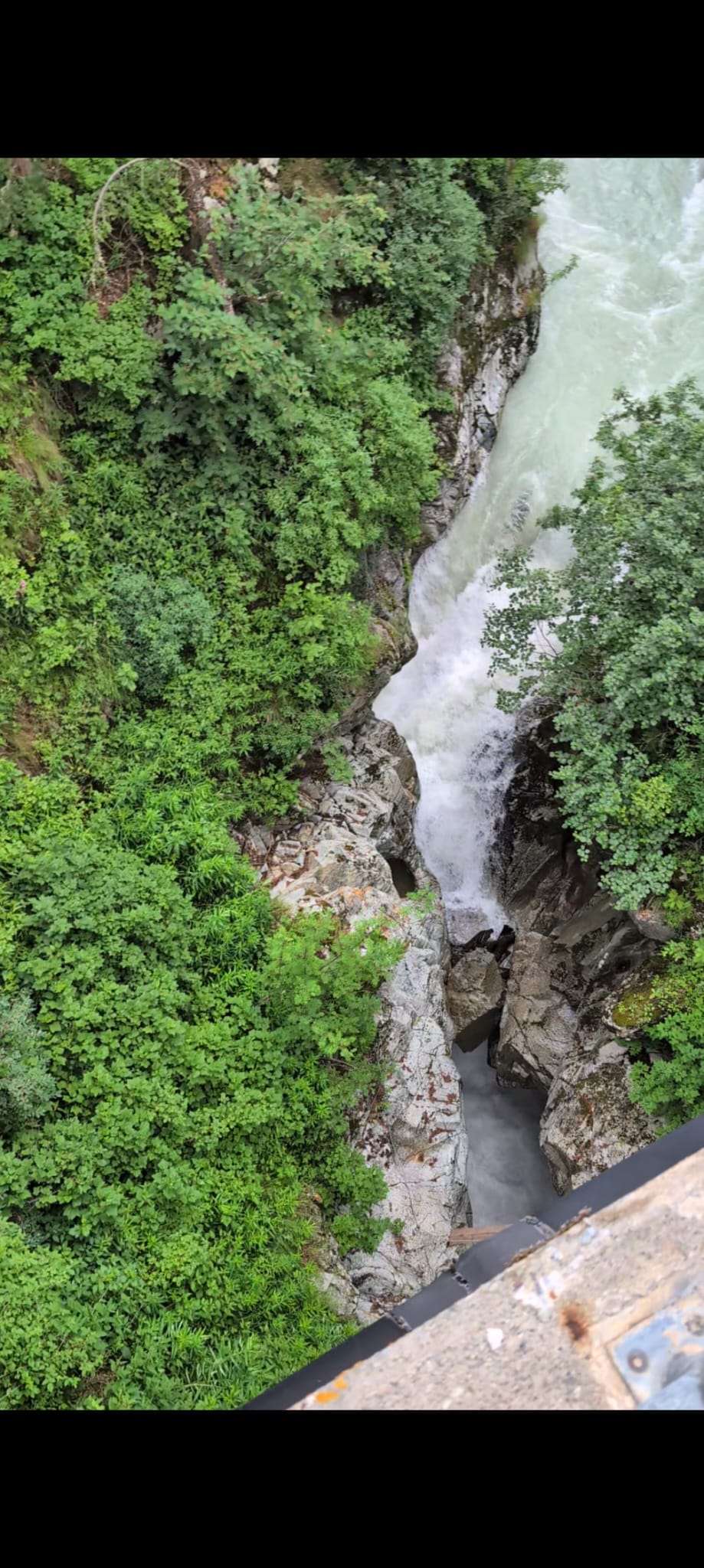 • #6749 • 10.07.2025 15:36
Inn (AT), Imsterschlucht (Imst - Haiming)
Info
• #6748 • 10.07.2025 10:50Gyr (FR), St.Antoine - Vallouise
Befahrbarkeit
run on 8.7.25 at lower level. tree across whole river not far from put in, runnable at very right. might be dangerous at very low level.
in middle section where river splits into two arms some wood close to where arms rejoin, avoid middle.
in middle section where river splits into two arms some wood close to where arms rejoin, avoid middle.
• #6747 • 09.07.2025 22:27Etna (NO), Brendabrua - Hestkinn
Etna (NO), Etnesenn - Brendabrua
Skogsåa (NO), Sønnlandsvatnet - Brenneveltåsen
Seite: 1 2 3 4 5 . . . 32 33 34 35 36 37 38 . . . 284 285 286
nach oben