Rivermap
HomeThe Map
List View


 Flusshinweise
Befahrbarkeit
English Summary
Karte Einbetten
Systemstatus
Kontakt und Team
Datenlieferanten
Contributor Agreement
The RCSD
Public licenses
Rivermap Japan
 "Rivermap Supporter" Group
Flusshinweise
Als Grundlage dient wenn immer möglich ein Flussführer.
 RSS-Feed
abonnieren und nichts verpassen.
RSS-Feed
abonnieren und nichts verpassen.
Seite: 1 2 3 4 5 . . . 171 172 173 174 175 176 177 . . . 285 286 287
Resultate 3461 - 3480 von 5721
Lonza (CH), Kühmad - Minigolf Wiler
Befahrbarkeit
Befahren am 30.6.18 ab Blatten bei 16-17m3. Rieder-Schnelle hat keine Bäume drin. Achtung rapid danach hat üble steine. Sonst Alles freie fahrt bis stausee.
 • #2988 • 30.06.2018 23:13
Inn (CH), Scuoler Strecke
Info
Bei 150 Kubik wird es echt recht wuchtig und vorallem kontinuierlich.. alles machbar aber vor den beiden „IVer“-Stellen anhalten ist nicht mehr möglich. Am besten bei der Anfahrt ansehen. Besser nicht schwimmen gehen!
• #2987 • 30.06.2018 21:38Inn (CH), Giarsun
 Gefahr vorübergehend
Baum in der mittleren Einfahrt. schlecht sichtbar.
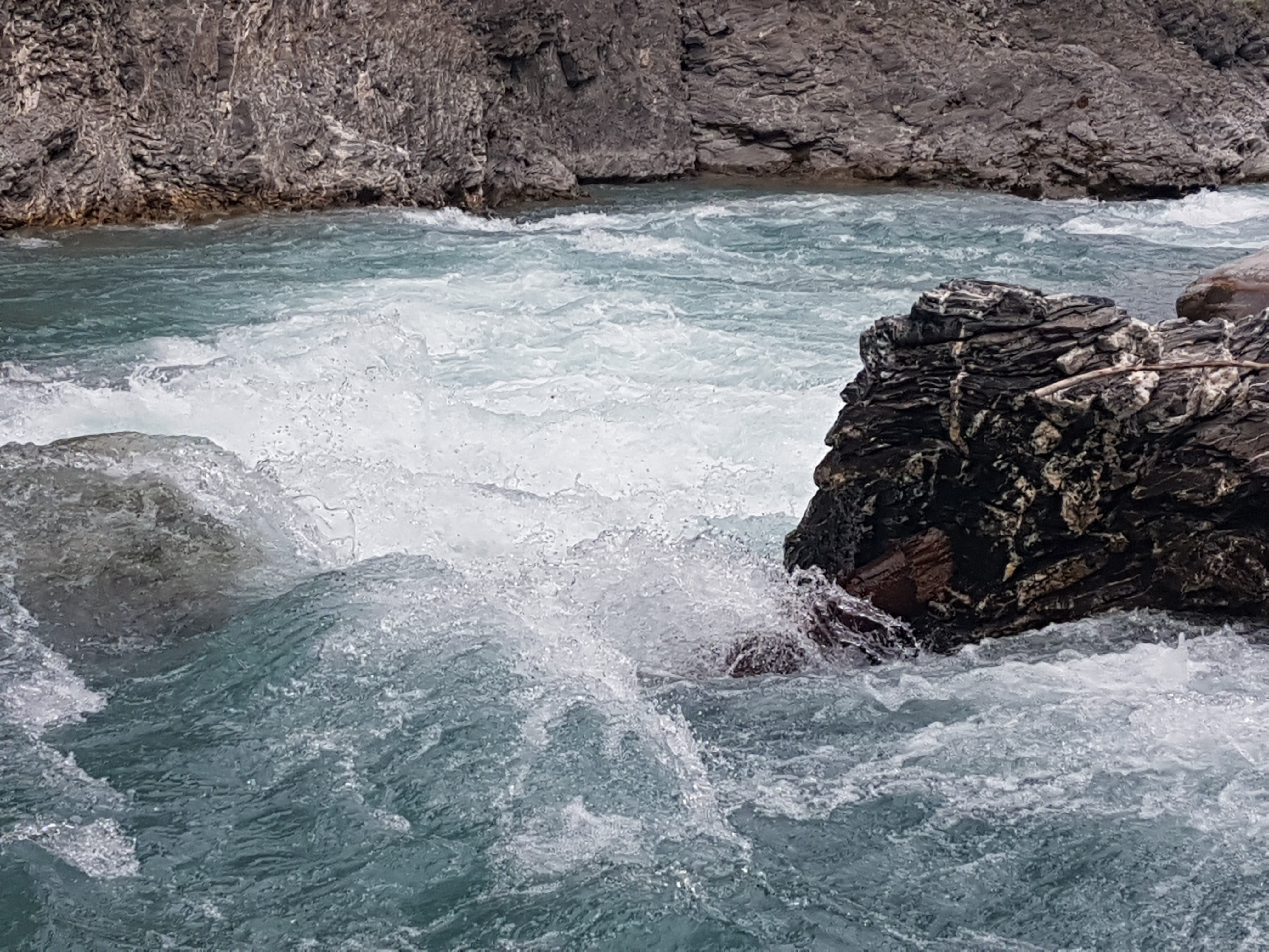
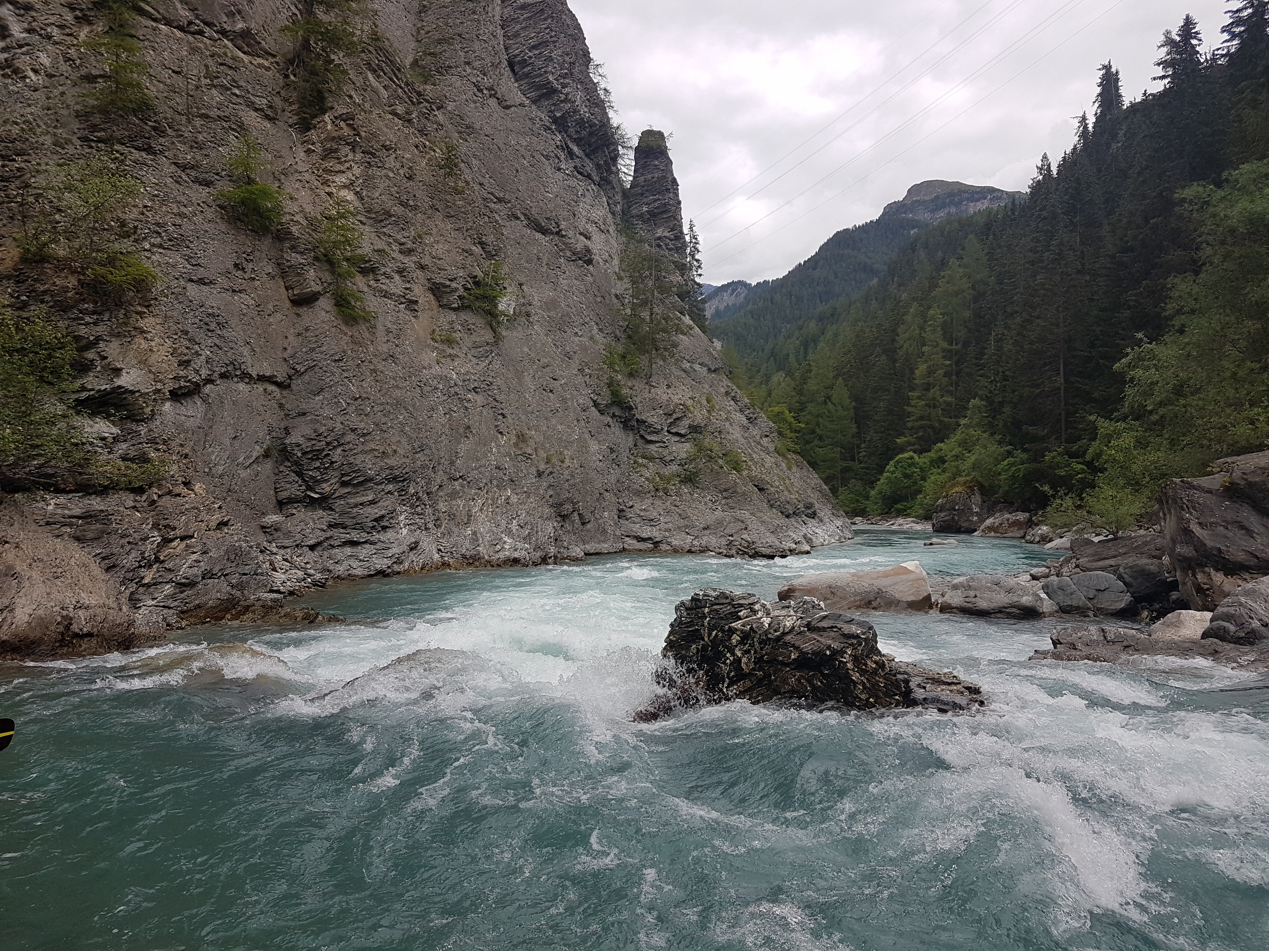 • #2985 • 29.06.2018 22:07
Rettenbach (AT), Oberlauf (Kanonenrohr)
Gefahr vorübergehendOberteil noch immer stark verholzt jetzt aber auch wieder ab Pegel (Standardstrecke) Bäume drinnen. Vorsicht!
Source: https://www.facebook.com/groups/145456199323593/permalink/326446924557852/
Source: https://www.facebook.com/groups/145456199323593/permalink/326446924557852/
• #2983 • 26.06.2018 09:37Glueyre (FR), Pont de Champlovier - Pont submersible
Inn (CH), Brail Schlucht
Bewertung NW-MW-HW
Paddled at 4.8 m³/s. Navigable. Rocky with tight passages in the gorge. One probable portage.
• #2980 • 23.06.2018 22:00Inn (CH), Brail Schlucht
Gefahr aufgehoben
Clear run
• #2979 • 23.06.2018 21:04Dranse (CH), Sembrancher - Martigny-Croix
Bewertung NW-MW-HW
Vorschlag Anpassung HW auf 30 m3. Oberhalb 25 m3 wirds erst richtig gut und hat noch viele Kehrwasser.
• #2978 • 23.06.2018 10:28Dranse (CH), Sembrancher - Martigny-Croix
Gefahr vorübergehend2 Bäume, einer im oberen Teil vor Bovernier, ein zweiter in der Schlucht nach Bovernier. Können beide umfahren werden.
• #2977 • 23.06.2018 10:27Aare (CH), Aareschlucht
Info
Some useful comments from facebook thread about this section:
Fabian Simon: "I can confirm the WW grade class III. We paddled it one year ago after a long day of kayaking as an evening run and were surprised that it was that easy.
But if you paddle it with more water, the river will not be the same because in the narrow gorge, some cubics can change the height of the water really fast (also because of some hydroelectric plants at the Grimselpass more upstream).
The best would be scouting the whole section from the tourist path in advance, then you can be sure that there is no tree or similar in there ;)
Regards Fabian"
An Di: "many years ago we paddled the Aareschlucht with about 50-60cbm. I´wouldn´t do this one more time..., a friend lost his boat in a undercut, 3months later it was found in the Brienzer See. On high level the narrow gorge is very dangerous, at low level it´s really WWIII. Don´t forget that just at the beginning of the Gorge is a powerstation... the flow in Innertkirchen is not the flow in the Gorge!"
Fabian Simon: "I can confirm the WW grade class III. We paddled it one year ago after a long day of kayaking as an evening run and were surprised that it was that easy.
But if you paddle it with more water, the river will not be the same because in the narrow gorge, some cubics can change the height of the water really fast (also because of some hydroelectric plants at the Grimselpass more upstream).
The best would be scouting the whole section from the tourist path in advance, then you can be sure that there is no tree or similar in there ;)
Regards Fabian"
An Di: "many years ago we paddled the Aareschlucht with about 50-60cbm. I´wouldn´t do this one more time..., a friend lost his boat in a undercut, 3months later it was found in the Brienzer See. On high level the narrow gorge is very dangerous, at low level it´s really WWIII. Don´t forget that just at the beginning of the Gorge is a powerstation... the flow in Innertkirchen is not the flow in the Gorge!"
• #2976 • 22.06.2018 10:11Gurk (AT), Gurkklamm
Bewertung NW-MW-HW
Es kann sein, dass sich der Pegel in Weitensfeld verschoben hat. Bitte um Info, ob die Kalibrierung noch stimmt.
• #2973 • 20.06.2018 11:04Gurk (AT), Enge Gurk
Bewertung NW-MW-HW
Es kann sein, dass sich der Pegel in Weitensfeld verschoben hat. Bitte um Info, ob die Kalibrierung noch stimmt.
• #2972 • 20.06.2018 11:04Soana (IT), Stroba - Pont Canavese
Divers
Take out slightly after the first bridge at Pont Canavese, on the right where you can see some plants on the bank... Don t go over the second bridge near the dam cause there lie only private gardens and you ll find yourselves messing up with the owners.
• #2970 • 18.06.2018 15:39Gronda (IT), 1.5km sopra Rassa - Rassa
Ruetz (AT), Ruetzschlucht
Gefahr aufgehoben
Baum ist weg
• #2967 • 17.06.2018 22:53Fieberbrunner Ache (AT), Standardstrecke
Bewertung NW-MW-HW
Heute (Online Pegel 102cm) waren wir vor Ort. Viel zu wenig um überhaupt an Boot fahren zu denken. Bei Riverapp ist neben dem hier auch dargestellten ein Ersatz Pegel, der heute 42 cm angezeigt hat, das erscheint mir ehr realistisch.
• #2966 • 17.06.2018 21:28Birs (CH), Naturschutzgebiet Reinacher Heide - Birskopf
Birs (CH), Welle Joggeli, Basel
Info
If the Soyhières gauge is rising through 100 cumecs, this is an approximate indicator that Münchenstein, Hofmatt could reach 120 cumecs in about 3 hours.
https://www.hydrodaten.admin.ch/en/2478.html
For a BAFU alarm send an SMS to number 9234, with the message body
START Q 2478 ALARM 100.0
https://www.bafu.admin.ch/bafu/de/home/themen/wasser/zustand/daten/messwerte-zum-thema-wasser-beziehen/aktuelle-hydrologische-daten-beziehen.html
https://www.hydrodaten.admin.ch/en/2478.html
For a BAFU alarm send an SMS to number 9234, with the message body
START Q 2478 ALARM 100.0
https://www.bafu.admin.ch/bafu/de/home/themen/wasser/zustand/daten/messwerte-zum-thema-wasser-beziehen/aktuelle-hydrologische-daten-beziehen.html
• #2964 • 15.06.2018 08:54Toce (IT), Crodo - Pontemaglio
Info
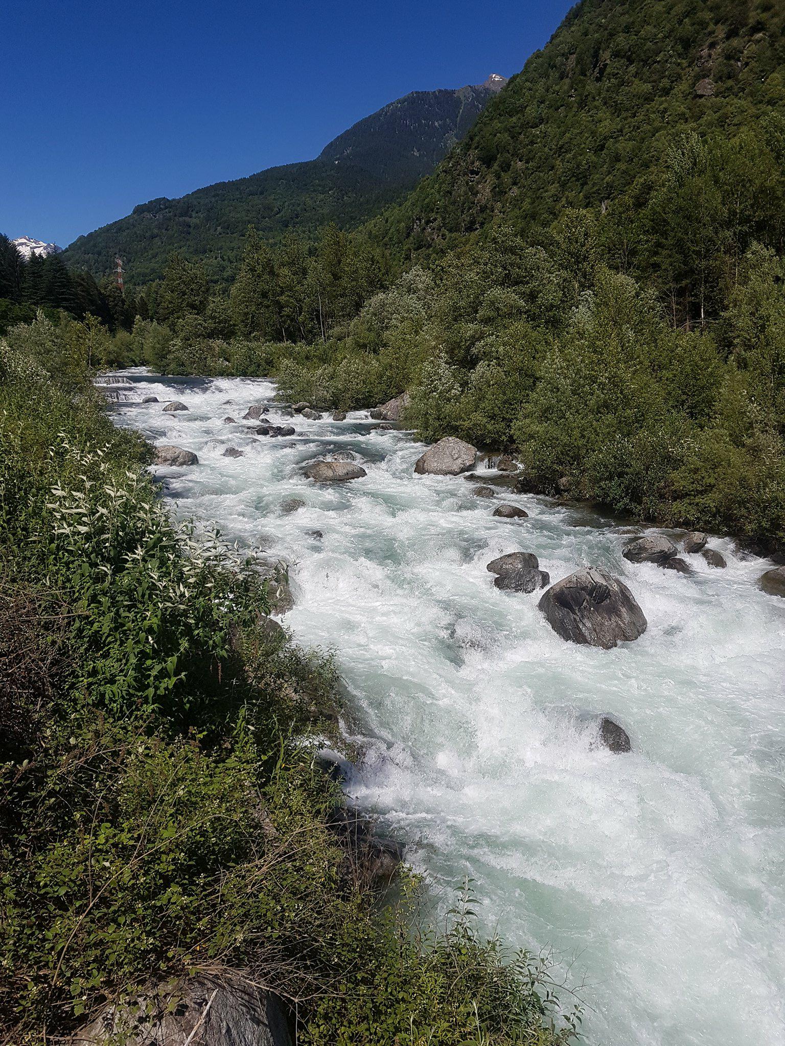
We did this section yesterday (14 June 2018), it was great, some nice, busy grade 4 rapids, some shallow grade 3 boogie and a grade 5 feature. The water level was around 90cm with a spike up to about 110cm.
Its important to know that the river can rise rapidly without warning, this happened to us, luckily at the time we were on the bridge scouting the grade 5 feature, the river came up significantly within a couple of minutes, pretty scary if you are in your boat in the middle of the river above a rapid (especially the grade 5 rapid!), so be aware of this and make sure you pull your boat up high when you get out to scout things.
There are many small islands covered in trees on the river, and multiple times the river splits into 2,3 or 4 channels around these islands so its hard to know which channel to take, we got it wrong a couple of times and had to fight through the trees (not easy its very thick) to find a better way. You must also be careful of the water flowing into these trees.
We put in and took off in slightly different places as stated in the info, our put in was 46.231436, 8.327333, and our take out was 46.172427, 8.315399, both places are easy to find, suitable parking and easy access to the river and the take out bridge is easily seen from the river.
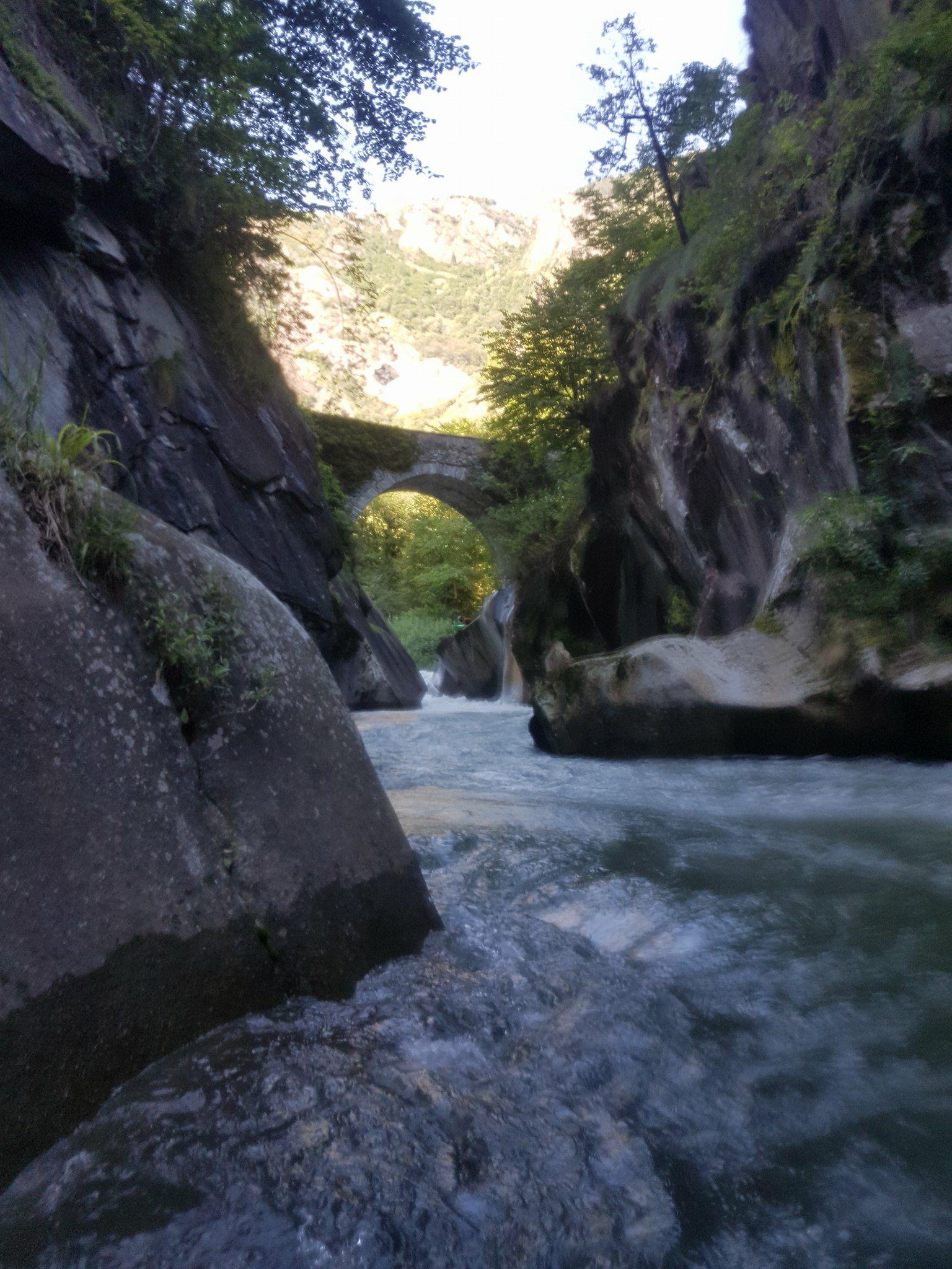
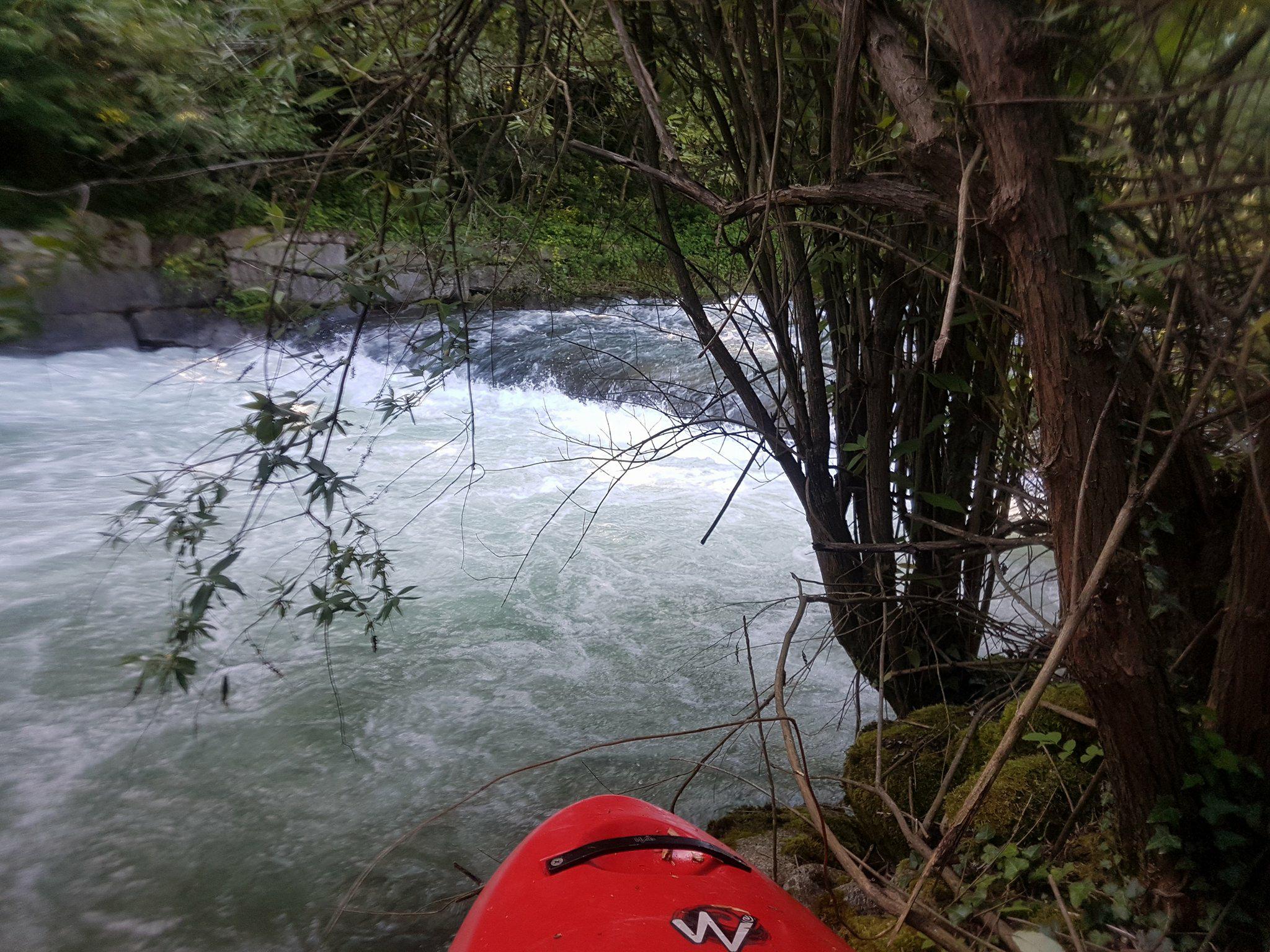
The river starts nicely with some grade 3/4 fun, all pretty clean and fun we just boat scouted and eddy hopped at this water level. Then there is a long grade 4 rapid that starts at a partial concrete weir, we could stand on the weir on river right and climb up on the wall to scout it, the water goes down a big tongue on the left but at the flow we had (90cm) it wasn't safe to run so we climbed below the weir and ran the rest of the rapid. There are a few man made weirs on the river so be careful whenever you see a horizon line. After that it became more grade 2/3 and shallow for a long time and many tree islands to navigate. Immediately after a tree island you see a stone arch bridge and directly under this is the grade 5 feature, you can easily look at it when you drive the shuttle before getting on, its location is 46.182408, 8.323171, we walked around it and seal-launched back in from river left under the bridge (thats pretty cool) into a beautiful gorge, its only 150m long and no more big rapids in it. After the gorge there is another tree island we went right but there is a small, 1 foot high (I think natural) weir towards the bottom that is hard to see, we managed to stop right above it and portage it in the tree island (not fun), if you stayed straight and kept your nose up with speed I would say you would get straight over it no problem but the boil line was about 2 or 3 meters from the weir so it would defiantly hold you in there in your boat for the rest of the day so treat it with caution, or take the left channel around the tree island.
Hope that info helps you, its a great river, enjoy
The river starts really nicely with
Its important to know that the river can rise rapidly without warning, this happened to us, luckily at the time we were on the bridge scouting the grade 5 feature, the river came up significantly within a couple of minutes, pretty scary if you are in your boat in the middle of the river above a rapid (especially the grade 5 rapid!), so be aware of this and make sure you pull your boat up high when you get out to scout things.
There are many small islands covered in trees on the river, and multiple times the river splits into 2,3 or 4 channels around these islands so its hard to know which channel to take, we got it wrong a couple of times and had to fight through the trees (not easy its very thick) to find a better way. You must also be careful of the water flowing into these trees.
We put in and took off in slightly different places as stated in the info, our put in was 46.231436, 8.327333, and our take out was 46.172427, 8.315399, both places are easy to find, suitable parking and easy access to the river and the take out bridge is easily seen from the river.
The river starts nicely with some grade 3/4 fun, all pretty clean and fun we just boat scouted and eddy hopped at this water level. Then there is a long grade 4 rapid that starts at a partial concrete weir, we could stand on the weir on river right and climb up on the wall to scout it, the water goes down a big tongue on the left but at the flow we had (90cm) it wasn't safe to run so we climbed below the weir and ran the rest of the rapid. There are a few man made weirs on the river so be careful whenever you see a horizon line. After that it became more grade 2/3 and shallow for a long time and many tree islands to navigate. Immediately after a tree island you see a stone arch bridge and directly under this is the grade 5 feature, you can easily look at it when you drive the shuttle before getting on, its location is 46.182408, 8.323171, we walked around it and seal-launched back in from river left under the bridge (thats pretty cool) into a beautiful gorge, its only 150m long and no more big rapids in it. After the gorge there is another tree island we went right but there is a small, 1 foot high (I think natural) weir towards the bottom that is hard to see, we managed to stop right above it and portage it in the tree island (not fun), if you stayed straight and kept your nose up with speed I would say you would get straight over it no problem but the boil line was about 2 or 3 meters from the weir so it would defiantly hold you in there in your boat for the rest of the day so treat it with caution, or take the left channel around the tree island.
Hope that info helps you, its a great river, enjoy
The river starts really nicely with
 • #2963 • 15.06.2018 08:53
Birs (CH), Welle Joggeli, Basel
Bewertung NW-MW-HW
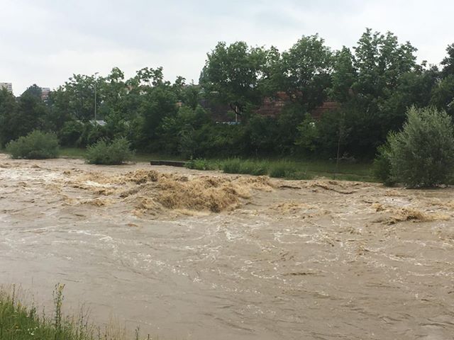
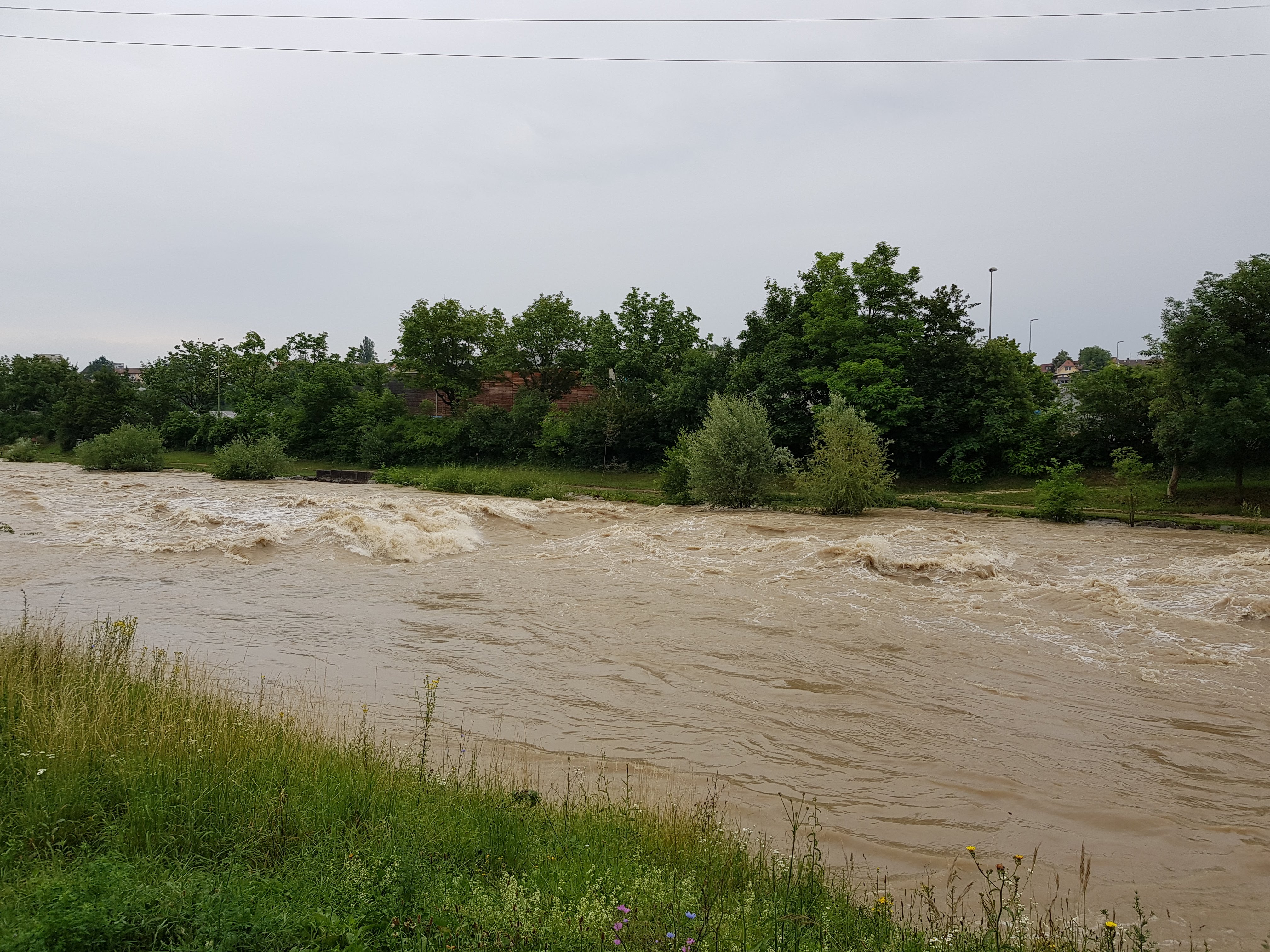
13.06.2018
High of 185 m³/s, dropping through the day.
The callibration worked perfectly.
High of 185 m³/s, dropping through the day.
The callibration worked perfectly.
 • #2962 • 15.06.2018 08:25
Seite: 1 2 3 4 5 . . . 171 172 173 174 175 176 177 . . . 285 286 287
nach oben