Rivermap
HomeThe Map
List View


 Flusshinweise
Befahrbarkeit
English Summary
Karte Einbetten
Systemstatus
Kontakt und Team
Datenlieferanten
Contributor Agreement
The RCSD
Public licenses
Rivermap Japan
 "Rivermap Supporter" Group
Flusshinweise
Als Grundlage dient wenn immer möglich ein Flussführer.
 RSS-Feed
abonnieren und nichts verpassen.
RSS-Feed
abonnieren und nichts verpassen.
Seite: 1 2 3 4 5 . . . 127 128 129 130 131 132 133 . . . 284 285 286
Resultate 2581 - 2600 von 5720
Lassing (AT), Klaus - Schloif
Info
Gestern bei 17m3/s befahren
alles frei
alles frei
 • #4288 • 14.05.2021 09:20
Aare (CH), Welle Scherzligenschleuse, Thun
Info
Bzgl parking:
(Link in #4242 ist defekt)
- Gut & Recht günstig & in der Nähe: SBB P+Rail Thun
https://maps.app.goo.gl/8NnvHBLDi7FZcz3S8
- noch näher sind: öffentliche Tiefgarage Schulhausstrasse 19a und Tiefgarage Manor ( Einfahrten gegenüber von einander)
https://maps.app.goo.gl/fXYJFQqQJq7CBTNH8
Happy surfing & boating.
(Link in #4242 ist defekt)
- Gut & Recht günstig & in der Nähe: SBB P+Rail Thun
https://maps.app.goo.gl/8NnvHBLDi7FZcz3S8
- noch näher sind: öffentliche Tiefgarage Schulhausstrasse 19a und Tiefgarage Manor ( Einfahrten gegenüber von einander)
https://maps.app.goo.gl/fXYJFQqQJq7CBTNH8
Happy surfing & boating.
• #4287 • 14.05.2021 09:12Ostrach (DE), Aueleklamm (E-Werk - Guferbrücke)
 Gefahr vorübergehend
Baum ließ sich in der dritten Stellen einwandfrei links bei 18 m3/s umfahren.
Schöne Klamm, jedoch nur drei interessante Stellen.
Schöne Klamm, jedoch nur drei interessante Stellen.
• #4286 • 14.05.2021 08:22Ostrach (DE), Aueleklamm (E-Werk - Guferbrücke)
Divers
Am Ausstieg ist ein kostenpflichtiger Parkplatz, der 10 € kostet. Günstigere Parkplätze flussab. Innerhalb des Orts gilt ein Parkverbot. Von dort aus trägt man die Straße hoch, welche für Autos gesperrt ist.
• #4285 • 14.05.2021 08:17Brenno (CH), Motto - Malvaglia
Befahrbarkeit
Paddled at 6.4 qm, which was fine.
• #4282 • 13.05.2021 22:37Landquart (CH), Serneus - Küblis
Gefahr vorübergehendEtwas fieser Baum von links unmittelbar nach der Stufe nach Einfluss Bach von rechts von Waldhof
Koordinaten
https://maps.app.goo.gl/D8XCg4KUbpxCQwt39
Koordinaten
https://maps.app.goo.gl/D8XCg4KUbpxCQwt39
 • #4281 • 13.05.2021 20:57
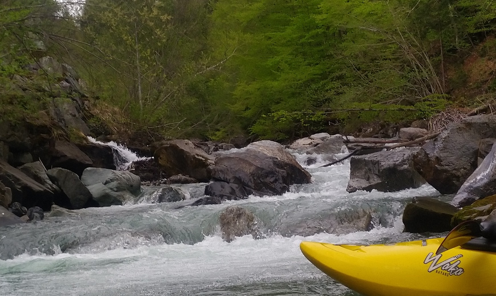
Brandenberger Ache (AT), Tiefenbachklamm
Gefahr aufgehoben
Der Baum ist weg, vermutlich hat ihn jemand rausgeschnitten (Danke dafür :))
 • #4280 • 13.05.2021 20:38
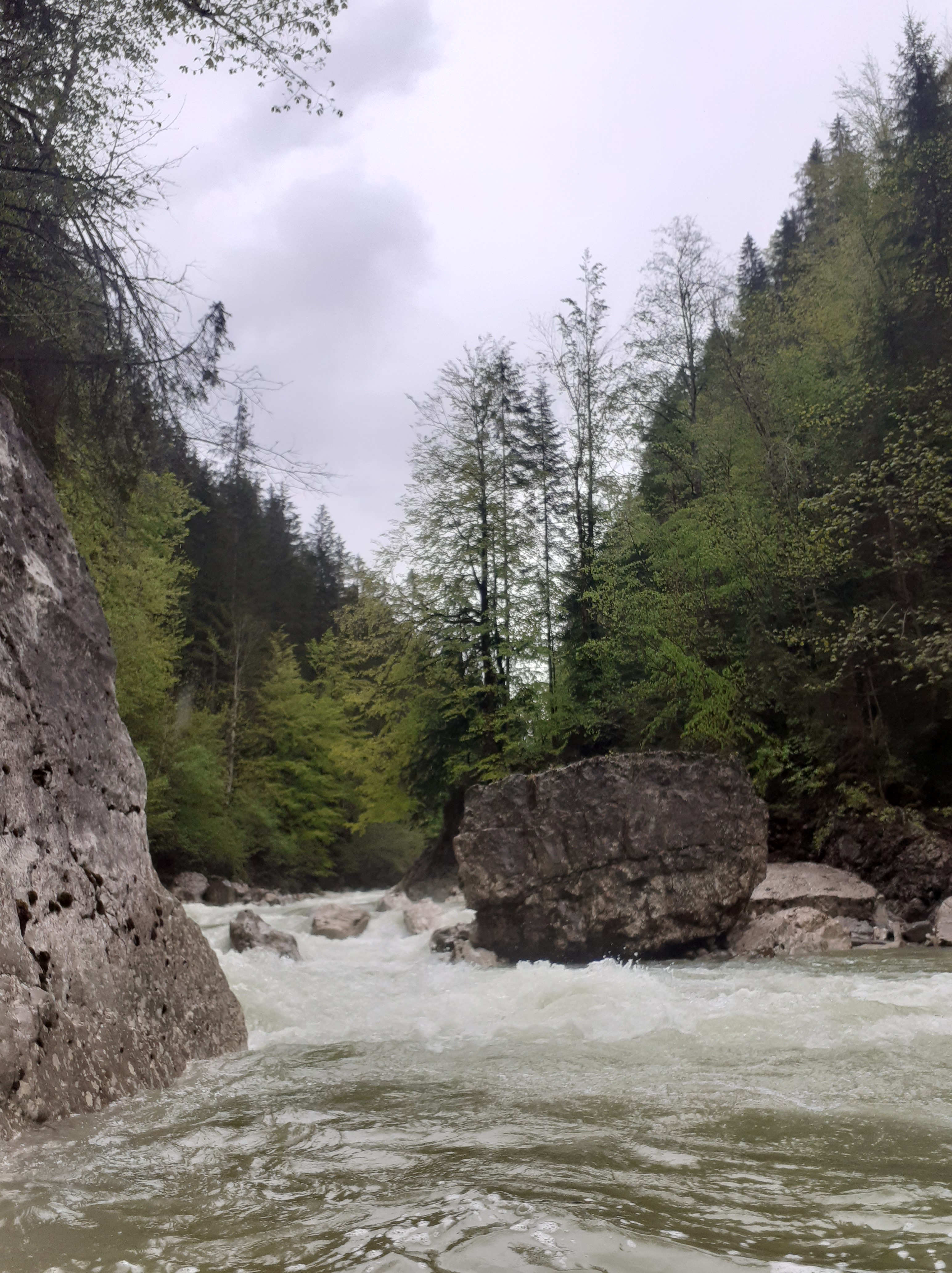
Landquart (CH), Serneus - Küblis
Gefahr vorübergehend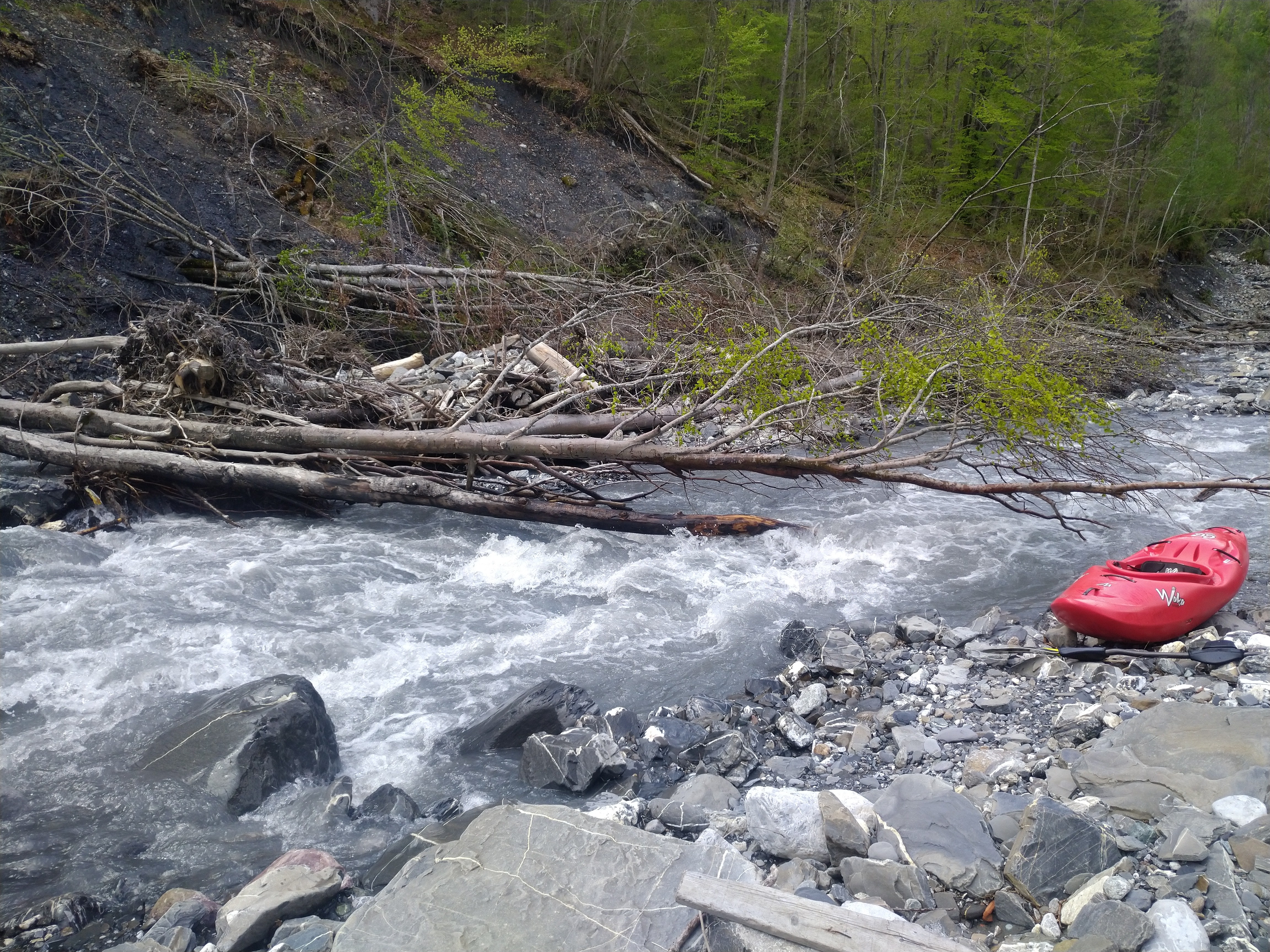 • #4279 • 13.05.2021 20:32
Landquart (CH), Serneus - Küblis
Info
Alles fahrbar!!! Der Pegel war 61m3. Oben war dies ein schöner NW - MW Wasserstand
 • #4277 • 13.05.2021 08:20
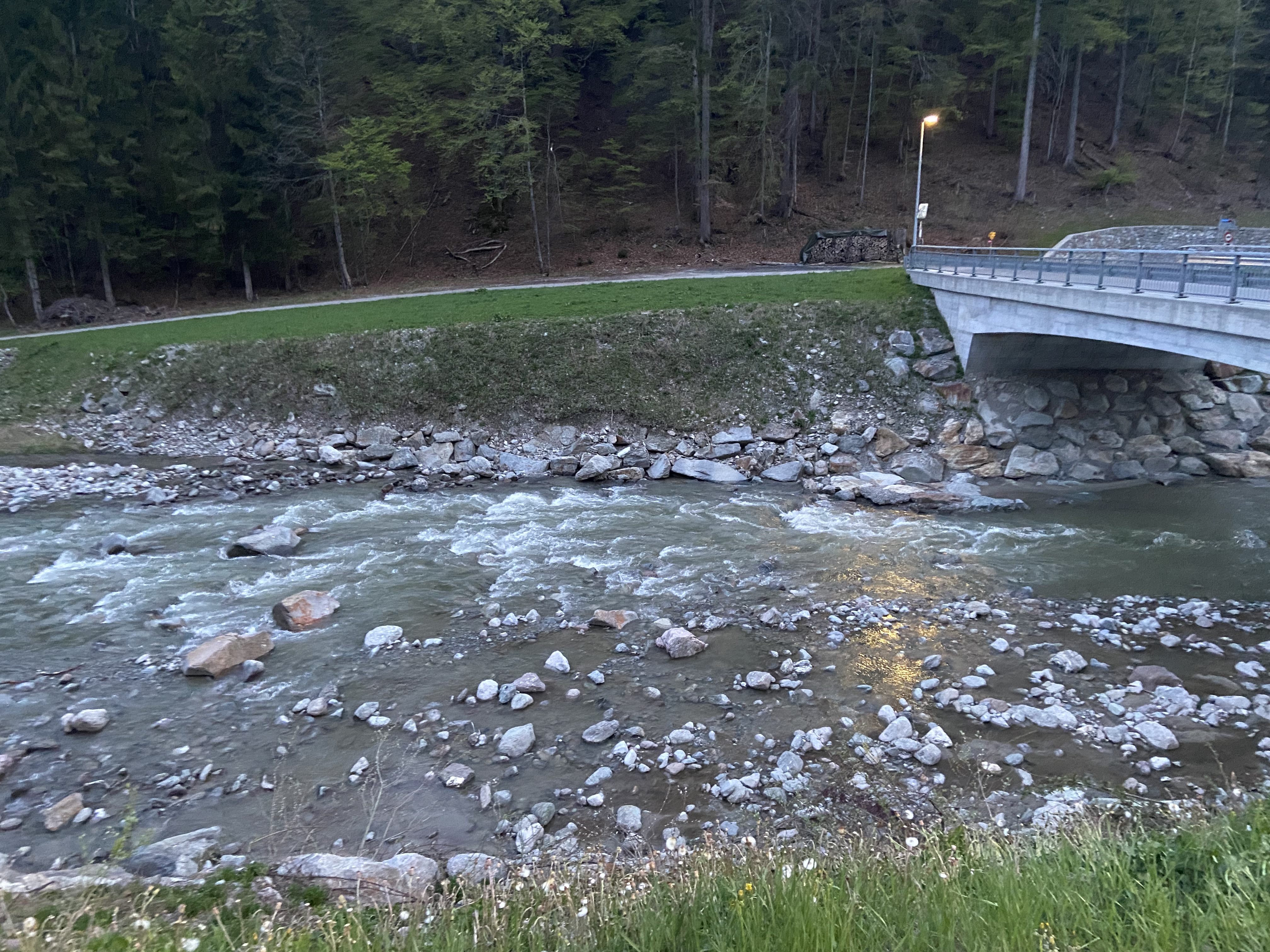
Ramsauer Ache (AT), Zauberwald
Bewertung NW-MW-HW
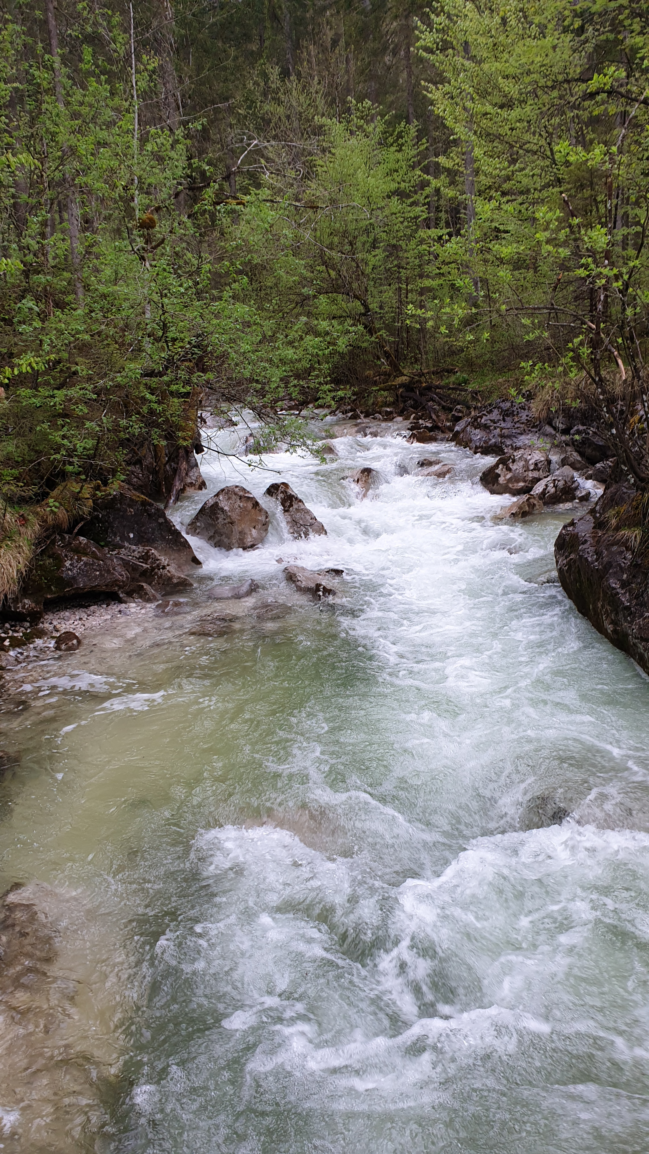
Pegel ca. 10 kubik dürfte niedriges Mittelwasser sein. Befahrung bei weniger wohl kaum lohnend wegen enger Durchfahrten
 • #4276 • 12.05.2021 22:19
Weisse Lütschine (CH), Lauterbrunnen - Zweilütschinen
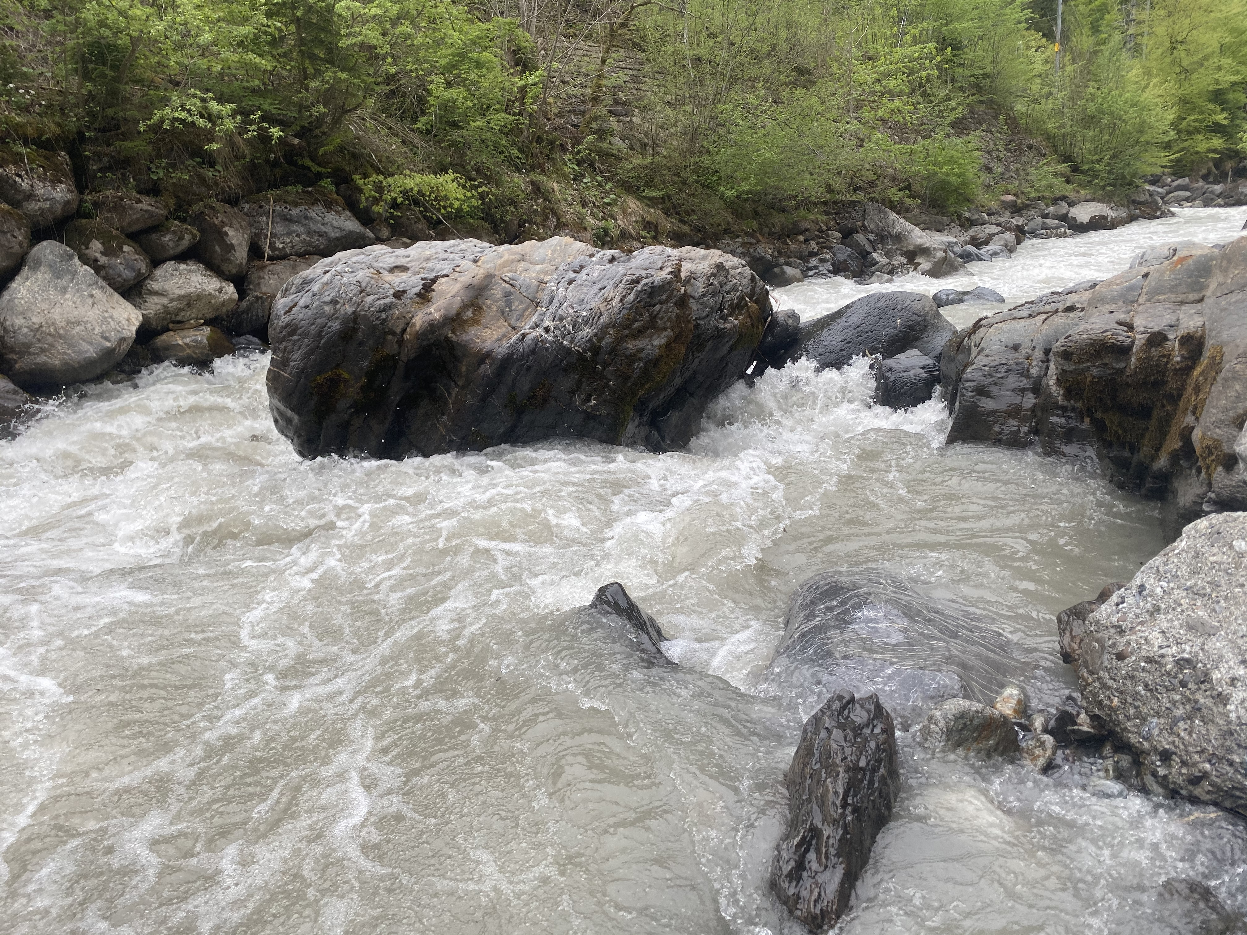
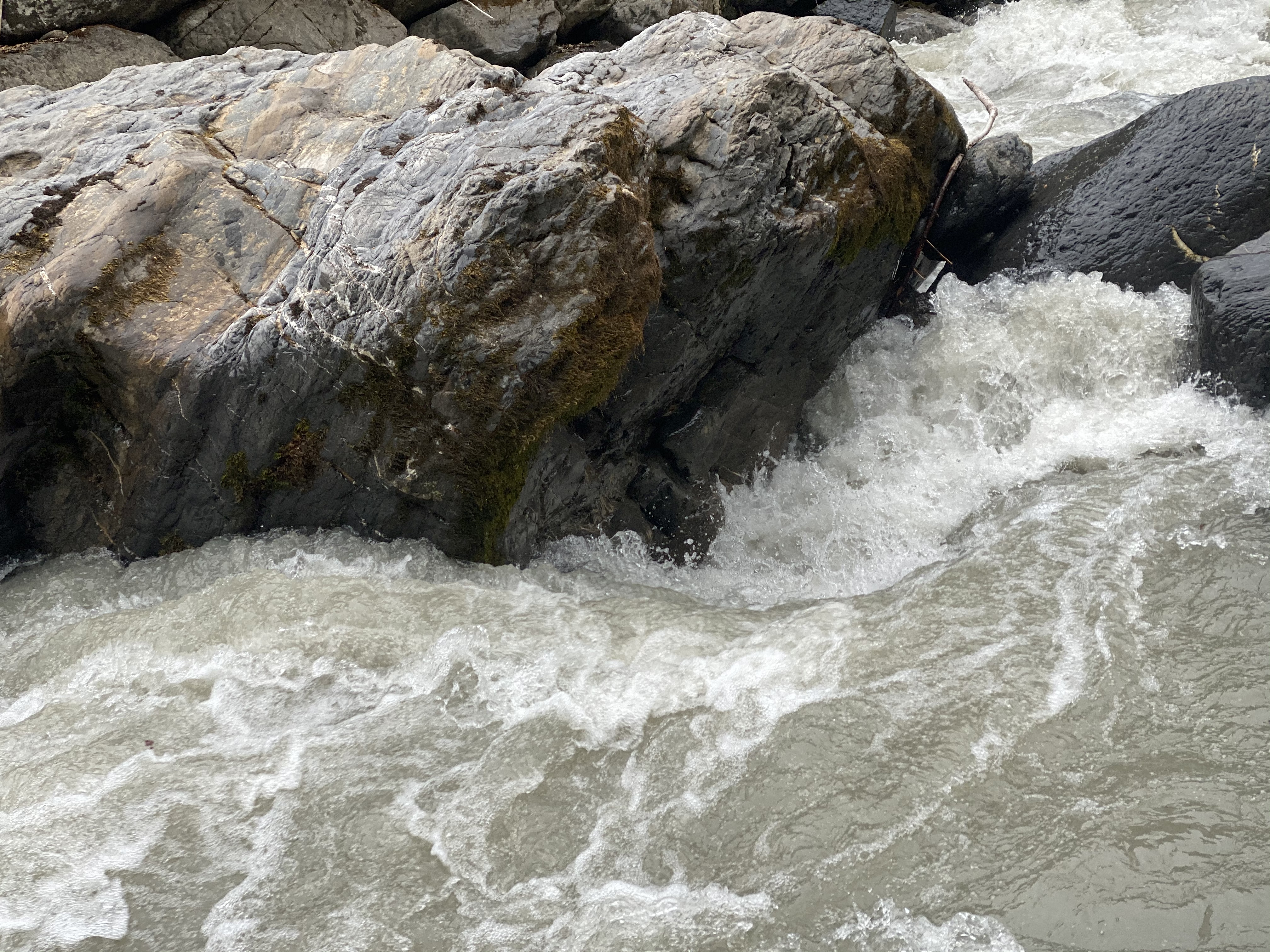
Gefahr vorübergehendDie Lütschine hat es ein Wenig umgestellt:
- Oberer Teil “Pschütti-Verteiler” ca. 100m nach Fussgängerbrücke.
In der oft befahrenen linken Linie steckt ein kleiner Baum drin. Beim Scouting Kehrwasser auf halber Strecke aussteigen und anschauen macht Sinn.
Ansonsten scheint die gesamte Strecke runder und fairer.
- Abschnitt Wehr und Schlachthaus bis Sousbach.
Der Siphon auf halber Strecke rechts ist deutlich grösser geworden. Ein Schwimmer wäre auf dem ersten Teil schlecht, da sicherlich 50% der Strömung nun in den Siphon geht. Halten im Kehrwasser unmittelbar davor rechts noch möglich aber nicht empfehlenswert. (Befahrung bei ca. 10-12 Kubik)
- Strassenkurve/ letzte Doppelstufe vor Zusammenfluss Schwarze.
Der mittlere Grosse Stein ist noch näher an die Platte. Die Einfahrt ist deutlich anders geworden. Der Siphon am ende der Stufen ist nun direkt von der gesamten Strömung angespült. Der Brocken, welcher das Siphon bildet, liegt gut 2 Meter weiter aussen. Anschauen ist sicherlich ein Vorteil.
Pegel stimmt frühlingshaft nicht, es können gut 2-3 Kubik dazu gerechnet werden.
Keep the river smile
Kajakschule Los Leones
- Oberer Teil “Pschütti-Verteiler” ca. 100m nach Fussgängerbrücke.
In der oft befahrenen linken Linie steckt ein kleiner Baum drin. Beim Scouting Kehrwasser auf halber Strecke aussteigen und anschauen macht Sinn.
Ansonsten scheint die gesamte Strecke runder und fairer.
- Abschnitt Wehr und Schlachthaus bis Sousbach.
Der Siphon auf halber Strecke rechts ist deutlich grösser geworden. Ein Schwimmer wäre auf dem ersten Teil schlecht, da sicherlich 50% der Strömung nun in den Siphon geht. Halten im Kehrwasser unmittelbar davor rechts noch möglich aber nicht empfehlenswert. (Befahrung bei ca. 10-12 Kubik)
- Strassenkurve/ letzte Doppelstufe vor Zusammenfluss Schwarze.
Der mittlere Grosse Stein ist noch näher an die Platte. Die Einfahrt ist deutlich anders geworden. Der Siphon am ende der Stufen ist nun direkt von der gesamten Strömung angespült. Der Brocken, welcher das Siphon bildet, liegt gut 2 Meter weiter aussen. Anschauen ist sicherlich ein Vorteil.
Pegel stimmt frühlingshaft nicht, es können gut 2-3 Kubik dazu gerechnet werden.
Keep the river smile
Kajakschule Los Leones
 • #4273 • 11.05.2021 11:28
Vorderrhein (CH), Trun - Tavanasa
Gefahr vorübergehendHinweis Axpo: Wehr Tavanasa wird demnächst wegen HW geöffnet.
Ausbooten im Stausee könnte schwierig werden.
Meldung weitergeleitet von http://www.swisscanoe.ch/meldestelle
Ausbooten im Stausee könnte schwierig werden.
Meldung weitergeleitet von http://www.swisscanoe.ch/meldestelle
• #4272 • 11.05.2021 08:31Resia (IT), Medio (Ponte per Stolvizza - Prato)
GefahrNeed to stop before the bridge near Bar al Ranch (46.36525,13.32352) because under the bridge there are 2 dams
• #4267 • 10.05.2021 12:50Saane / Sarine (CH), Camping Le Berceau - Lac du Vernex
Gefahr vorübergehendThe tree in the Chaudanne gorge (#4236) is gone.
 • #4266 • 10.05.2021 09:52
Sanna (AT), Unterhalb Zusammenfluss - Landeck
Info
From Kayak School Arlberg:
"Parking on the Sanna
Please be aware that parking at the take-out by the old Sport Camp Tirol in Landeck is no longer allowed for kayaking.
The pizzeria has had numerous problems with kayakers taking up the parking spaces and area.
Those kayakers who do park there could expect a penalty (up to EUR 600).
There is an official take out for the Sanna by the confluence of the River Inn, we strongly suggest kayakers use that."
https://www.facebook.com/KayakSchoolArlberg/posts/4119055624799451
"Parking on the Sanna
Please be aware that parking at the take-out by the old Sport Camp Tirol in Landeck is no longer allowed for kayaking.
The pizzeria has had numerous problems with kayakers taking up the parking spaces and area.
Those kayakers who do park there could expect a penalty (up to EUR 600).
There is an official take out for the Sanna by the confluence of the River Inn, we strongly suggest kayakers use that."
https://www.facebook.com/KayakSchoolArlberg/posts/4119055624799451
• #4264 • 10.05.2021 08:51Wilde Gutach (DE), Obere (Waldschlucht: Hexenlochmühle - Kraftwerk)
Flash!
Erledigt
• #4261 • 09.05.2021 17:18Thur (CH), Obere (Mühlau - Schwarzenbach)
Gefahr vorübergehendBaum kurz vor dem Indianerfels. Sieht einfach aus, ist bei 35 kubik aber trotzdem angespült.
 • #4260 • 08.05.2021 19:37
Sense (CH), Guggersbach - Ruchmüli
Flash!
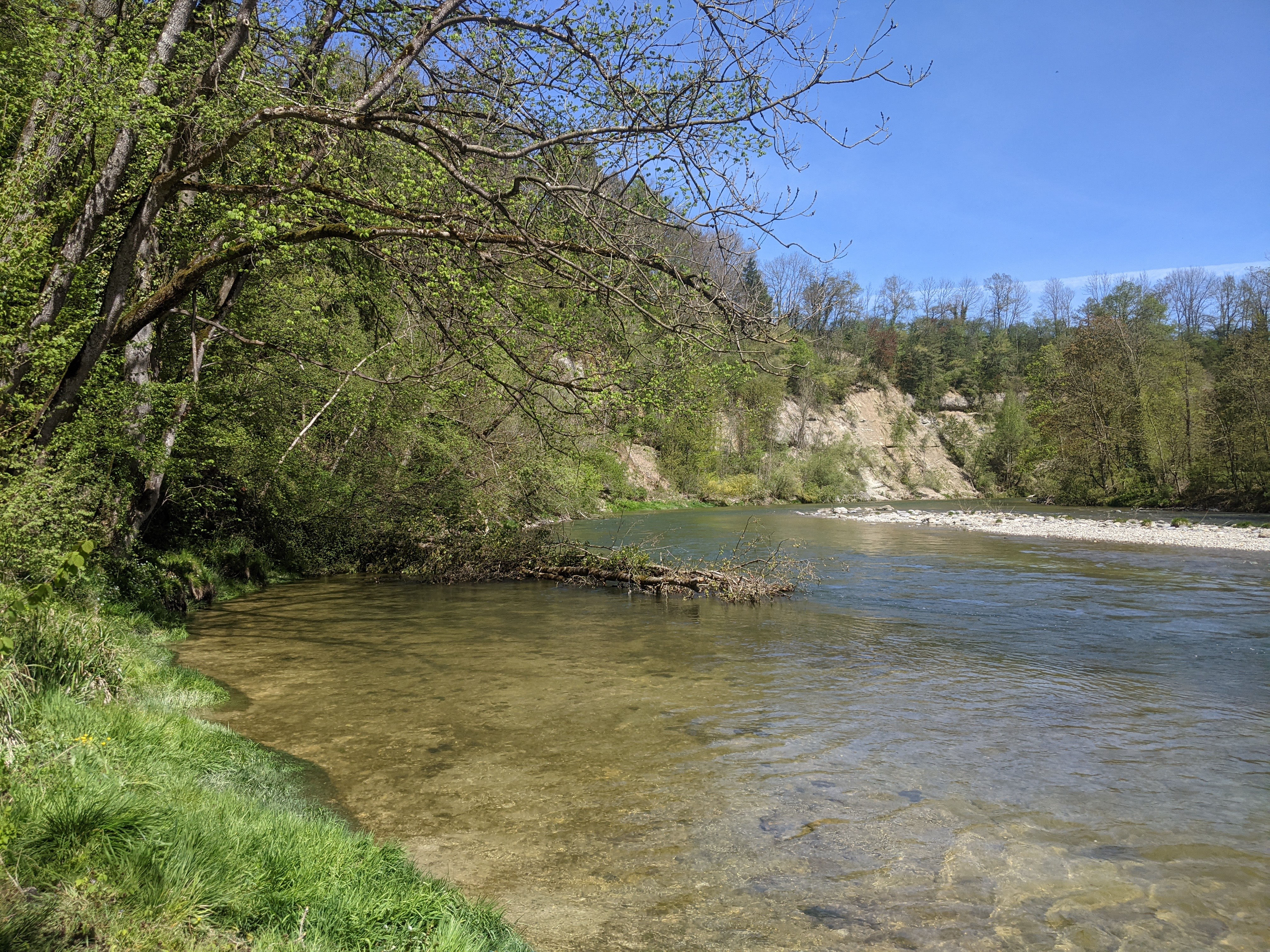
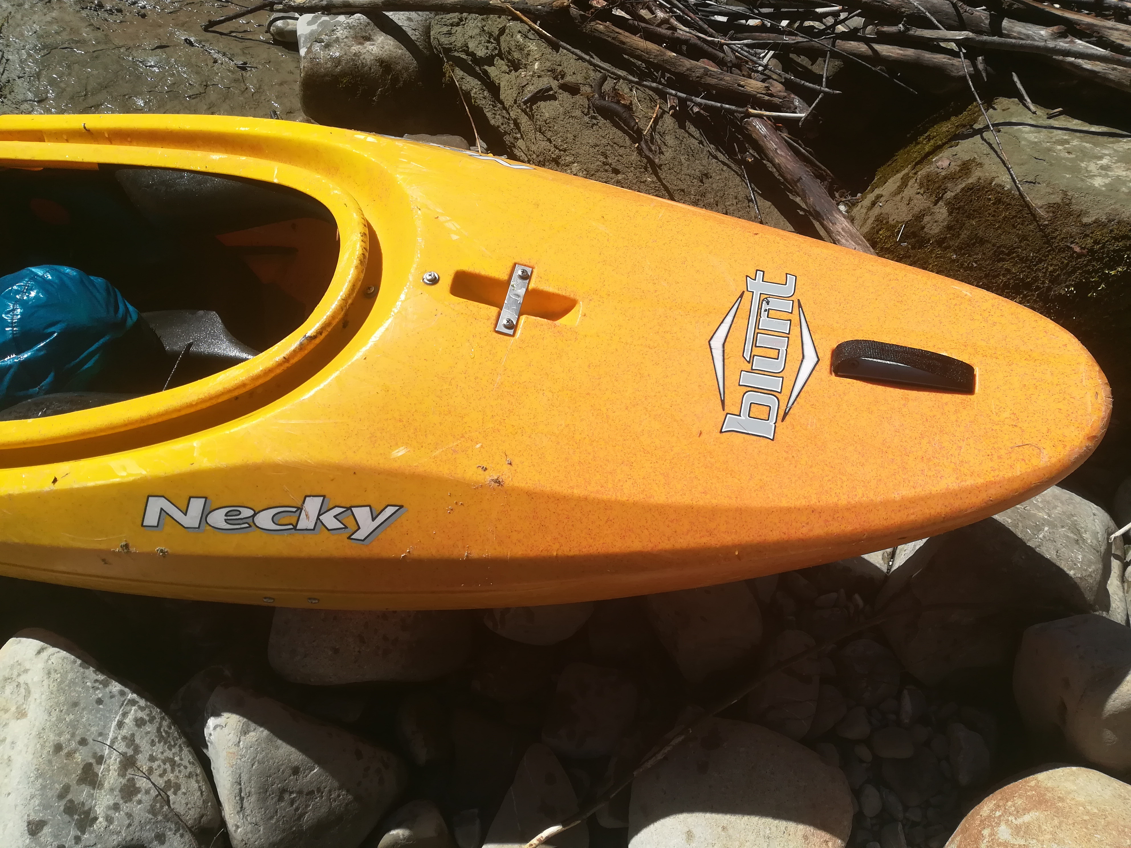
Haben ein gelbes Necky Kayak gefunden. Besitzer bitte per eMail melden für weitere Infos.
 • #4259 • 08.05.2021 16:02
Aubach (AT),
Verzasca (CH), Mittlere (Brione - Aquino)
GefahrWalze im Labyrinth (gut von Strassenbrücke sichtbar) wird ab 20m3 ziemlich sticky. Schlecht absicherbar.
• #4256 • 06.05.2021 12:26Seite: 1 2 3 4 5 . . . 127 128 129 130 131 132 133 . . . 284 285 286
nach oben