Rivermap
HomeThe Map
List View


 Flusshinweise
Befahrbarkeit
English Summary
Karte Einbetten
Systemstatus
Kontakt und Team
Datenlieferanten
Contributor Agreement
The RCSD
Public licenses
Rivermap Japan
 "Rivermap Supporter" Group
Flusshinweise
Als Grundlage dient wenn immer möglich ein Flussführer.
 RSS-Feed
abonnieren und nichts verpassen.
RSS-Feed
abonnieren und nichts verpassen.
Seite: 1 2 3 4 5 . . . 215 216 217 218 219 220 221 . . . 284 285 286
Resultate 4341 - 4360 von 5720
Vorderrhein (CH), Sedrun - Disentis
Bewertung NW-MW-HW
Strecke hat einen neuen Pegel bei Disentis.
Bitte nach Befahrung Pegelwert mit persönlicher Einschätzung NW-MW-HW melden, damit wir die Befahrbarkeitsangabe kalibrieren können.
Bitte nach Befahrung Pegelwert mit persönlicher Einschätzung NW-MW-HW melden, damit wir die Befahrbarkeitsangabe kalibrieren können.
 • #1935 • 17.04.2016 23:34
Vorderrhein (CH), Disentis - Madernal
Bewertung NW-MW-HW
Strecke hat einen neuen Pegel bei Disentis.
Bitte nach Befahrung Pegelwert mit persönlicher Einschätzung NW-MW-HW melden, damit wir die Befahrbarkeitsangabe kalibrieren können.
Bitte nach Befahrung Pegelwert mit persönlicher Einschätzung NW-MW-HW melden, damit wir die Befahrbarkeitsangabe kalibrieren können.
• #1934 • 17.04.2016 23:33Vorderrhein (CH), Madernal - Cumpadials
Bewertung NW-MW-HW
Strecke hat einen neuen Pegel bei Disentis.
Bitte nach Befahrung Pegelwert mit persönlicher Einschätzung NW-MW-HW melden, damit wir die Befahrbarkeitsangabe kalibrieren können.
Bitte nach Befahrung Pegelwert mit persönlicher Einschätzung NW-MW-HW melden, damit wir die Befahrbarkeitsangabe kalibrieren können.
• #1933 • 17.04.2016 23:33Vorderrhein (CH), Cumpadials - Trun
Bewertung NW-MW-HW
Strecke hat einen neuen Pegel bei Disentis.
Bitte nach Befahrung Pegelwert mit persönlicher Einschätzung NW-MW-HW melden, damit wir die Befahrbarkeitsangabe kalibrieren können.
Bitte nach Befahrung Pegelwert mit persönlicher Einschätzung NW-MW-HW melden, damit wir die Befahrbarkeitsangabe kalibrieren können.
• #1932 • 17.04.2016 23:32Vorderrhein (CH), Trun - Tavanasa
Bewertung NW-MW-HW
Strecke hat einen neuen Pegel bei Disentis.
Bitte nach Befahrung Pegelwert mit persönlicher Einschätzung NW-MW-HW melden, damit wir die Befahrbarkeitsangabe kalibrieren können.
Bitte nach Befahrung Pegelwert mit persönlicher Einschätzung NW-MW-HW melden, damit wir die Befahrbarkeitsangabe kalibrieren können.
• #1931 • 17.04.2016 23:32Julia (CH), Tinizong - Kieswerk Salouf
Bewertung NW-MW-HW
Strecke hat einen neuen Hilfspegel bei Rona, oberhalb der Strecke.
Bitte nach Befahrung Pegelwert mit persönlicher Einschätzung NW-MW-HW melden, damit wir die Befahrbarkeitsangabe kalibrieren können.
Bitte nach Befahrung Pegelwert mit persönlicher Einschätzung NW-MW-HW melden, damit wir die Befahrbarkeitsangabe kalibrieren können.
• #1930 • 17.04.2016 23:30Inn (CH), Punt Nova - Susch
Bewertung NW-MW-HW
Strecke hat einen neuen Pegel bei Zernez.
Bitte nach Befahrung Pegelwert mit persönlicher Einschätzung NW-MW-HW melden, damit wir die Befahrbarkeitsangabe kalibrieren können.
Bitte nach Befahrung Pegelwert mit persönlicher Einschätzung NW-MW-HW melden, damit wir die Befahrbarkeitsangabe kalibrieren können.
• #1926 • 17.04.2016 23:27Moesa (CH), Arabella - Sorte
Bewertung NW-MW-HW
Strecke hat einen neuen Pegel bei Soazza.
Bitte nach Befahrung Pegelwert mit persönlicher Einschätzung NW-MW-HW melden, damit wir die Befahrbarkeitsangabe kalibrieren können.
Bitte nach Befahrung Pegelwert mit persönlicher Einschätzung NW-MW-HW melden, damit wir die Befahrbarkeitsangabe kalibrieren können.
• #1925 • 17.04.2016 23:26Moesa (CH), Castello di Mesocco - Arabella
Bewertung NW-MW-HW
Strecke hat einen neuen Pegel bei Soazza.
Bitte nach Befahrung Pegelwert mit persönlicher Einschätzung NW-MW-HW melden, damit wir die Befahrbarkeitsangabe kalibrieren können.
Bitte nach Befahrung Pegelwert mit persönlicher Einschätzung NW-MW-HW melden, damit wir die Befahrbarkeitsangabe kalibrieren können.
• #1924 • 17.04.2016 23:26Wutach (DE), Gutach - Schattenmühle
 Gefahr vorübergehend
Von Neustadt bis EW Stallegg wenig Baumhindernisse, alle gut um- oder unterfahrbar.
Im Wehr stecken vertikal 2 riesen Bäume. Wehr nicht fahrbar.
Gleich nach dem Wehr 3 Bäume quer mit Ästen bis ins Wasser. Links auf Weg umtragbar.
Nach gedeckter Holzbrücke nach Linkskurve 2 Bäume quer, 1. ganz rechts knapp unterfahrbar, 2. links gut unterfahrbar.
In der Schlucht 1 Baum gut unterfahrbar und 1 Baumverhau rechts umtragen, gut ersichtlich, gut rechts umtragbar.
Nach Schlucht 2 grosse Baumverahaue kurz hintereinander, beide links umtragbar.
Pegel 150cm = HW
Im Wehr stecken vertikal 2 riesen Bäume. Wehr nicht fahrbar.
Gleich nach dem Wehr 3 Bäume quer mit Ästen bis ins Wasser. Links auf Weg umtragbar.
Nach gedeckter Holzbrücke nach Linkskurve 2 Bäume quer, 1. ganz rechts knapp unterfahrbar, 2. links gut unterfahrbar.
In der Schlucht 1 Baum gut unterfahrbar und 1 Baumverhau rechts umtragen, gut ersichtlich, gut rechts umtragbar.
Nach Schlucht 2 grosse Baumverahaue kurz hintereinander, beide links umtragbar.
Pegel 150cm = HW
• #1923 • 17.04.2016 23:02Wutach (DE), Gutach - Schattenmühle
Befahrbarkeit
befahren von unterhalb Neustadt Holzlager bis Schattenmühle. Pegel Ewattingen = 150cm = HW.
Eisenbahn-Katarakt ist wuchtig und schnell.
Schlucht nach EW Stallegg bereitet Wuchtwasser-Feeling: Starke Presswasser, Pilze, hohe Wellen, schnelle Schwälle, 2-3 Walzen aber keine Stufen mehr.
Es hat überall genügend grosse Kehrwässer, in der Schlucht sind sie aber oft pumpend.
Eisenbahn-Katarakt ist wuchtig und schnell.
Schlucht nach EW Stallegg bereitet Wuchtwasser-Feeling: Starke Presswasser, Pilze, hohe Wellen, schnelle Schwälle, 2-3 Walzen aber keine Stufen mehr.
Es hat überall genügend grosse Kehrwässer, in der Schlucht sind sie aber oft pumpend.
• #1922 • 17.04.2016 22:53Reuss (CH), Amsteg - Autobahnrastplatz
Info
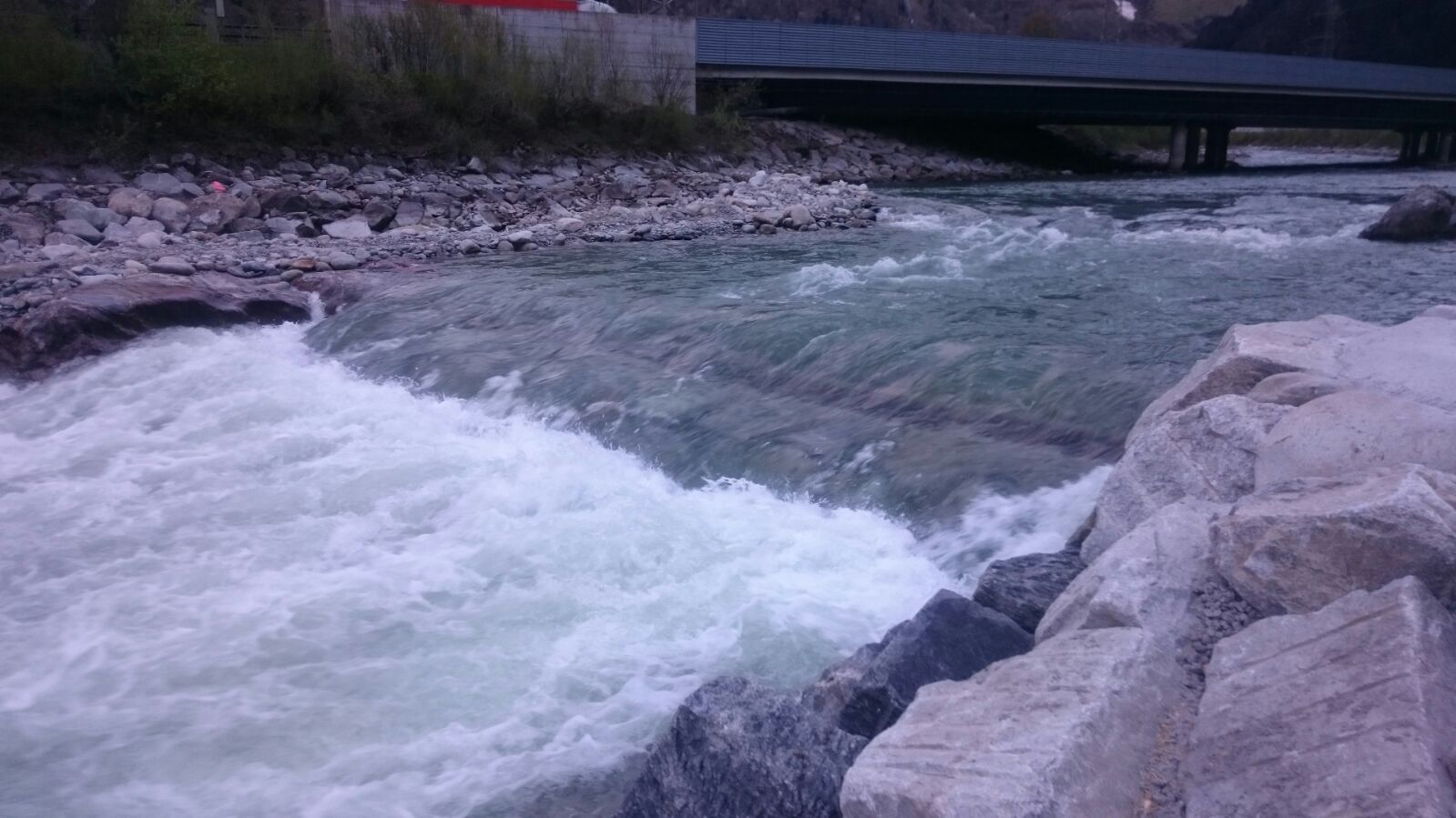
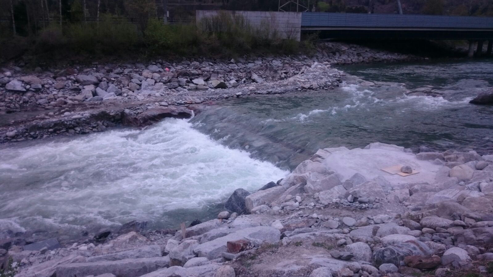
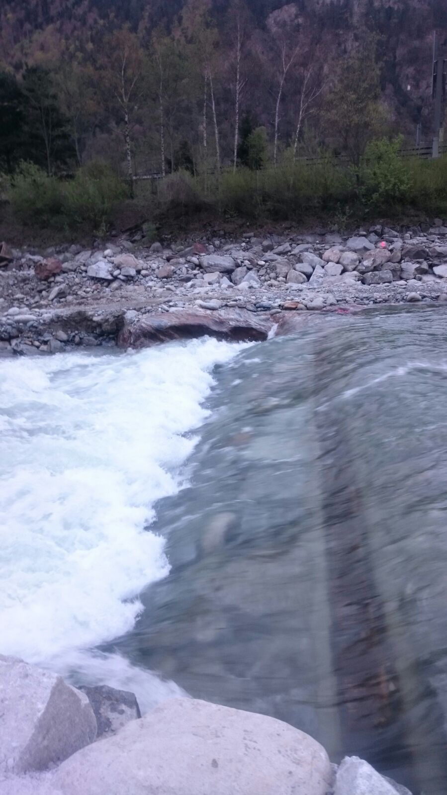
Wehr Amsteg
 • #1921 • 15.04.2016 14:55
Reuss (CH), Amsteg - Autobahnrastplatz
Info
Achtung neues Wehr nach der ersten Autobahnbrücke in Amsteg. Bei 30m3 auf der linken Seite ein Stein rechte seite geht gut. Kann auf dem rechten Flussarm umfahren werden. Bei mehr Wasser anschauen, ob nicht zu starker Rücklauf. KCU
• #1920 • 14.04.2016 19:05Verzasca (CH), Mittlere (Brione - Aquino)
Befahrbarkeit
Befahren bei 26 und 16 m3/s. Frei Fahrt.
Macht auch bei 16 Kubik noch Spass.
Macht auch bei 16 Kubik noch Spass.
• #1919 • 10.04.2016 23:08Vorderrhein (CH), Ilanz - Versam
Info
Die Einfahrt zum Kieswerk hast sich stark verändert. Anstatt einfach breit in den See des Kieswerks zu fliessen hat es jetzt neu ein S nach dem ersten grossen Stein. Für versierte Paddler macht das hin und her viel Spass. Der eine oder andere wird aber sicher grosse Augen machen. Und der Gruppenführer vielleicht grad mal ein wenig Angst um seine Schützlinge bekommen. Gefährlich scheint aber nichts zu sein.
• #1918 • 10.04.2016 21:41Doubs (FR), Slalom Goumois
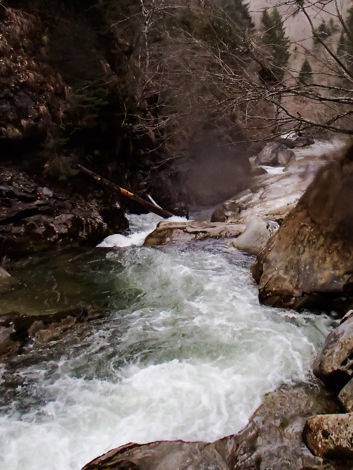
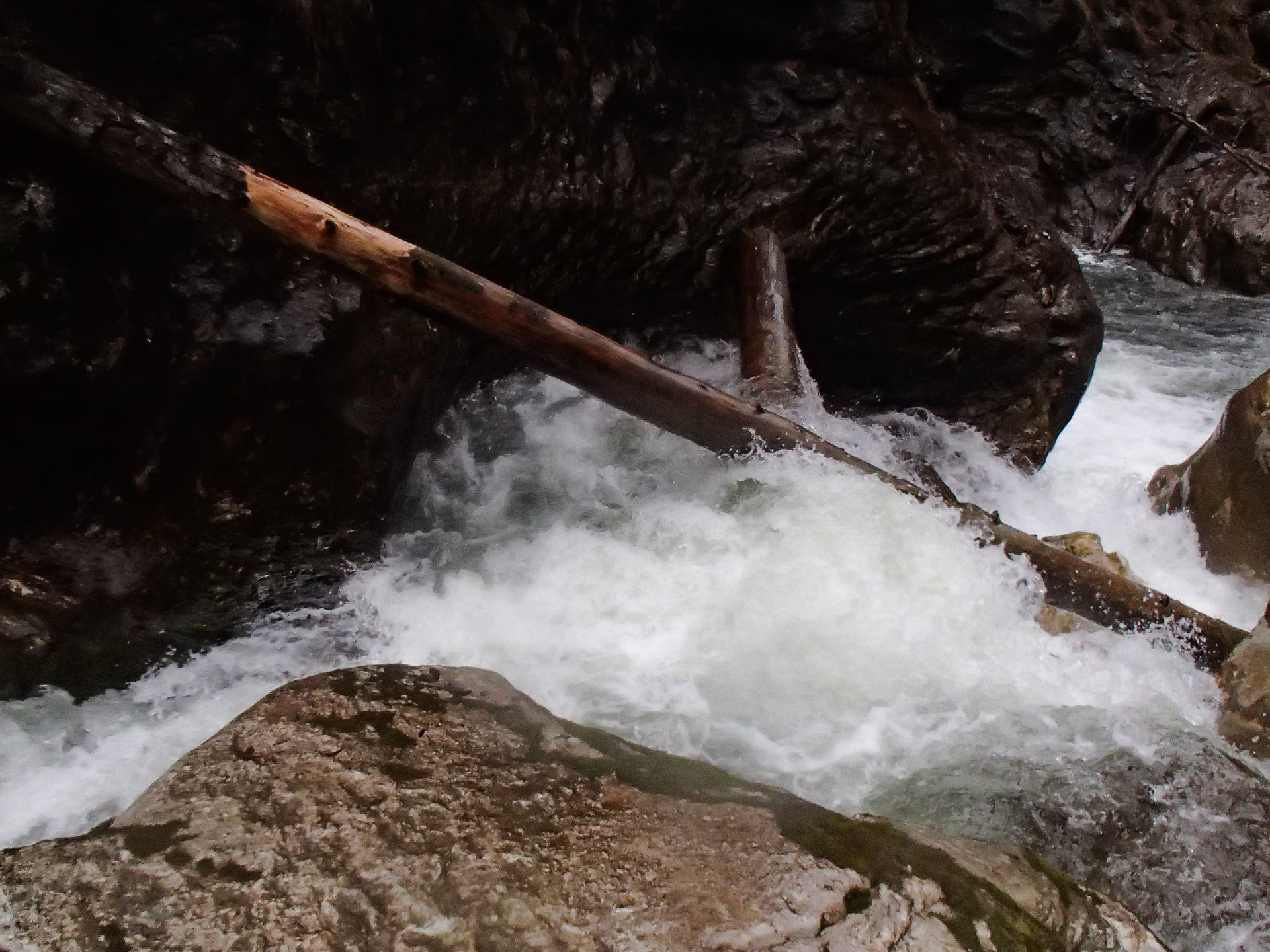
Valser Rhein (CH), Oberer (Brücke - Lunschania)
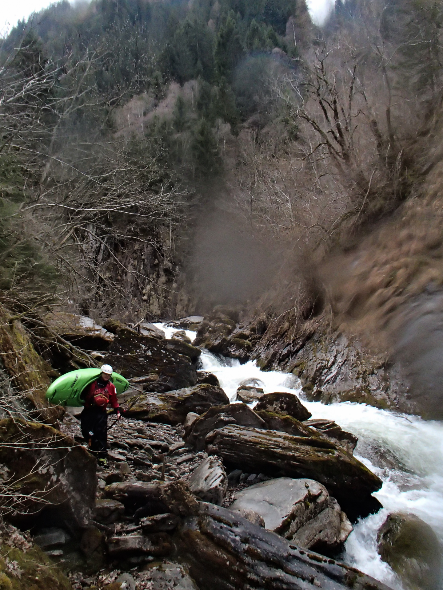
GefahrEtwa 200 Meter vor dem Schlitz kann man rechts ausbooten und den Schlitz umtragen.
Bei der Ausbootstelle mündet von links ein kleiner Bach durch das Ronggtobel in den Valserrhein.
Kehrwasser rechts nehmen: 46.653218,9.186321
https://www.google.com/maps/place/46°39'11.6"N+9°11'10.8"E/@46.6532191,9.1856703,18z
Bei der Ausbootstelle mündet von links ein kleiner Bach durch das Ronggtobel in den Valserrhein.
Kehrwasser rechts nehmen: 46.653218,9.186321
https://www.google.com/maps/place/46°39'11.6"N+9°11'10.8"E/@46.6532191,9.1856703,18z
 • #1916 • 08.04.2016 17:45
Averser Rhein (CH), Steinbruch - Stausee
Info
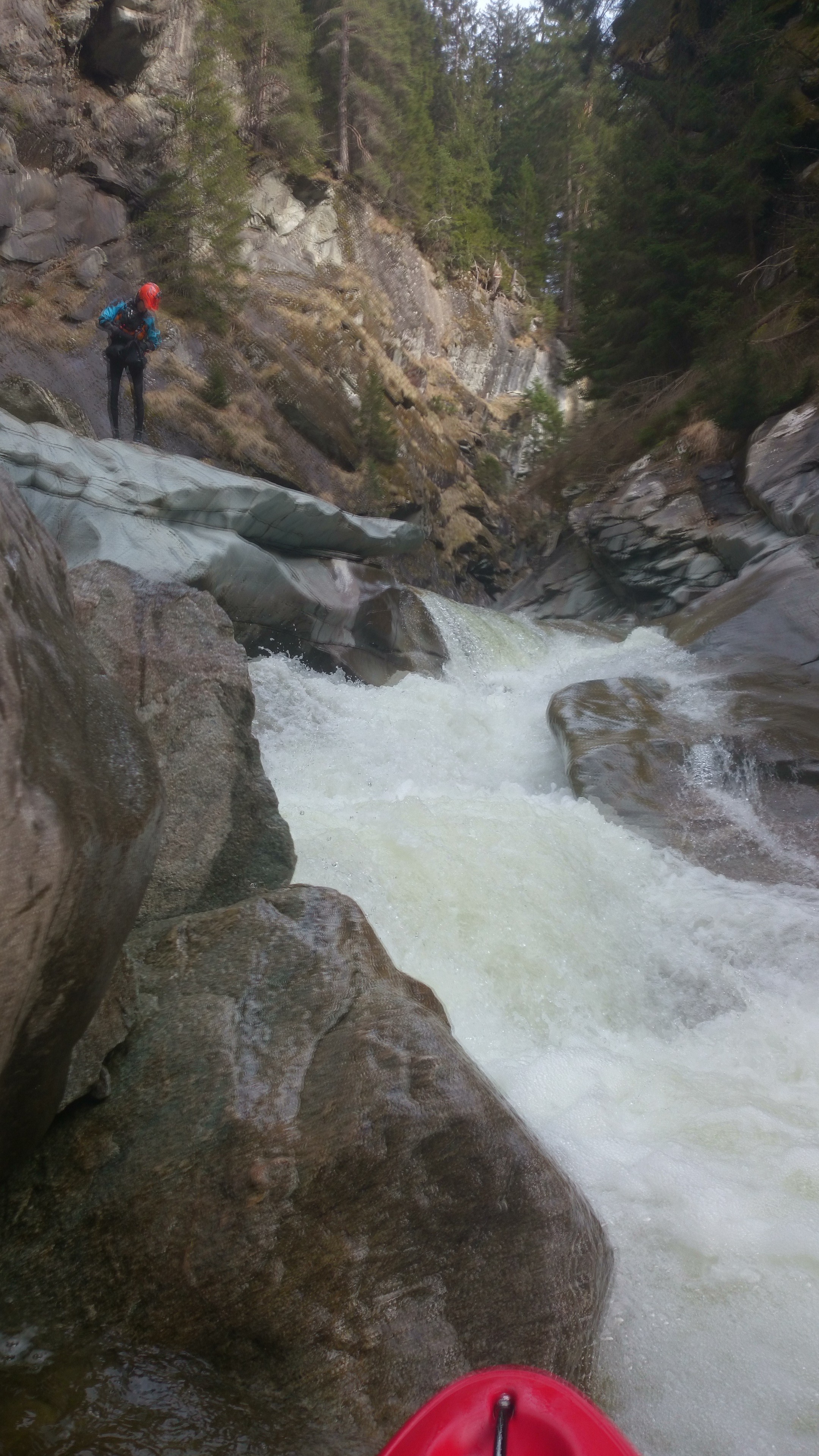 • #1913 • 05.04.2016 13:22
Esteron (FR), Roquesteron - Pont de l'Esteron
Bewertung NW-MW-HW
In Ergänzung zu 1893: Auch hier gab es eine Anpassung: http://www.eauxvives.org/fr/rivieres/voir/esteron/parcours:931/commentaires
• #1912 • 05.04.2016 13:02Valserine (FR), La Rivière - Chézery
Befahrbarkeit
We ran it on the 3/4/16 with 8m3/s in Chezery Forens. The visual scale was showing 75cm.
This level was good to discover this section. It looked more like a class IV than a class III!
No bothering trees, really nice section!
This level was good to discover this section. It looked more like a class IV than a class III!
No bothering trees, really nice section!
• #1907 • 04.04.2016 14:05Seite: 1 2 3 4 5 . . . 215 216 217 218 219 220 221 . . . 284 285 286
nach oben