Rivermap
HomeThe Map
List View


 Flusshinweise
Befahrbarkeit
English Summary
Karte Einbetten
Systemstatus
Kontakt und Team
Datenlieferanten
Contributor Agreement
The RCSD
Public licenses
Rivermap Japan
 "Rivermap Supporter" Group
Flusshinweise
Als Grundlage dient wenn immer möglich ein Flussführer.
 RSS-Feed
abonnieren und nichts verpassen.
RSS-Feed
abonnieren und nichts verpassen.
Seite: 1 2 3 4 5 . . . 170 171 172 173 174 175 176 . . . 284 285 286
Resultate 3441 - 3460 von 5720
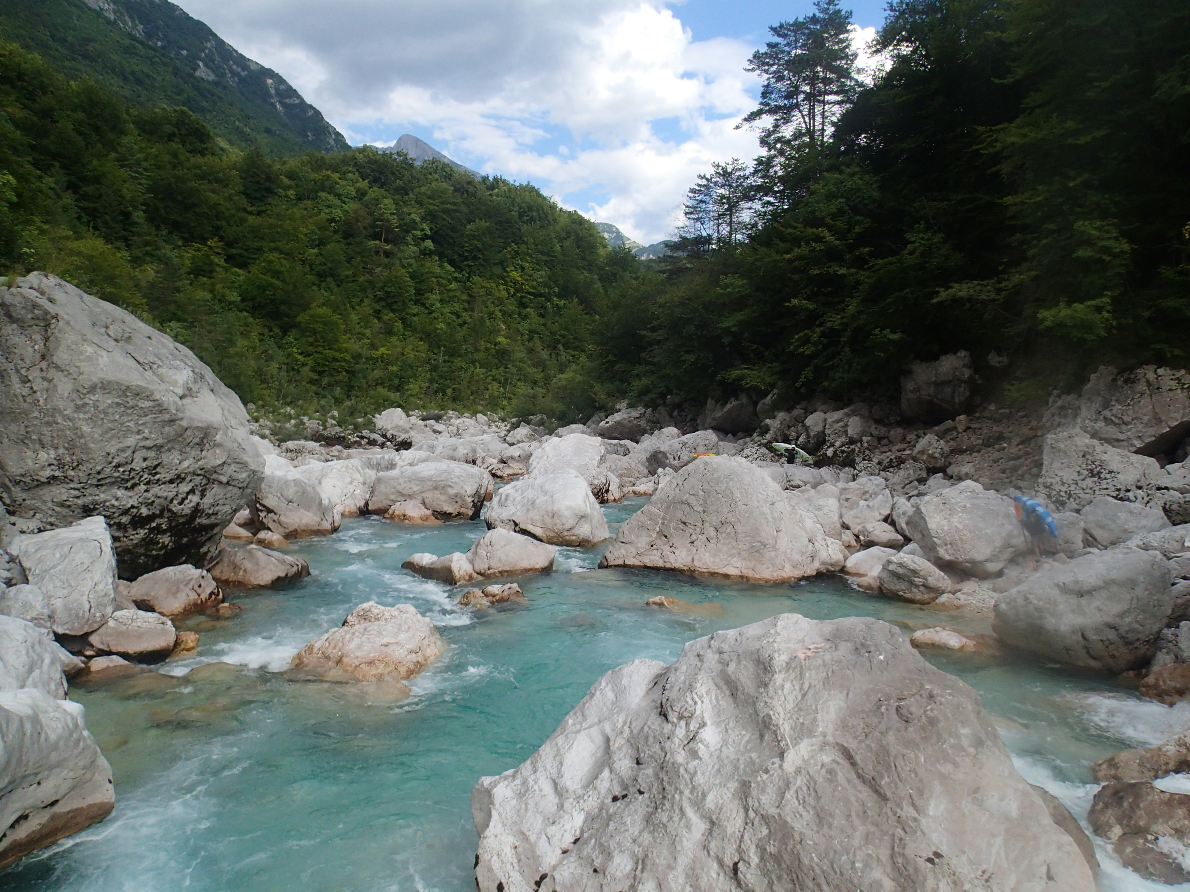
Soča (SI), Cataract Section (Trnovo - Otona)
Befahrbarkeit
paddled 17.7.2018 @ 10m3/s. Low level with some portages due to siphons and dried out slots. Above 20m3/s everything is runnable as some siphons will be covered or alternative slots will open up that are dry at 10m3/s.
 • #3017 • 23.07.2018 15:03
Soča (SI), Prima Gola/Bunker Run (Lepena - Zmuklica)
Bewertung NW-MW-HW
paddled 19.7.2018 @ 4m3/s. very low but still doable without too much rock contact.
• #3015 • 23.07.2018 14:47Durance (FR), Gorges du Pont d'Asfeld (Le Fontenil - Briançon)
 Gefahr
Vor Briancon ist ein Seilpark. Direkt nach dem Seilpark in der Rechstskurve ist ein Kraftwerksauslass in der Linken Wand (2 Halbkreis-Löcher rechtwinklig zum Bach). Es kommt innert weniger Sekunden ohne Vorwarnung Wasser vom Berg runter durch die Mauer und bildet auf die ganze Breite des Flusses einen riesigen Strudel. Umfahren nicht möglich!
• #3013 • 21.07.2018 16:37Aare (CH), Welle Scherzligenschleuse, Thun
Lammer (AT), Lammeröfen
Gefahr aufgehoben
Lammerkatarakt ist frei vom Baum
• #3010 • 16.07.2018 09:42Guil (FR), Combe Chauve (Barrage Maison du Roy - Guillestre)
Bewertung NW-MW-HW
Today's water level was 55cm and we would estimate this as higher optimal level. Optimum might be 50cm. Important note: the value is valid when the dam is empty and all water comes through.
• #3008 • 11.07.2018 15:14Valser Rhein (CH), Unterer (Lunschania - Uors)
Gefahr aufgehoben
vorbei
• #3006 • 10.07.2018 11:05Glenner (CH), Uors - Peiden
Gefahr aufgehoben
vorbei
• #3005 • 10.07.2018 11:03Inn (CH), Finstermünzer (Martina - Kajetansbrücke)
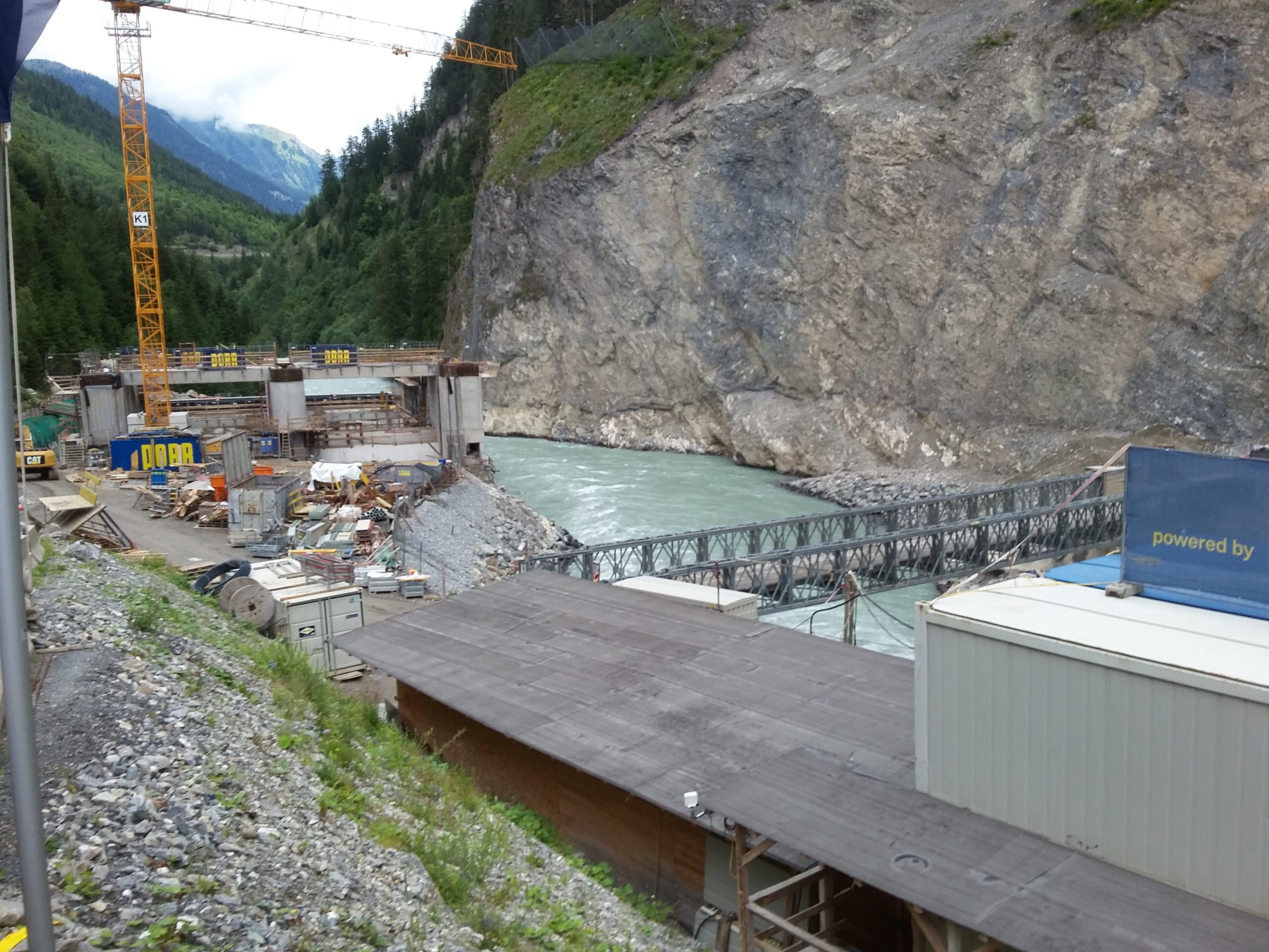
Info
Der Damm ist noch nicht geschlossen. Es gibt immer noch ein natürliches Flussbett. Laut Projekt webpage verzögert sich der Bau. Es ist möglich dass erst Ende 2019 dicht gemacht wird.
 • #3004 • 09.07.2018 09:17
Inn (CH), Finstermünzer (Martina - Kajetansbrücke)
Befahrbarkeit
Gepaddelt am 7.7.18 bei 104m3. In der 1. Schweren stelle hat es immer noch die selben bäume drin. Sonst alles baumfrei. Staudamm noch nicht geschlossen und fahrbar.
• #3003 • 09.07.2018 09:10Ticino (CH), Oberer 2 (Fontana - Airolo)
Befahrbarkeit
Paddled 8.7.18, ~10 cumecs on the Reuss gauge. Mostly paddleable wuth inspection. One simple portage below the avalanche site. The crux section was clear.
• #3002 • 08.07.2018 13:25Glenner (CH), Peiden - Ilanz
Gefahr vorübergehendvorbei
• #3001 • 08.07.2018 12:27Kander (CH), Blausee - Kandergrund
Befahrbarkeit
Gepaddelt am 1.7.18 bei 17m3. Baum aus hinweis #2482 ist immer noch drin. Vor der fahrt kurz anschauen.
• #2995 • 01.07.2018 21:00Lonza (CH), Kühmad - Minigolf Wiler
Bewertung NW-MW-HW
Ab 16m3 schwierig vor riederschnelle zu halten. Autobahn-style.
• #2994 • 30.06.2018 23:51Lonza (CH), Minigolf Wiler - Stausee
Bewertung NW-MW-HW
Ab 16m3 kaum Kehrwasser zum anhalten. Lange non-stop abschnitte. Charakter ist schnelle autobahn, immer noch untief. Verwalzt, einige walzen sollte mam nicht quer reinkommen.
• #2993 • 30.06.2018 23:49Rhône / Rotten (CH), Untere Rhoneschlucht
GefahrAn heissen tagen im sommer kann am nachmittag spontan mehr Wasser abgelassen werden. Volumen verdoppelt sich. Wenn man schon bei HW-marke einbootet wirds später in der schlucht kritisch. Rauslaufen kaum möglich
• #2992 • 30.06.2018 23:43Rhône / Rotten (CH), Grengiols - Filet
Befahrbarkeit
Gepaddelt am 30.6.18 bei 22m3 steigend um 15:00. Innert einer halben stunde davor hat sich das Volumen mehr als verdoppelt und das wasser kam braun. Auf dem rekinger pegel ist das nicht sichtbar. Wir vermuten Kraftwerksabgabe wegem vielen schmelzwasser. Strecke ist schnelles wuchtwasser mit wenig kehrwassern
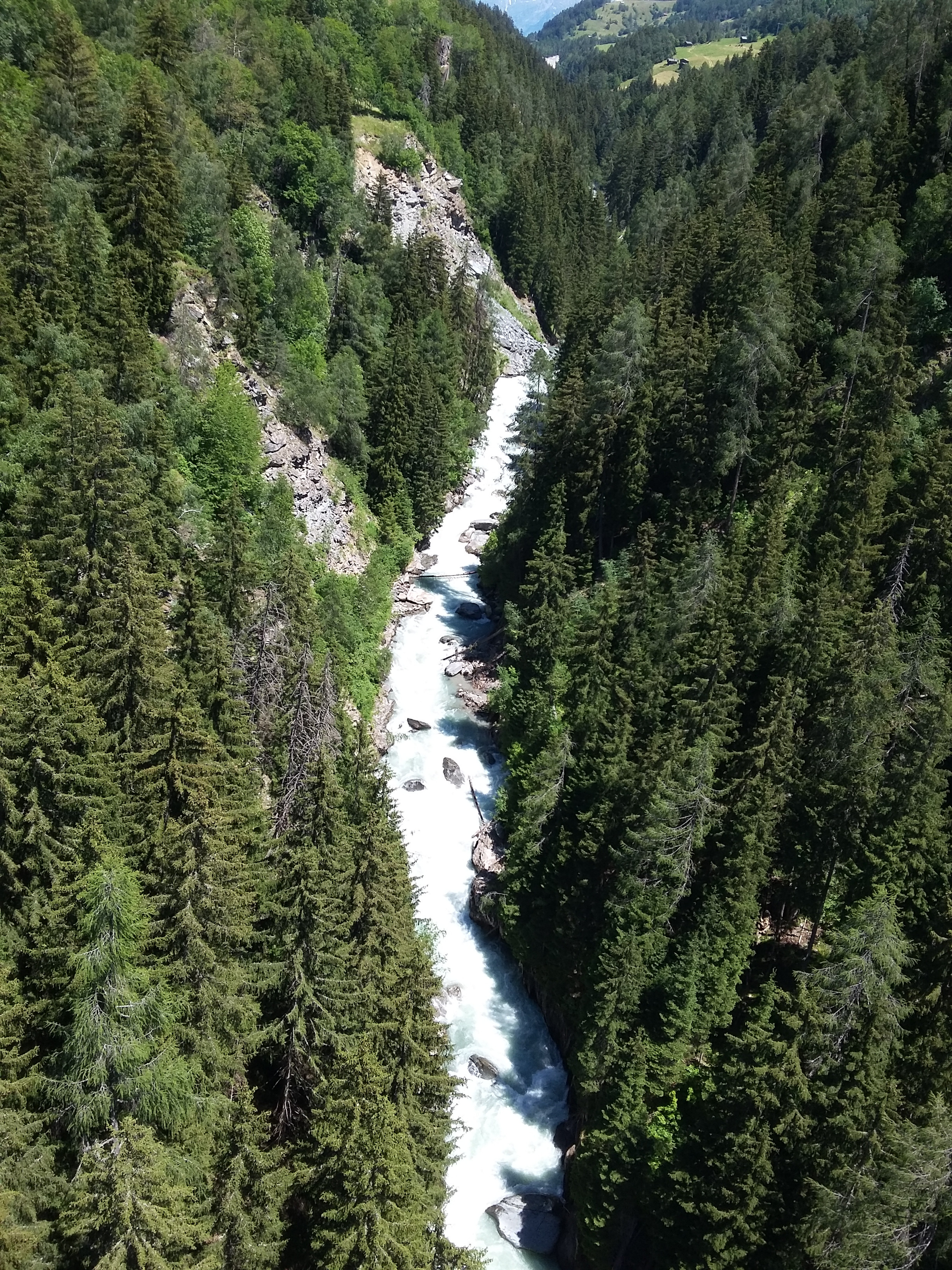
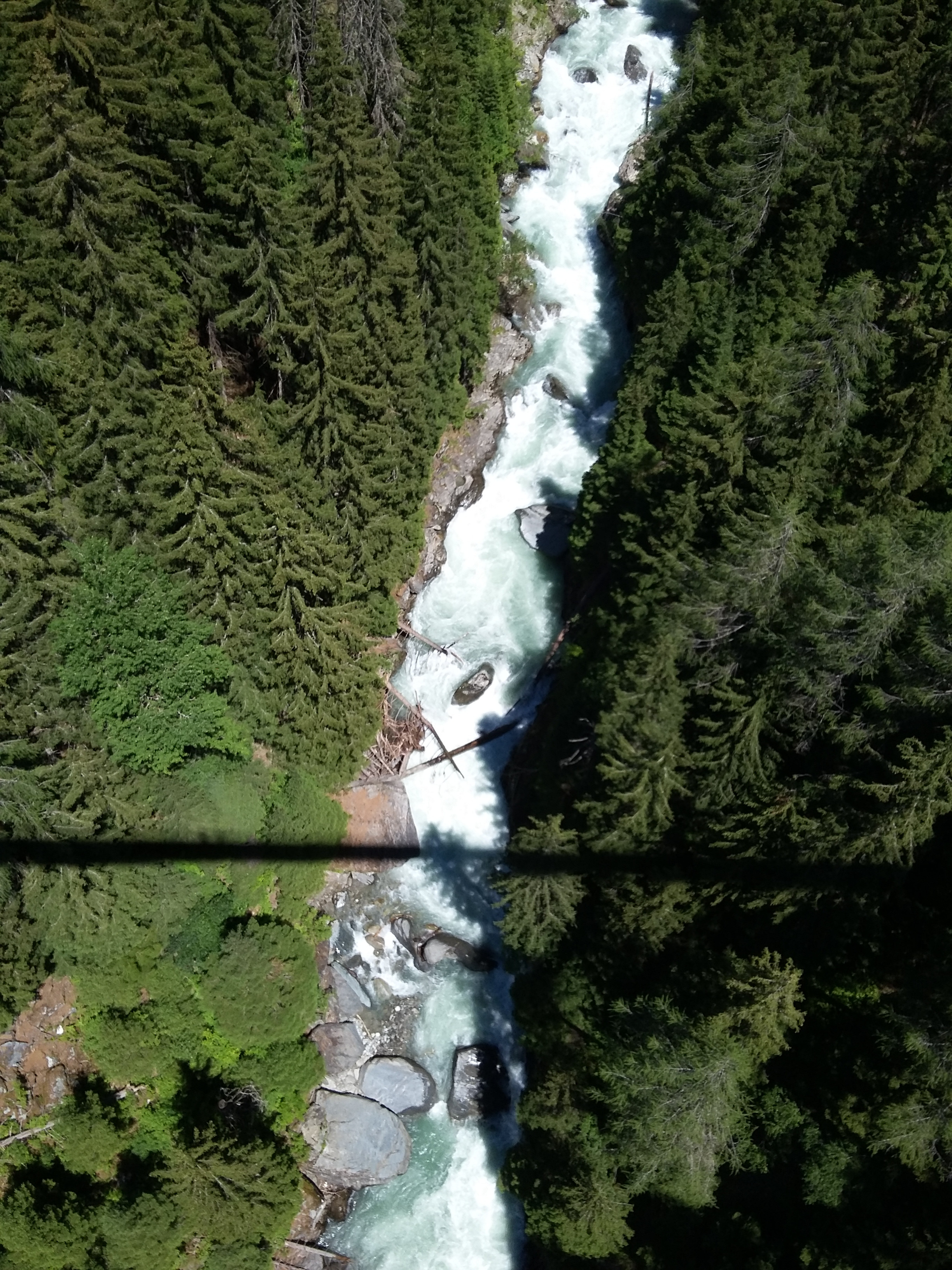
• #2991 • 30.06.2018 23:36Rhône / Rotten (CH), Obere Rhoneschlucht
Befahrbarkeit
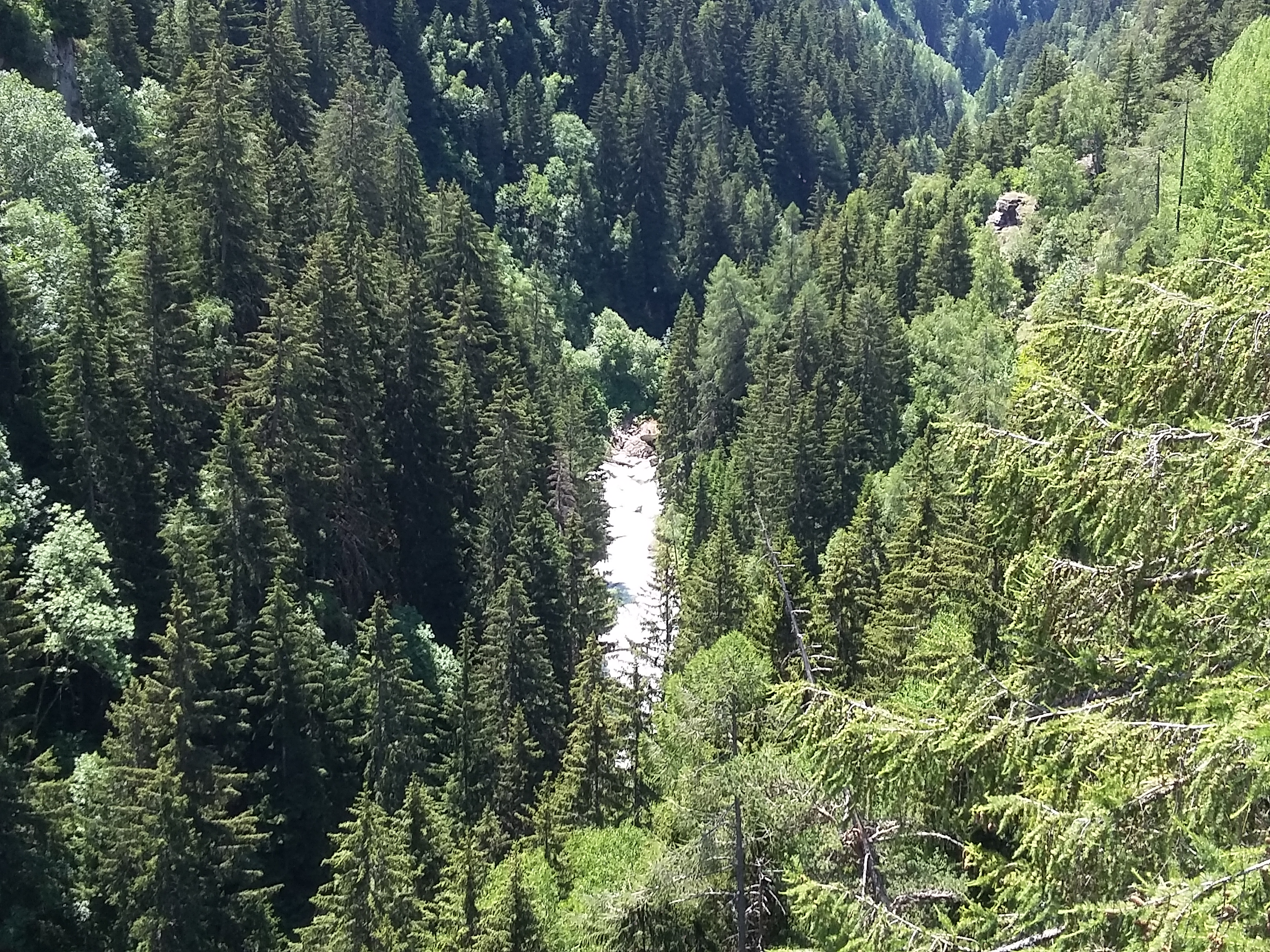
Von hängebrücke bei bellwald reingeschaut. Viele bäume im bach. 20.5m3 sind full-on und viel zu viel für diese abschnitt. Keine halteMöglichkeiten.
 • #2990 • 30.06.2018 23:29
Lonza (CH), Minigolf Wiler - Stausee
Befahrbarkeit
Befahren am 30.6.18 bei 16-17m3 ab blatten. Rieder-Schnelle baufrei. Rapid danach hat üble steine im hauptwasser. Sonst freie fahrt bis stausee
• #2989 • 30.06.2018 23:17Lonza (CH), Kühmad - Minigolf Wiler
Befahrbarkeit
Befahren am 30.6.18 ab Blatten bei 16-17m3. Rieder-Schnelle hat keine Bäume drin. Achtung rapid danach hat üble steine. Sonst Alles freie fahrt bis stausee.
• #2988 • 30.06.2018 23:13Seite: 1 2 3 4 5 . . . 170 171 172 173 174 175 176 . . . 284 285 286
nach oben