Rivermap
HomeThe Map
List View


 Flusshinweise
Befahrbarkeit
English Summary
Karte Einbetten
Systemstatus
Kontakt und Team
Datenlieferanten
Contributor Agreement
The RCSD
Public licenses
Rivermap Japan
 "Rivermap Supporter" Group
Flusshinweise
Als Grundlage dient wenn immer möglich ein Flussführer.
 RSS-Feed
abonnieren und nichts verpassen.
RSS-Feed
abonnieren und nichts verpassen.
Seite: 1 2 3 4 5 . . . 168 169 170 171 172 173 174 . . . 284 285 286
Resultate 3401 - 3420 von 5720
Lech (AT), Warther Schlucht
 Gefahr
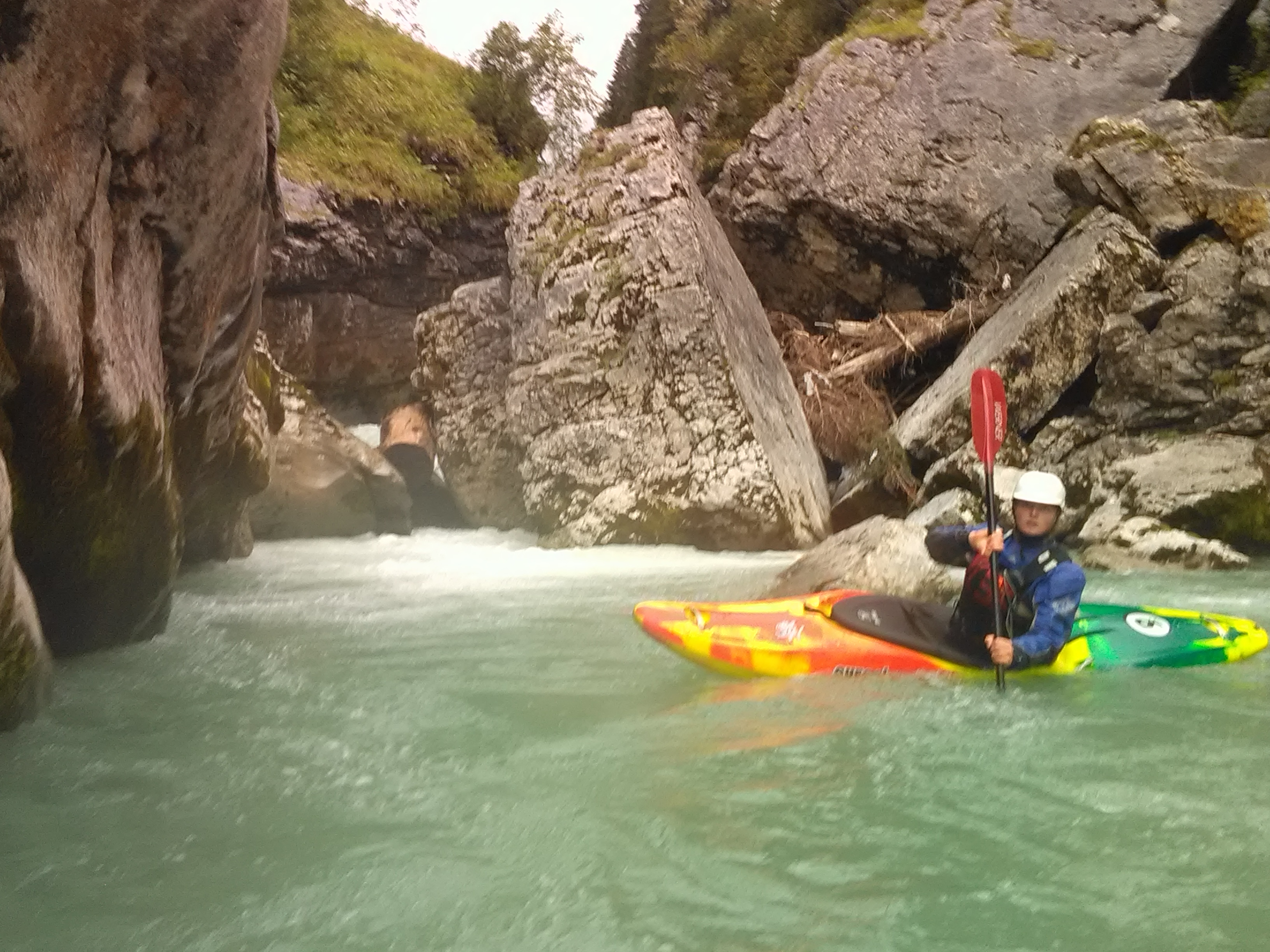
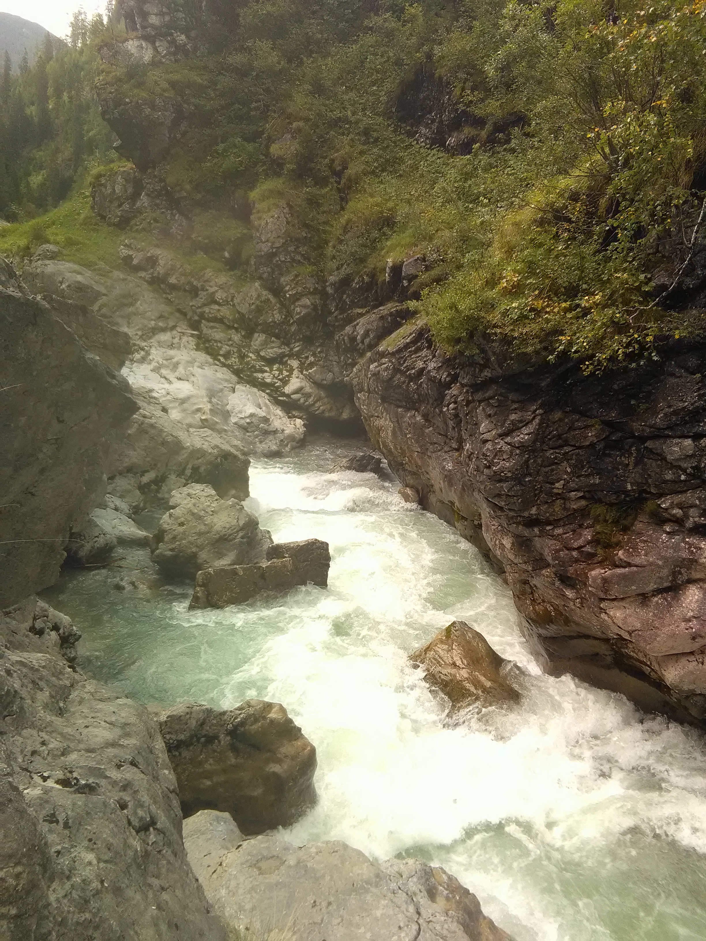
Die in einem vorherigen Hinweis erwähnte Siphonstufe am Anfang der Warther Schlucht hat sich verschoben und ist absolut unfahrbar!!! bei der Anfahrt ist das nicht Sichtbar. Wir haben links ca 60m vor dem Siphon das Kw genommen dann über die Rampe und zwischen den grossen Felsen durch umtragen.
Dangerous complete Siphon in the first part of the Warth gorge! (lower lechgorge)
Siphon is not visible from the top. We took a small eddy appr. 60m before the Siphon and portaged up a ramp and between two large Rocks.
See pictures below.
In einer Engstelle weiter unten liegen 2 bäume. Der obere oberhalb gut sichtbar über den ganzen Fluss. Der untere nicht so Sichtbar direkt in der Engstelle. Gut links umtragbar.
2 trees in a rapid below..first one is visible over the whole river. 20 meters below there is another one not so visible hanging in the narrow slot.
In der Oberen Lechschlucht hat sich auch einiges verschoben. Und es gibt auch da Bäume. Besser einmal zu viel gescoutet als einmal zu wenig.
rapids had changed from last year also in the upper Lechgorge.
Too much to mention. It needs lots of scouting!
Wir hatten 7,5 m3/s Tannbergbrücke
.
Dangerous complete Siphon in the first part of the Warth gorge! (lower lechgorge)
Siphon is not visible from the top. We took a small eddy appr. 60m before the Siphon and portaged up a ramp and between two large Rocks.
See pictures below.
In einer Engstelle weiter unten liegen 2 bäume. Der obere oberhalb gut sichtbar über den ganzen Fluss. Der untere nicht so Sichtbar direkt in der Engstelle. Gut links umtragbar.
2 trees in a rapid below..first one is visible over the whole river. 20 meters below there is another one not so visible hanging in the narrow slot.
In der Oberen Lechschlucht hat sich auch einiges verschoben. Und es gibt auch da Bäume. Besser einmal zu viel gescoutet als einmal zu wenig.
rapids had changed from last year also in the upper Lechgorge.
Too much to mention. It needs lots of scouting!
Wir hatten 7,5 m3/s Tannbergbrücke
.
 • #3076 • 03.10.2018 02:27
Venter Ache (AT), Untere (P4 - Zwieselstein)
Bewertung NW-MW-HW
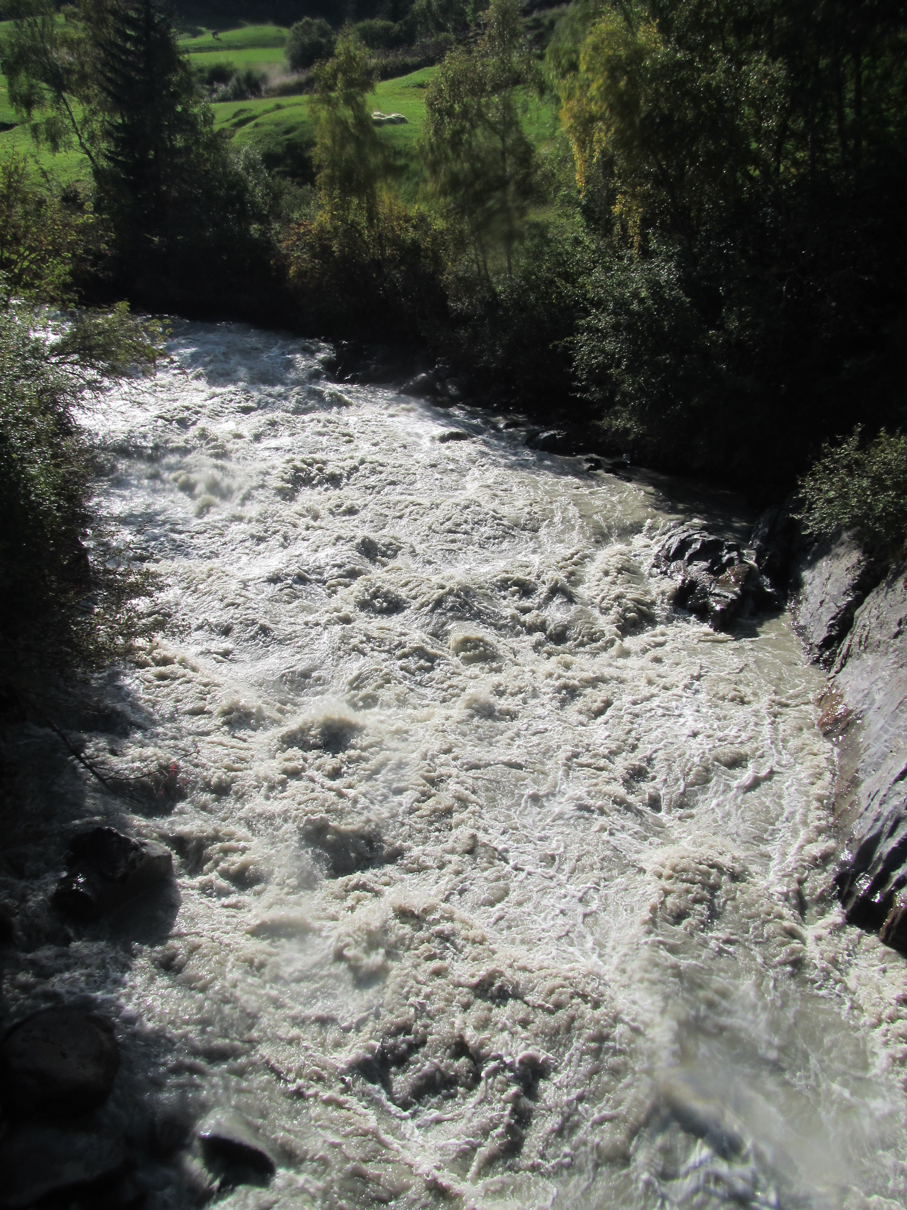
Am 21.09.18 eingebootet bei 110cm (Vent: Feuerwehrhaus), ausgebootet bei 120cm. Noch gut zu fahren, aber deutlich anderer Charakter.
100 cm HW Marke für WW4 passt ganz gut.
100 cm HW Marke für WW4 passt ganz gut.
 • #3075 • 01.10.2018 11:47
Ötztaler Ache (AT), Obere (Sölden - Bruggen)
Bewertung NW-MW-HW
gepaddelt am 22.9.2018. Pegel Sölden 83cm steigend auf 88cm (Ende Fahrt). Würd ich als oberes MW einstufen. Schwierigkeit sehe ich dann bei IV(IV+)
• #3070 • 28.09.2018 11:07Venter Ache (AT), Heilligkreuz-Schlucht
Befahrbarkeit
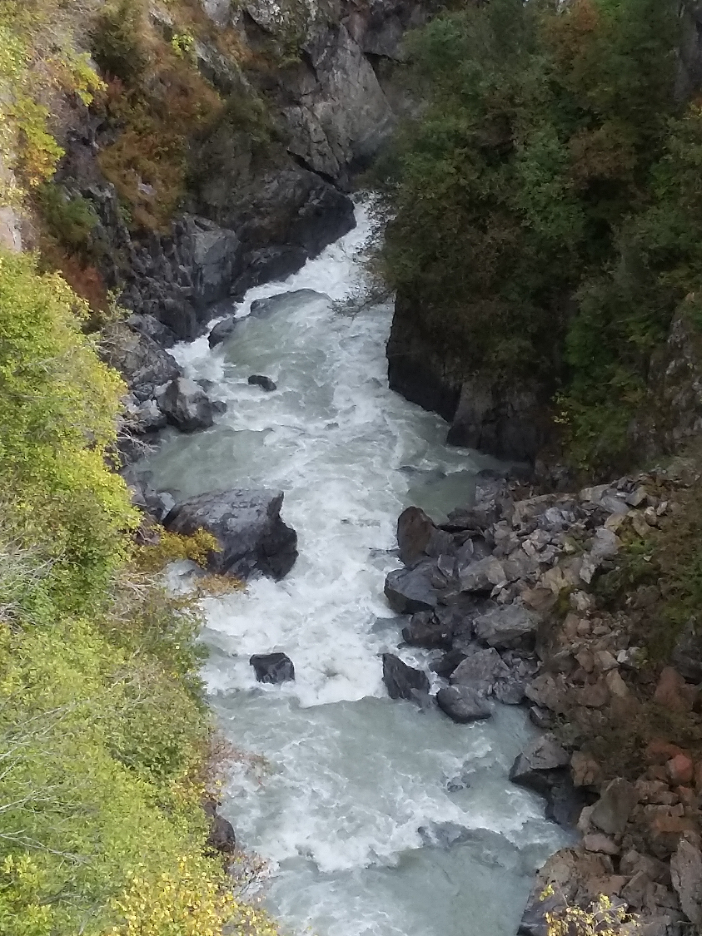
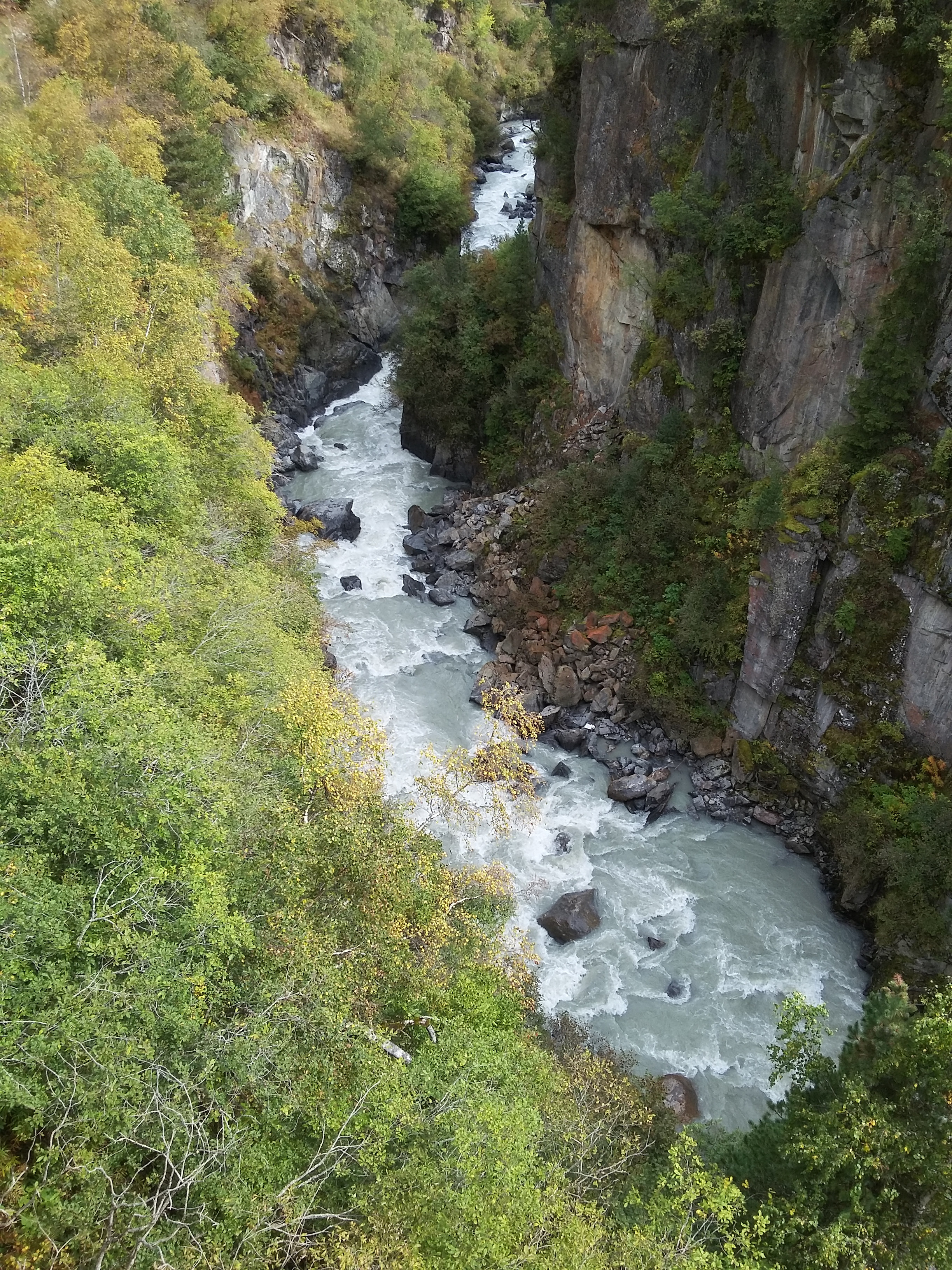
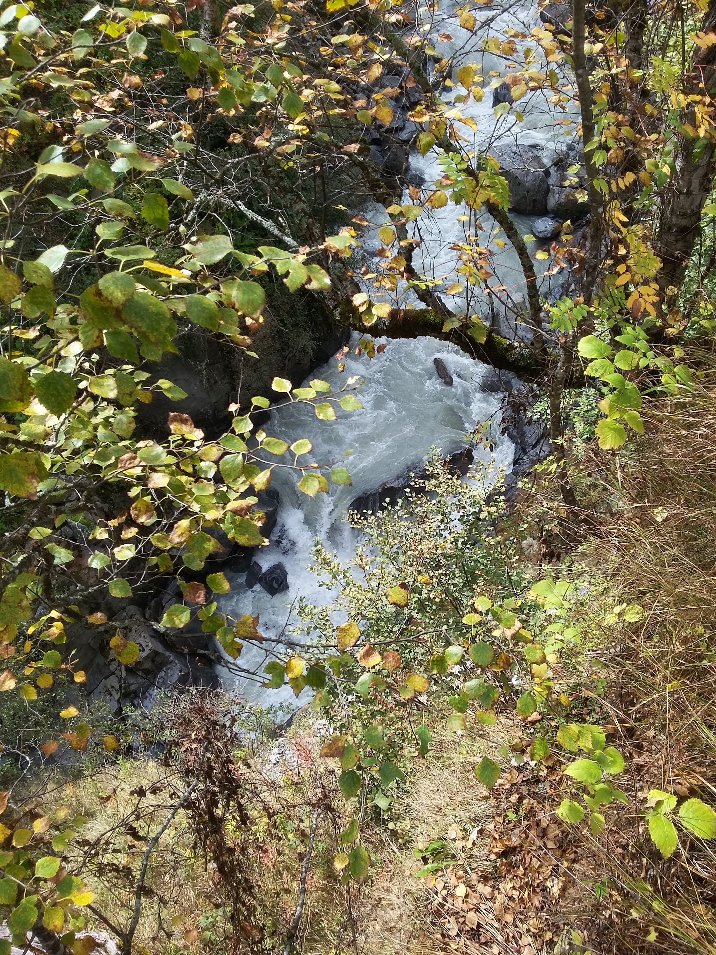
Nachtrag Foto.
 • #3069 • 28.09.2018 10:54
Venter Ache (AT), Heilligkreuz-Schlucht
Befahrbarkeit
Einfahrt gescouted am 22.9.18. Pegel Vent Feuerwehrhaus: 82cm rapide steigend. Würde HW-Marke bei höchstens 80cm setzen.
 • #3068 • 28.09.2018 10:45
Seez (CH), Mels - Walenstadt
Info
Die Pegel NW 2 / MW 4 / HW 8 gelten für den Einstieg in Flums auf dem renaturierten Abschnitt bis in den Walensee. Einstieg 47.083618, 9.359970
• #3067 • 23.09.2018 10:37Rhein (CH), Landquart - Balzers
Info
Die sanierte Schwelle am Ellhorn bei Balzers haben wir nun mehrmals befahren, macht aber nicht wirklich Spass. Die fahrbare Niederwasserrinne verläuft von rechts zur Mitte. Rechts besteht ein Kehrwasser beim der Wasserableitung (rechteckiger Betonblock). Umtragen über Wanderweg ist möglich aber mühsam. Als Austieg eignet sich die linke Seite über den Wuhrweg nun besser. Zufahrt von Sargans 47.047445, 9.474553
• #3066 • 22.09.2018 16:47Gail (AT), Untere, Birnbaum/Nostra - Wehr vor Kötschbach
Befahrbarkeit
Ungefähr nach einem Drittel der unteren Gail befindet sich unter der Brücke nach Aigen (neuer Betonbrückenpfeiler mittig, oben grüne Metallträger) ein starker Rückflauf, welcher bei unsachgemässer Befahrung doch zur Gefahr werden kann und eher als (III-IV) aufgeführt werden sollte...
Ansonsten freie Fahrt auf der mittleren und unteren Gail, jedoch mit einigen ins Wasser ragenden Bäumen, welche allesamt umfahren werden konnten. (5.9.2018)
Ansonsten freie Fahrt auf der mittleren und unteren Gail, jedoch mit einigen ins Wasser ragenden Bäumen, welche allesamt umfahren werden konnten. (5.9.2018)
• #3065 • 18.09.2018 11:18Reuss (CH), Pfaffensprung - Meitschligen
Befahrbarkeit
Mi. und heute gefahren. Pegel entsprechend den vorherigen Hinweisen. Kann schnell wechseln zwischen eher relaxten MW zu eher deftigem MW. Ich vermute, dass vor allem Abends ab 5 und über Mittag die höheren Wasserstände sind.
• #3059 • 07.09.2018 22:49Bílé Labe (CZ), (Prohibited!)
Kamenice (CZ), Upper (Dam section)
Reuss (CH), Obere Welle (Fällbaum), Bremgarten
Befahrbarkeit
Seltener Bodenkontakt xD
• #3055 • 03.09.2018 22:34Reuss (CH), Pfaffensprung - Meitschligen
Befahrbarkeit
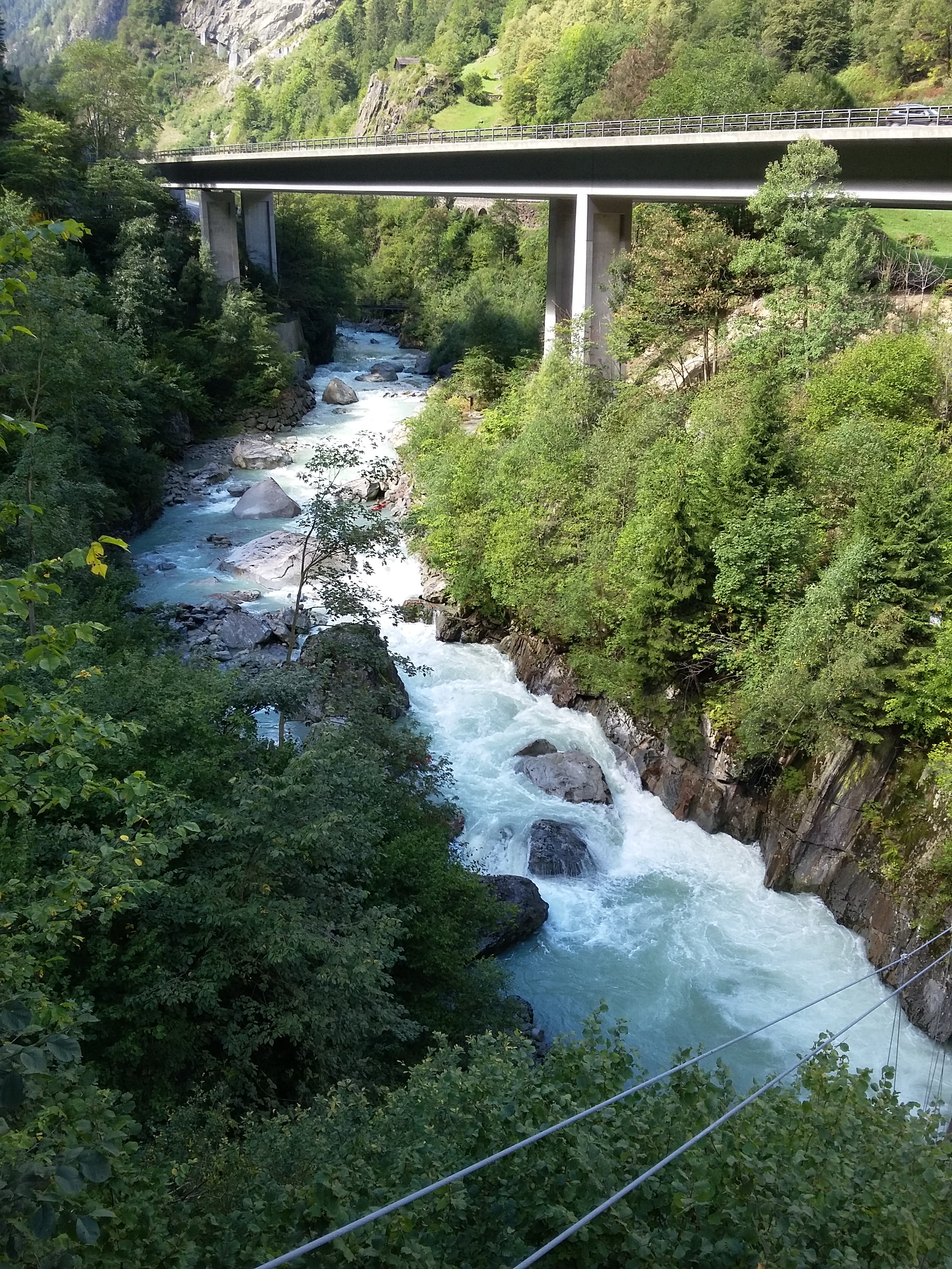
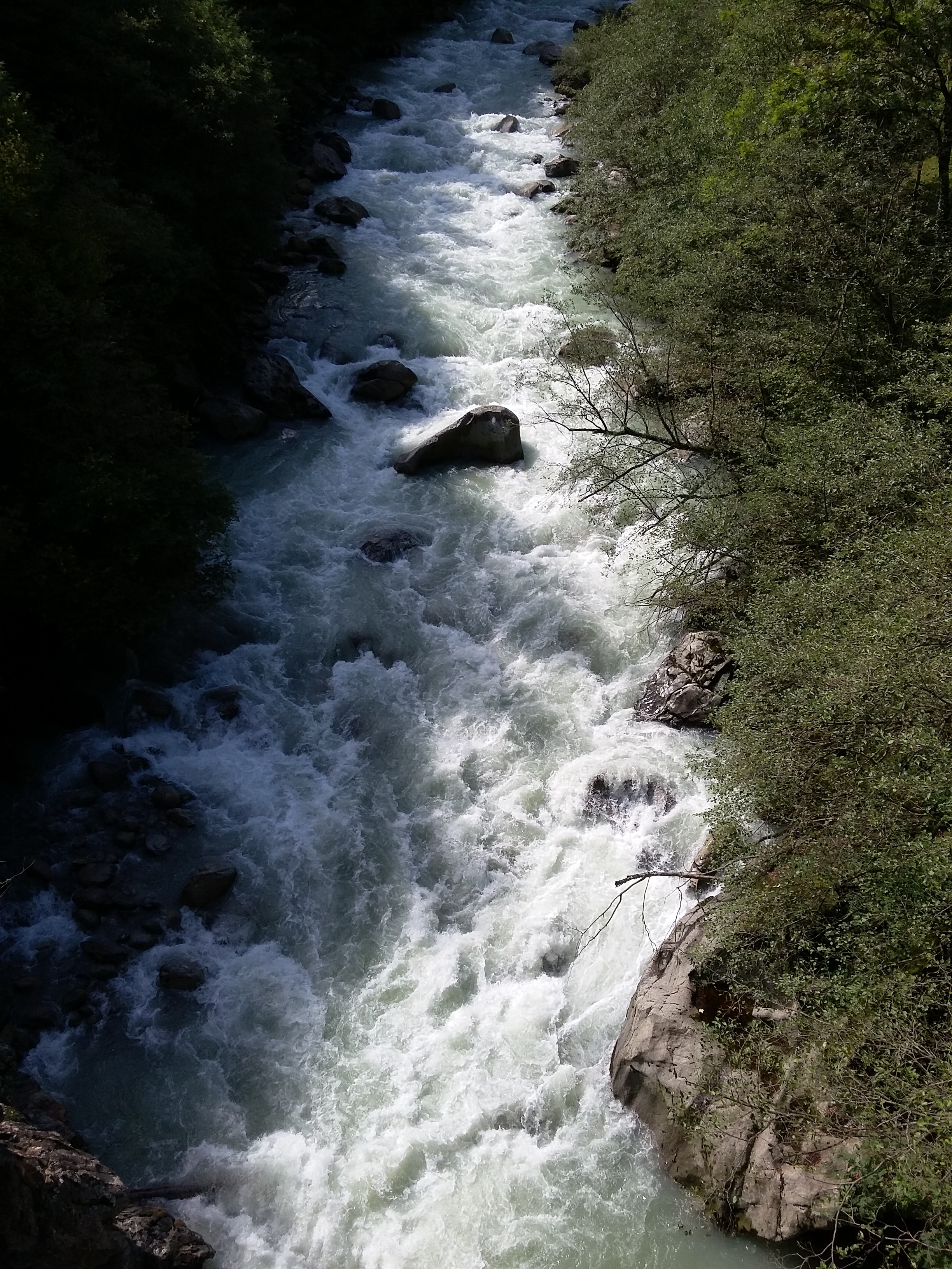
Gepaddelt am So 2.9.18. Kraftwerk Amsteg ausser Betrieb. Ca Mittelwasser, siehe Bilder von Brücke Meitschlingen und Fusssteg bei Fellibach
 • #3052 • 03.09.2018 12:07
Schwarzwasser (Černá) (CZ), Luhy - Potůčky
Rettenbach (AT), Standardstrecke
Gefahr aufgehoben
Durchgehende Befahrung der Standardstrecke möglich. Quelle: https://www.facebook.com/robert1machacek1/videos/10215366386744355/
• #3047 • 27.08.2018 10:04Lonza (CH), Kühmad - Minigolf Wiler
Bewertung NW-MW-HW
wie erklärt man sich eigentlich, dass die NW Marke mit 7cbm festgelegt wurde, die Bilder dieses Abschnittes aber alle bei 5.5-6.5cbm aufgenommen wurden ?! ;-)
Aus persönlicher Erfahrung würde ich die NW-Marke bei 4cbm ansetzen, dabei sind zwar einige Abschnitte schon etwas steinig, aber trotzdem insgesamt schon flüssig zu befahren. Und jeder cbm mehr führt zu spürbar mehr Druck bei diesem Bach.
Aus persönlicher Erfahrung würde ich die NW-Marke bei 4cbm ansetzen, dabei sind zwar einige Abschnitte schon etwas steinig, aber trotzdem insgesamt schon flüssig zu befahren. Und jeder cbm mehr führt zu spürbar mehr Druck bei diesem Bach.
• #3046 • 23.08.2018 15:24Isarco/Eisack (IT), Fortezza/Franzensfeste - Lago/Stausee
Madaubach (AT), Klamm
Info
Dieser Abschnitt ist wahrscheinlich ganzjährig befahrbar. Waren im Sommer auf dem Bach bei absoluter Trockenheit und haben Niedrigwasser vorgefunden.
Für den Zustieg haben wir 1h gebraucht. Der Punkt zum Abseilen befindet sich nach der großen Brücke über einen Zubringerbach und kurz hinterhalb zweigt der einzige Trampelpfad nach rechts ab. An dieser Stelle werden die Boote über 3 Seillängen abgeseilt.
Empfehlenswert ist ein Blick von der Klammbrücke auf 3/4 des Weges befindet sich eine Abzweigung von der Forststraße nach links mit Beschilderung.
Eine Verklausung haben wir nicht festgestellt, aber 2 unsaubere Stellen wurden umtragen. Bei mehr Wasser eventuell befahrbar.
Fazit: Ein Traumbach!
Für den Zustieg haben wir 1h gebraucht. Der Punkt zum Abseilen befindet sich nach der großen Brücke über einen Zubringerbach und kurz hinterhalb zweigt der einzige Trampelpfad nach rechts ab. An dieser Stelle werden die Boote über 3 Seillängen abgeseilt.
Empfehlenswert ist ein Blick von der Klammbrücke auf 3/4 des Weges befindet sich eine Abzweigung von der Forststraße nach links mit Beschilderung.
Eine Verklausung haben wir nicht festgestellt, aber 2 unsaubere Stellen wurden umtragen. Bei mehr Wasser eventuell befahrbar.
Fazit: Ein Traumbach!
• #3044 • 21.08.2018 10:12Vorderrhein (CH), Versam - Reichenau
Info
Hinweis der RhB vom 20.8.18:
Beim Kanu-Verlad in den Gepäckwagen Gepäckwagentüre erst öffnen, wenn Zug komplett steht. Es wird sonst automatisch Alarm beim Lockführer ausgelöst!
Hans Kanuschule
Beim Kanu-Verlad in den Gepäckwagen Gepäckwagentüre erst öffnen, wenn Zug komplett steht. Es wird sonst automatisch Alarm beim Lockführer ausgelöst!
Hans Kanuschule
• #3043 • 20.08.2018 15:13Vorderrhein (CH), Ilanz - Versam
Info
Hinweis der RhB vom 20.8.18:
Beim Kanu-Verlad in den Gepäckwagen Gepäckwagentüre erst öffnen, wenn Zug komplett steht. Es wird sonst automatisch Alarm beim Lockführer ausgelöst!
Hans Kanuschule
Beim Kanu-Verlad in den Gepäckwagen Gepäckwagentüre erst öffnen, wenn Zug komplett steht. Es wird sonst automatisch Alarm beim Lockführer ausgelöst!
Hans Kanuschule
• #3042 • 20.08.2018 15:12Seite: 1 2 3 4 5 . . . 168 169 170 171 172 173 174 . . . 284 285 286
nach oben