Rivermap
HomeThe Map
List View
Befahrbarkeit
English Summary
Karte Einbetten
Systemstatus
Kontakt und Team
Datenlieferanten
Contributor Agreement
The RCSD
Public licenses
Rivermap Japan
![]() "Rivermap Supporter" Group
"Rivermap Supporter" Group
Flusshinweise
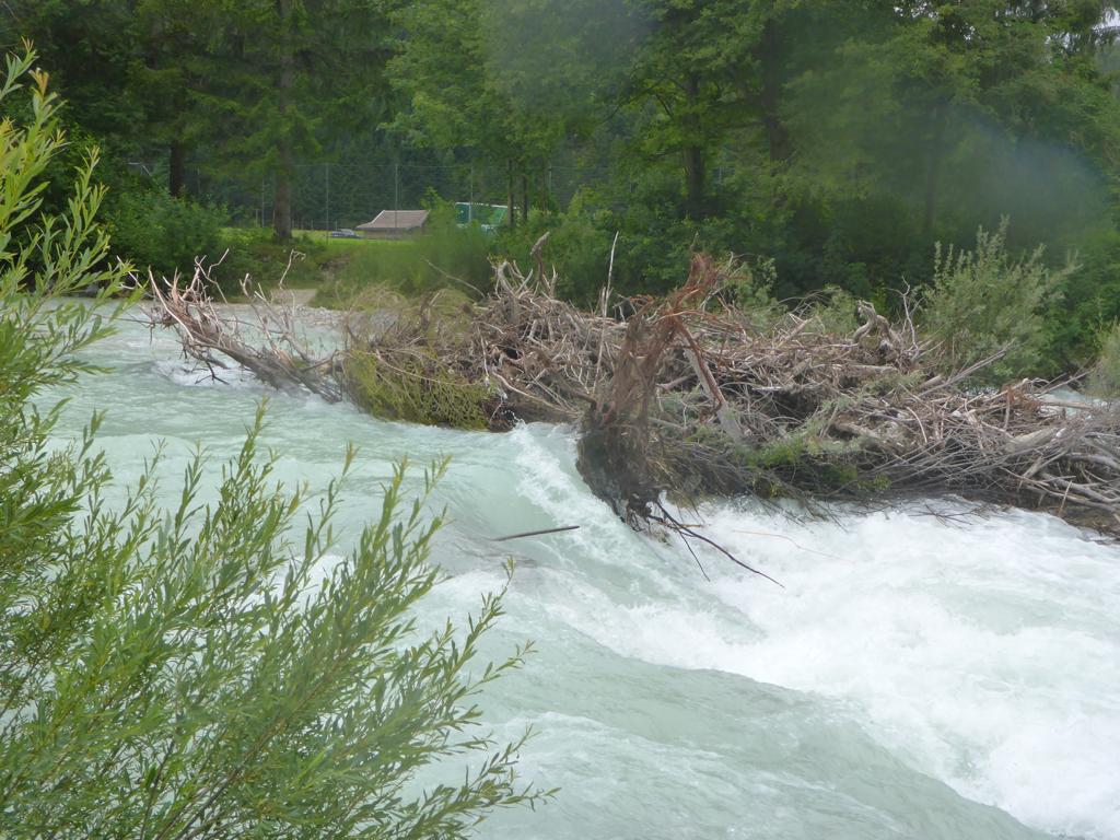
Als Grundlage dient wenn immer möglich ein Flussführer.
Isar: Obere (Scharnitz - Camping Isarhorn)
II 0 km

Isar @ Mittenwald 96 cm @ 04:45
100 | 170 cm
Resultate 1 - 5 von 5
ISAR - Katarakt below Spielplatz- Bicycle in the rapid.
Exact location of the bicycle seen in the katarakt below Mittenwald Spielplatz. Select Satellite view and zoom full in.
The map pin is in the location in the rapid where the bike was seen.
https://goo.gl/maps/Jf7LBGqajbLSBoQX7
Exact location of the bicycle seen in the katarakt below Mittenwald Spielplatz. Select Satellite view and zoom full in.
The map pin is in the location in the rapid where the bike was seen.
https://goo.gl/maps/Jf7LBGqajbLSBoQX7
 • #5327 • 11.06.2023 15:47
ACHTUNG - GEFAHR - ISAR - Katarakt under Mittenwald Spielplatz nach der Brücke.
Es steckt ein FAHRRAD direct im Katarakt, etwas nach der Mitte.
Nicht zu sehen vom Wasser aus.
Gesamter Rahmen unter Wasser und damit sehr gefährlich.
Unbedingt von der Umtrage Rampe anschauen, liegt nahe an der gewöhnlichen FahrRinne.
Bitte Teilen.
Photos kommen.
6 Juni.
Es steckt ein FAHRRAD direct im Katarakt, etwas nach der Mitte.
Nicht zu sehen vom Wasser aus.
Gesamter Rahmen unter Wasser und damit sehr gefährlich.
Unbedingt von der Umtrage Rampe anschauen, liegt nahe an der gewöhnlichen FahrRinne.
Bitte Teilen.
Photos kommen.
6 Juni.
• #5305 • 05.06.2023 22:41Piece of iron bar in one of the bigger rapids half way. Nog visible from above. The rapids is easily portaged on the right side.
Driving back to the put-in you van stop at the sign wasserschutzgebiet 1km to inspect before you get in.
Driving back to the put-in you van stop at the sign wasserschutzgebiet 1km to inspect before you get in.
 • #4508 • 08.08.2021 17:53
Bewertung WW-Grad
Beim derzeitigen Pegel 1.50 (5.6.19) sollte man WW III-IV beherrschen
• #3311 • 06.06.2019 01:14