Rivermap
HomeThe Map
List View
Befahrbarkeit
English Summary
Karte Einbetten
Systemstatus
Kontakt und Team
Datenlieferanten
Contributor Agreement
The RCSD
Public licenses
Rivermap Japan
![]() "Rivermap Supporter" Group
"Rivermap Supporter" Group
Flusshinweise
Als Grundlage dient wenn immer möglich ein Flussführer.
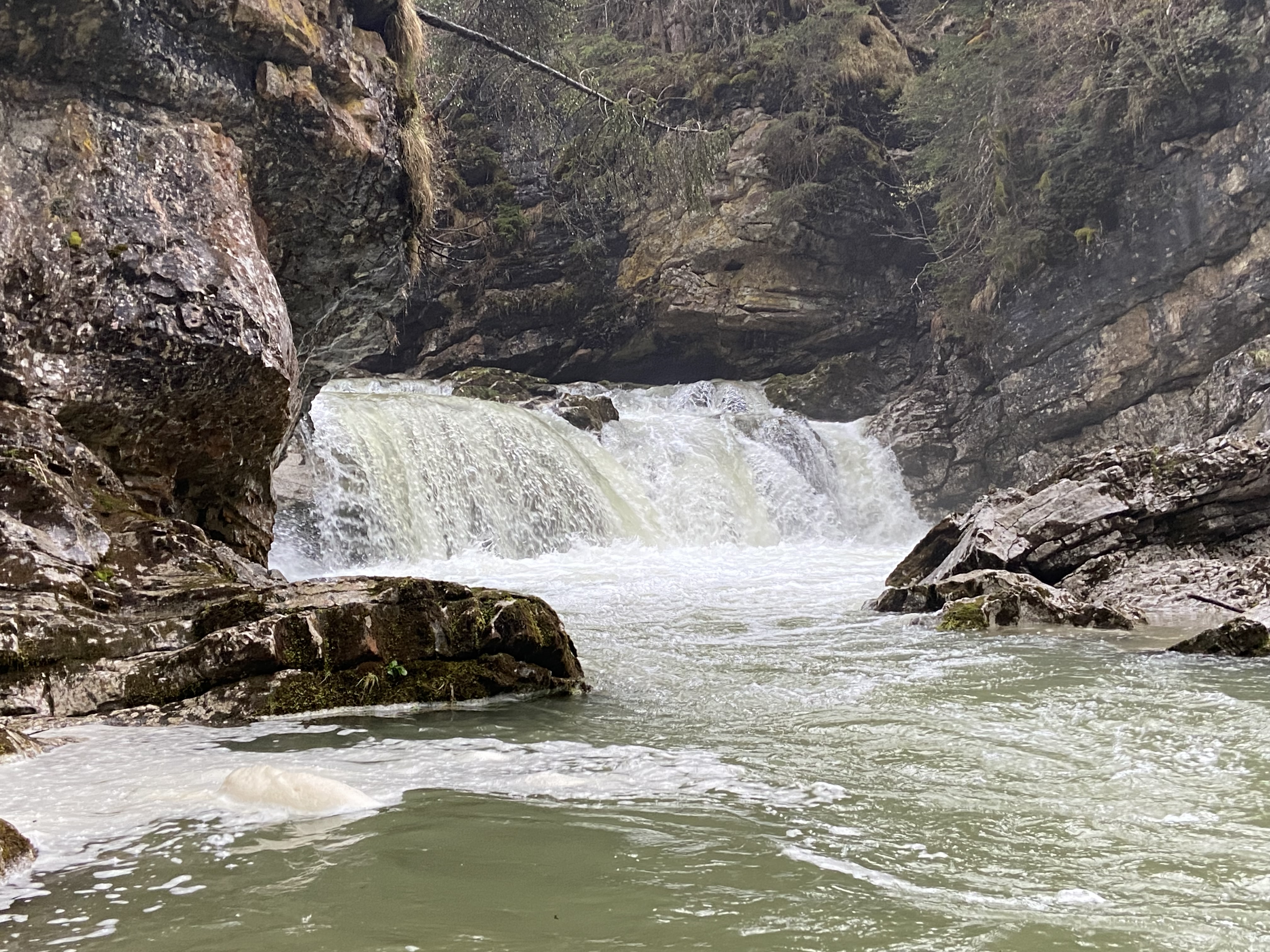
Walchen: Wasserfallstrecke
IV+ (V) 0 km

Walchen @ Walchen 0.6 m³/s @ 23:00
12 | 15 .. 20 | 23 m³/s (Indirect calibration!)
Resultate 1 - 7 von 7
Bewertung NW-MW-HW
For the upper section, there's a much more reliable and closer gauge than the used one. You can access it at https://hydro.tirol.gv.at/#/Wasserstand?station=E00212
In order to set the new, improved levels, we need your help and submissions of your last descent and your assessment of references.
Thank you!
Your Rivermap team
In order to set the new, improved levels, we need your help and submissions of your last descent and your assessment of references.
Thank you!
Your Rivermap team
 • #7163 • 26.02.2026 17:45
Kurz vor dem Ausstieg steht auf der linken Seite ein gefährliches Eisen flußaufwärts.
• #6012 • 09.06.2024 16:31Bewertung NW-MW-HW
Bei 8m3 ist eine Befahrung nicht möglich!
NW stimmt mit 6m3 also nicht.
NW stimmt mit 6m3 also nicht.
• #6011 • 09.06.2024 16:29Befahrbarkeit
Heute bei 15 Kubikmetern gepaddelt. Als Hochwasser bezeichne ich das heute nicht, Mittelwasser stimmt ganz gut.
Kurzer aber richtig guter Abschnitt. Macht Spaß , ist fair und vom Charakter her top!
Keine Bäume!
Kurzer aber richtig guter Abschnitt. Macht Spaß , ist fair und vom Charakter her top!
Keine Bäume!

 • #5139 • 29.04.2023 22:30