Rivermap
HomeThe Map
List View
Befahrbarkeit
English Summary
Karte Einbetten
Systemstatus
Kontakt und Team
Datenlieferanten
Contributor Agreement
The RCSD
Public licenses
Rivermap Japan
![]() "Rivermap Supporter" Group
"Rivermap Supporter" Group
Flusshinweise
Als Grundlage dient wenn immer möglich ein Flussführer.
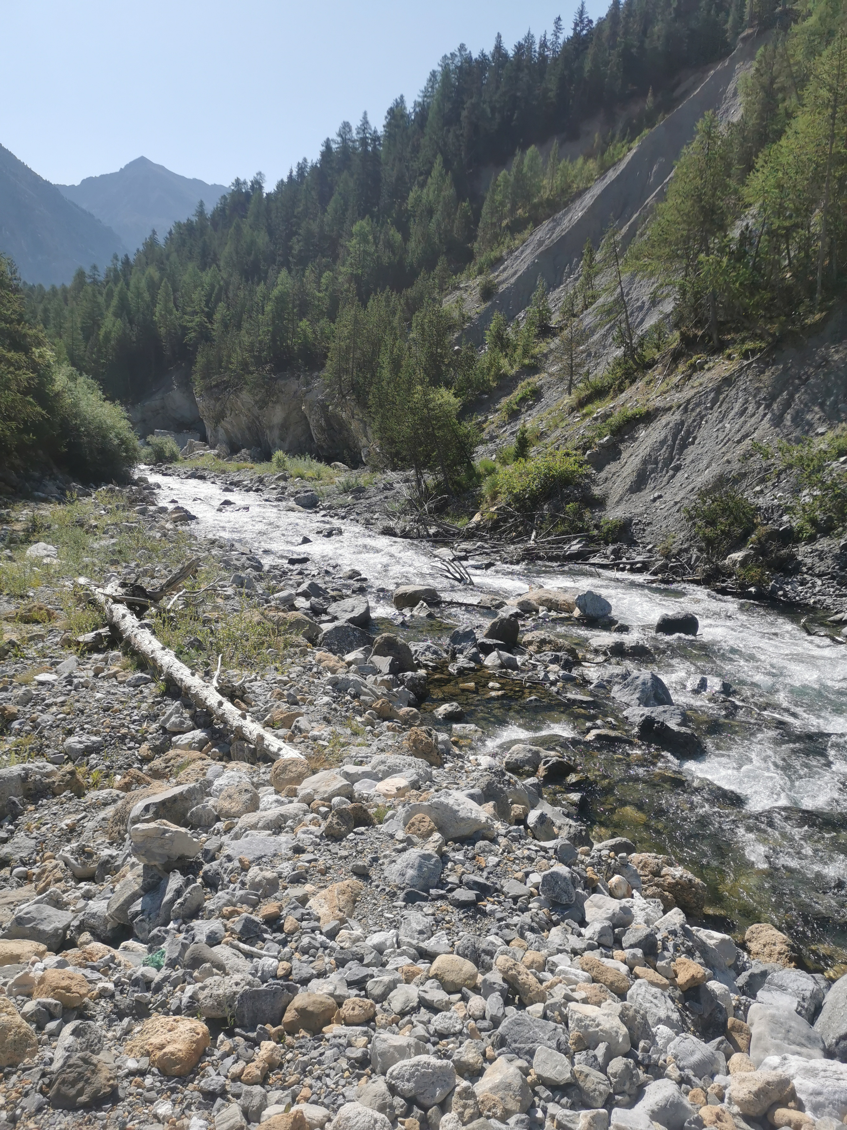
Clarée: Névache - Pamplinet
III-IV (X) 0 km

Durance @ Val-des-Prés 2.19 m³/s @ 01:00
? | ? m³/s (Indirect calibration!)
Resultate 1 - 6 von 6
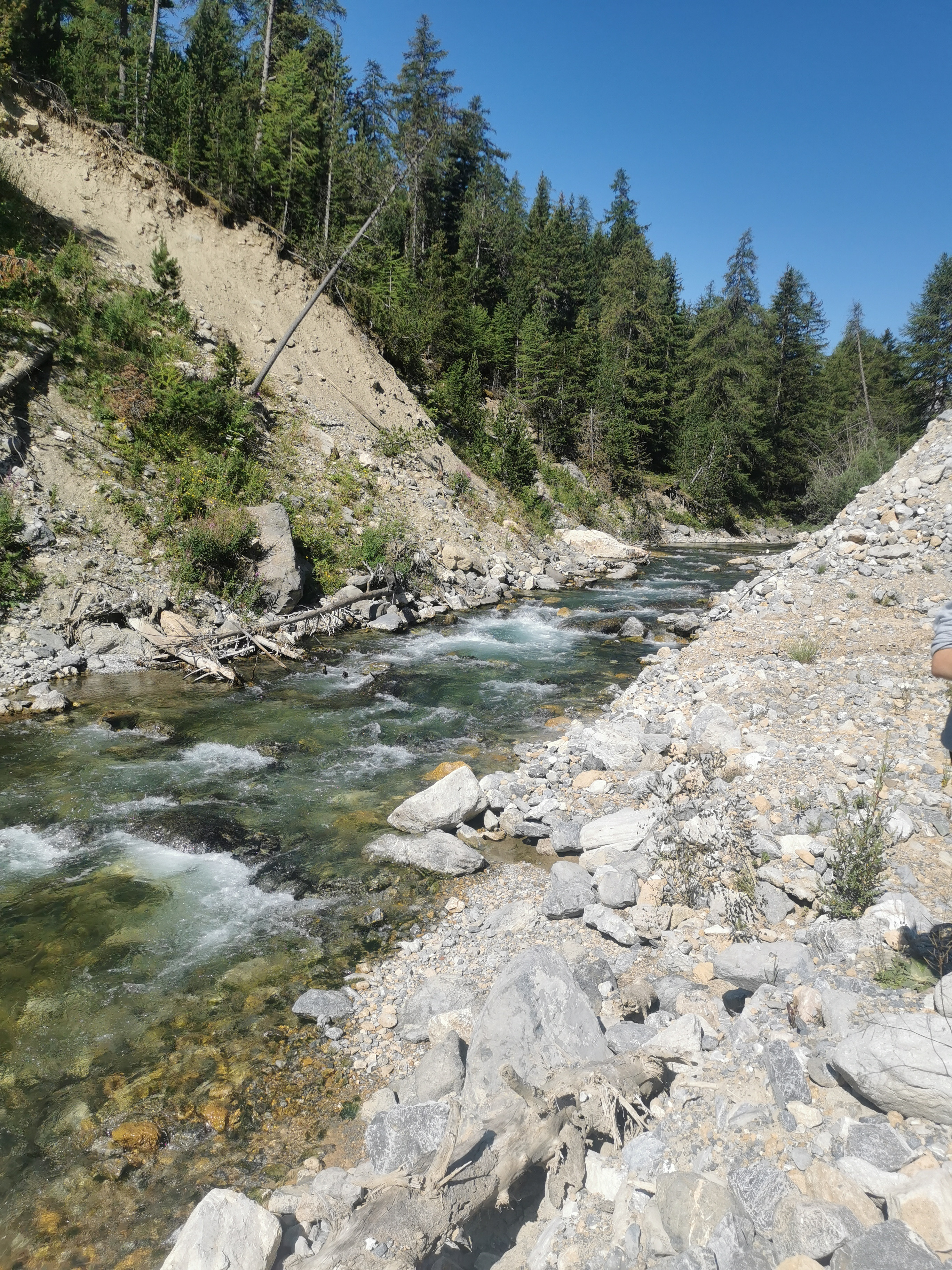
There is a river wide tree around 600m from the wooden bridge at the top which is hard to see from the water ....it would be a major pinning hazard
Please treat this section with a lot of caution at the moment
Please treat this section with a lot of caution at the moment
 • #6651 • 09.06.2025 17:20
Bewertung NW-MW-HW
Aufgenomme Fotos bei Hilfstation Guisanne 7.8m3/s, was MW wäre, Fluss hat aber NW.
Pegel bei Embrun 31m3/s, was vermutlich im Sommer mehr Relevanz hat (NW bei 80m3/s gem. frührer Eintrag)
Standort Aufnahmen 45.0161204, 6.6359581.
Pegel bei Embrun 31m3/s, was vermutlich im Sommer mehr Relevanz hat (NW bei 80m3/s gem. frührer Eintrag)
Standort Aufnahmen 45.0161204, 6.6359581.
 • #5382 • 20.07.2023 11:46
Info
Paddled from Pont des Armands (below landslide)
45°0'57.380"N, 6°38'20.034"E
Steep WW3 with lack of eddies, from Plampinet WW2. Be careful of shrubs sticking out of banks to streamline.
I recommend to finish at a bridge here
44°59'12.729"N, 6°39'56.259"E
or at a picnic place 900 m above.
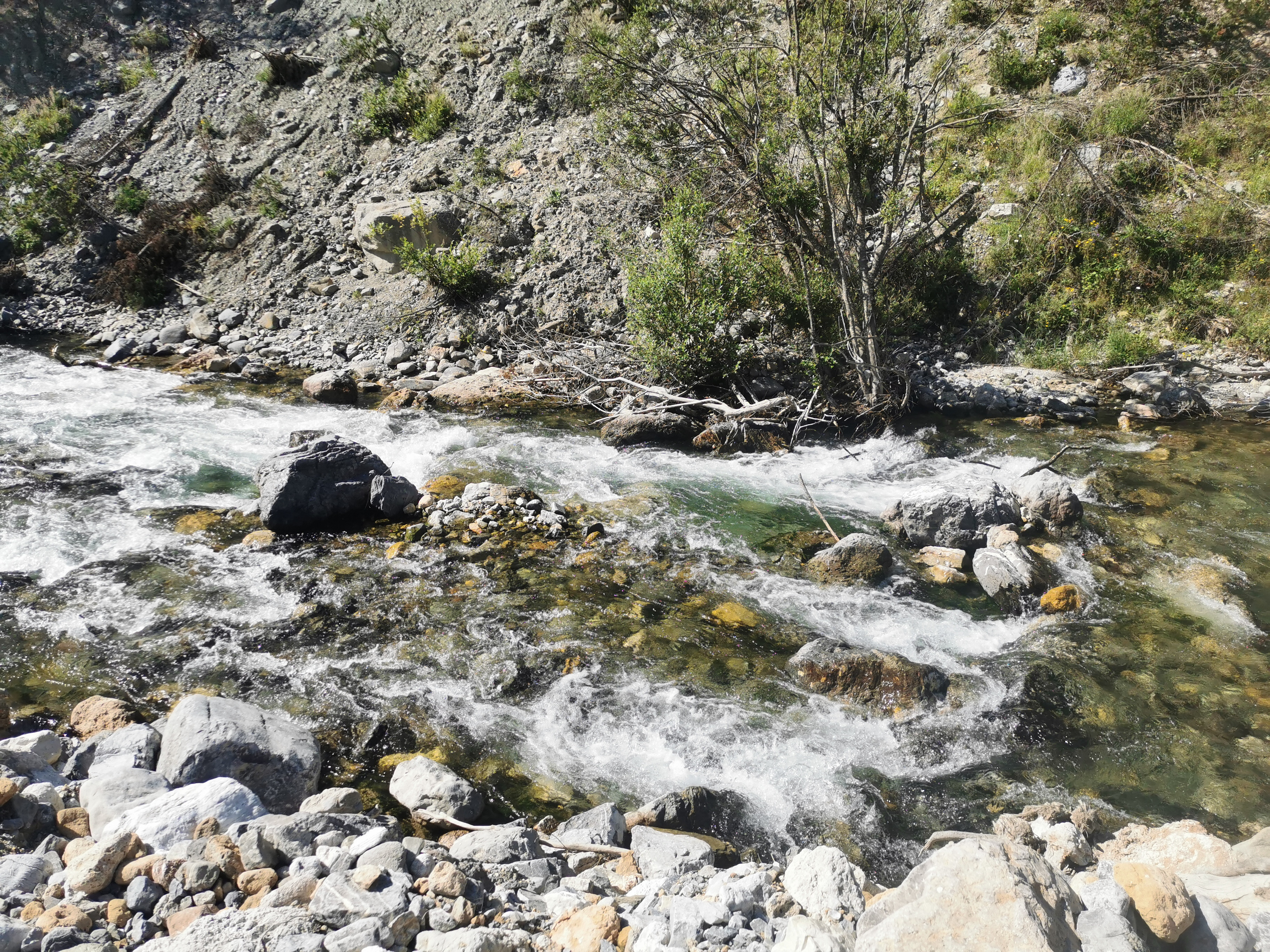
There is a huge (cca 100 m) tree barrage here
44°58'9.975"N, 6°40'12.926"E
and another two portages follows.
We ended here
44°57'43.501"N, 6°40'34.765"E
but it is definitely not worth it.
Lower-mid water, gauge at Guisane, Monetier-les-Bains shows 10 m³/s @ 12:00
45°0'57.380"N, 6°38'20.034"E
Steep WW3 with lack of eddies, from Plampinet WW2. Be careful of shrubs sticking out of banks to streamline.
I recommend to finish at a bridge here
44°59'12.729"N, 6°39'56.259"E
or at a picnic place 900 m above.
There is a huge (cca 100 m) tree barrage here
44°58'9.975"N, 6°40'12.926"E
and another two portages follows.
We ended here
44°57'43.501"N, 6°40'34.765"E
but it is definitely not worth it.
Lower-mid water, gauge at Guisane, Monetier-les-Bains shows 10 m³/s @ 12:00
• #4758 • 23.05.2022 17:32Flash!
After the bridge in the middle of the Trip the Hill Came Ingo the river and pushes the river in the woods. We stopped the trip at the bridge.
• #3494 • 14.07.2019 20:10Achtung! Ca 300 m nach dem Start kommt ein rechtsseitige
langstreckig unterspülte Wand, die zudem mit einem durch
eine Wurzel zwischen einem großen Stein und der Wand
durch einen Siphon beginnt. Extrem gefährlich!
Frühzeitig bei Beginn der rechten Wand links fahren, da der
Hauptstrom nach rechts führt!
Angeblich besteht dieser Siphon schon seit vier Jahren...
• #1120 • 29.05.2012 01:45Info
• #936 • 06.05.2012 10:30