Rivermap
HomeThe Map
List View


 Flusshinweise
Befahrbarkeit
English Summary
Karte Einbetten
Systemstatus
Kontakt und Team
Datenlieferanten
Contributor Agreement
The RCSD
Public licenses
Rivermap Japan
 "Rivermap Supporter" Group
Flusshinweise
Als Grundlage dient wenn immer möglich ein Flussführer.
 RSS-Feed
abonnieren und nichts verpassen.
Venter Ache: Untere (P4 - Zwieselstein)
IV 4.31 km

Venter Ache @ Vent (altes Feuerwehrhaus) 41 cm @ 19:30
50 | 75 .. 90 | 100 cm
Resultate 1 - 13 von 13
Info
 • #7549 • 16.09.2026 09:17
Info
• #6846 • 28.08.2025 20:28Info
Untere Venter nach dem Hochwasser vom August 2023
https://youtu.be/eTR6xiPUAHA
https://youtu.be/eTR6xiPUAHA
• #5529 • 28.09.2023 13:07Fahrverbot
Do NOT cross the fields when putting in. The farmer owning them is extremely angry at kayakers and is threatening to ban access.
Cross the wooden bridge and lower your kayaks down to the river on the right just after the bridge. You'll see a steep and slippery, but short, path down. That's the one.
Cross the wooden bridge and lower your kayaks down to the river on the right just after the bridge. You'll see a steep and slippery, but short, path down. That's the one.
 • #3584 • 11.10.2019 11:27
Info
At around LW (50cm) this is an easy class III with 2 or 3 class IV-ish spots. Amazing scenery all the way down.
• #3583 • 11.10.2019 11:21Bewertung NW-MW-HW
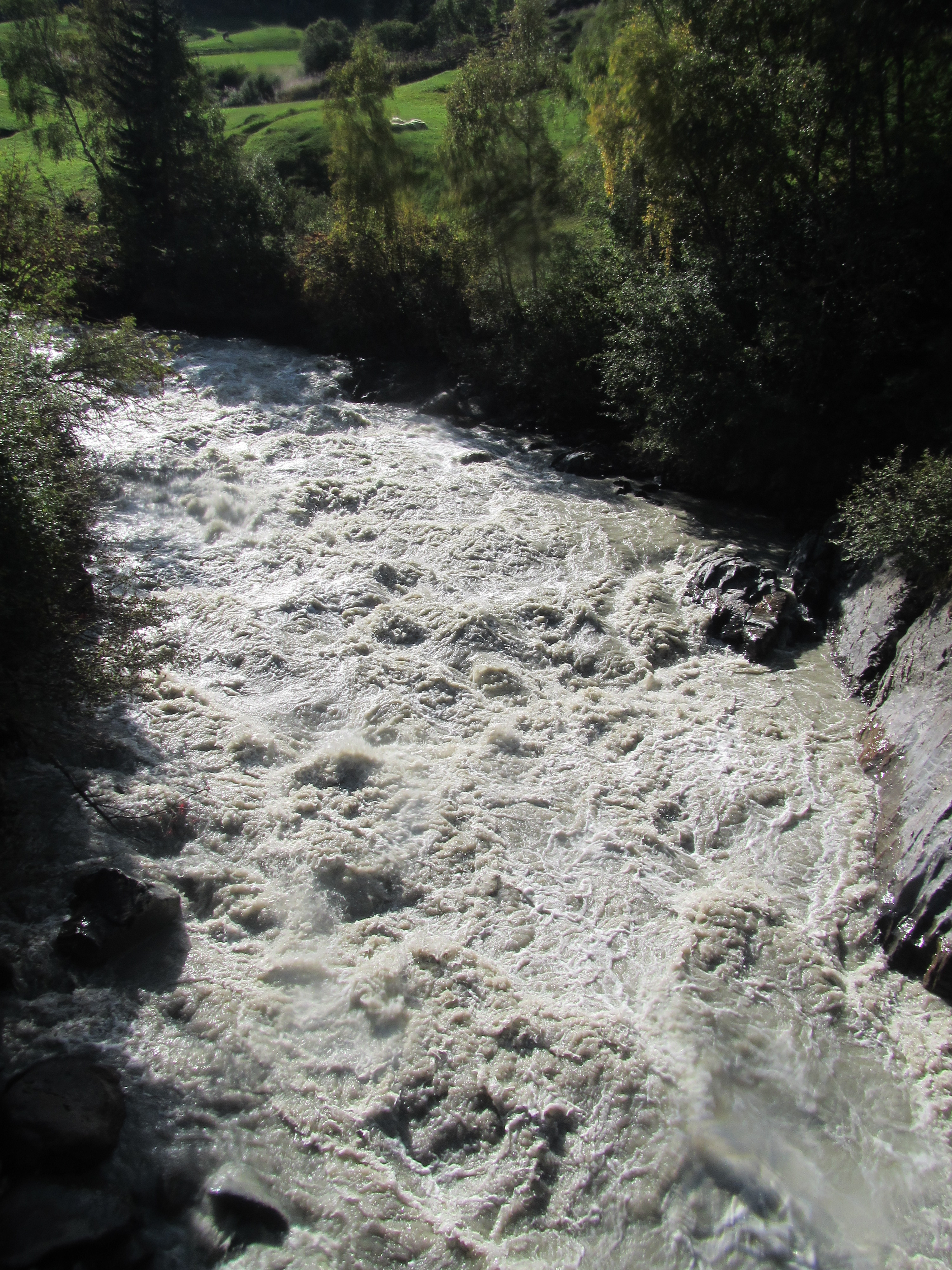
Am 21.09.18 eingebootet bei 110cm (Vent: Feuerwehrhaus), ausgebootet bei 120cm. Noch gut zu fahren, aber deutlich anderer Charakter.
100 cm HW Marke für WW4 passt ganz gut.
100 cm HW Marke für WW4 passt ganz gut.
 • #3075 • 01.10.2018 11:47
Befahrbarkeit
Befahren am 18.09.2015 bei Pegel 210cm Tumpen bzw 75cm Vent(altes Feuerwehrhaus)/Venter Ache. Schön rund. Freie Fahrt auf ganzer Strecke.
• #1749 • 25.09.2015 10:53Info
• #1732 • 03.09.2015 12:13Info
Pegel: Tumpen / Oetz
NW: 170cm
MW: 205cm
HW: 230cm, schnell, kräftige Walzen
http://www.tirol.gv.at/themen/umwelt/wasser/wasserkreislauf/wasserstand/hwpegel/
NW: 170cm
MW: 205cm
HW: 230cm, schnell, kräftige Walzen
http://www.tirol.gv.at/themen/umwelt/wasser/wasserkreislauf/wasserstand/hwpegel/


 • #710 • 05.02.2012 18:32