Flusshinweise
Als Grundlage dient wenn immer möglich ein Flussführer.
Rienza/Rienz: Gole Alte / Obere Rienzschlucht
IV-V (V+) 0 km

Rienza/Rienz @ Vandoies/Vintl 39.4 m³/s @ 22:40
? | ? m³/s (Indirect calibration!)
Resultate 1 - 6 von 6
Bewertung NW-MW-HW
L'idrometro di Vintl è decisamente poco affidabile in quanto a monte del lago e della diga, il cui rilascio è controllato.
Il Rienza ha quasi sempre acqua per via del rilascio minimo controllato (circa 5 m3/s), ma, sempre per via della diga, il livello si puo' alzare improvvisamente durante una discesa.
In tal caso è consigliato uscire subito dal fiume.
Il Rienza ha quasi sempre acqua per via del rilascio minimo controllato (circa 5 m3/s), ma, sempre per via della diga, il livello si puo' alzare improvvisamente durante una discesa.
In tal caso è consigliato uscire subito dal fiume.
Befahrbarkeit
We had good medium water today though the photo of indication showed us in comparison low water or even below.
Free of trees!
Free of trees!
Befahrbarkeit
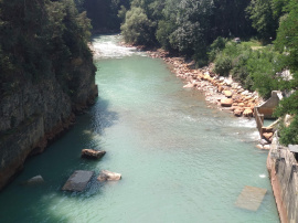
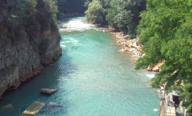
Dam maintenance is over and dam release is, sadly, back to minimum, and will apparently stay that way unless there's rain. Picture indicates minimum level conditions at the put-in
Info
Picture indicates medium-high level in the gorge (dam gates partially open and releasing about twice the volume of the usual minimum-release condition).
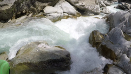
With this level the class V rapid should be portaged
With this level the class V rapid should be portaged
Befahrbarkeit
Wegen Kraftwerkablass mit Mindestabgabe ganzjährig zu paddeln.
Due to powerhouse outflow is this section for the whole year able to paddle.
Due to powerhouse outflow is this section for the whole year able to paddle.


